STS090-740-69
| NASA Photo ID | STS090-740-69 |
| Focal Length | 250mm |
| Date taken | 1998.04.26 |
| Time taken | 22:40:41 GMT |

Cloud masks available for this image:
Spacecraft nadir point: 21.8° N, 106.6° W
Photo center point: 23.5° N, 106.5° W
Photo center point by machine learning:
Photo center point: 23.5° N, 106.5° W
Photo center point by machine learning:
Nadir to Photo Center: North
Spacecraft Altitude: 137 nautical miles (254km)
Camera: | Hasselblad |
Focal Length: | 250mm |
Camera Tilt: | 37 degrees |
Format: | 5069: Kodak Elite 100S, E6 Reversal, Replaces Lumiere, Warmer in tone vs. Lumiere |
Film Exposure: | Normal |
| Additional Information | |
| Width | Height | Annotated | Cropped | Purpose | Links |
|---|---|---|---|---|---|
| 4030 pixels | 4030 pixels | No | No | Earth From Space collection | Download Image |
| 639 pixels | 639 pixels | No | No | Earth From Space collection | Download Image |
| 520 pixels | 502 pixels | No | No | Download Image |
Download Packaged File
Download a Google Earth KML for this Image
View photo footprint information
Download a GeoTIFF for this photo
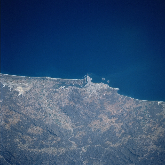
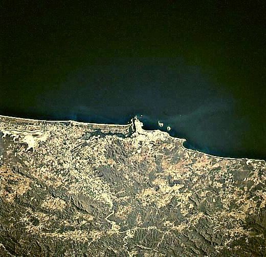
Image Caption: STS090-740-069 Mazatlan, Sinaloa, Mexico April 1998
The physical setting of the popular resort city of Mazatlan (concentration of light colored area along the coast near the center of the picture), with an estimated 500,000 in population, is visible along this section of the west coast of Mexico. Immediately inland from the extensive coastal beaches, two lagoons that parallel the coastline can be identified southeast of Mazatlan. The general topography along the narrow coastal plains consist of rolling, vegetated hills (darker terrain) and drier, less vegetated valleys (lighter colored landscape). The general climate for this area along the west coast of Mexico is semi-arid.
The physical setting of the popular resort city of Mazatlan (concentration of light colored area along the coast near the center of the picture), with an estimated 500,000 in population, is visible along this section of the west coast of Mexico. Immediately inland from the extensive coastal beaches, two lagoons that parallel the coastline can be identified southeast of Mazatlan. The general topography along the narrow coastal plains consist of rolling, vegetated hills (darker terrain) and drier, less vegetated valleys (lighter colored landscape). The general climate for this area along the west coast of Mexico is semi-arid.
