STS090-712-8
| NASA Photo ID | STS090-712-8 |
| Focal Length | 250mm |
| Date taken | 1998.04.25 |
| Time taken | 16:26:31 GMT |
Resolutions offered for this image:
4071 x 4095 pixels 1087 x 1056 pixels 4071 x 4095 pixels 763 x 768 pixels 480 x 479 pixels
4071 x 4095 pixels 1087 x 1056 pixels 4071 x 4095 pixels 763 x 768 pixels 480 x 479 pixels

Cloud masks available for this image:
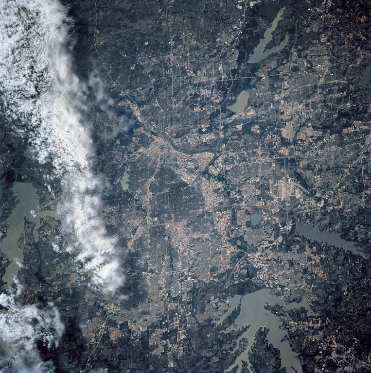
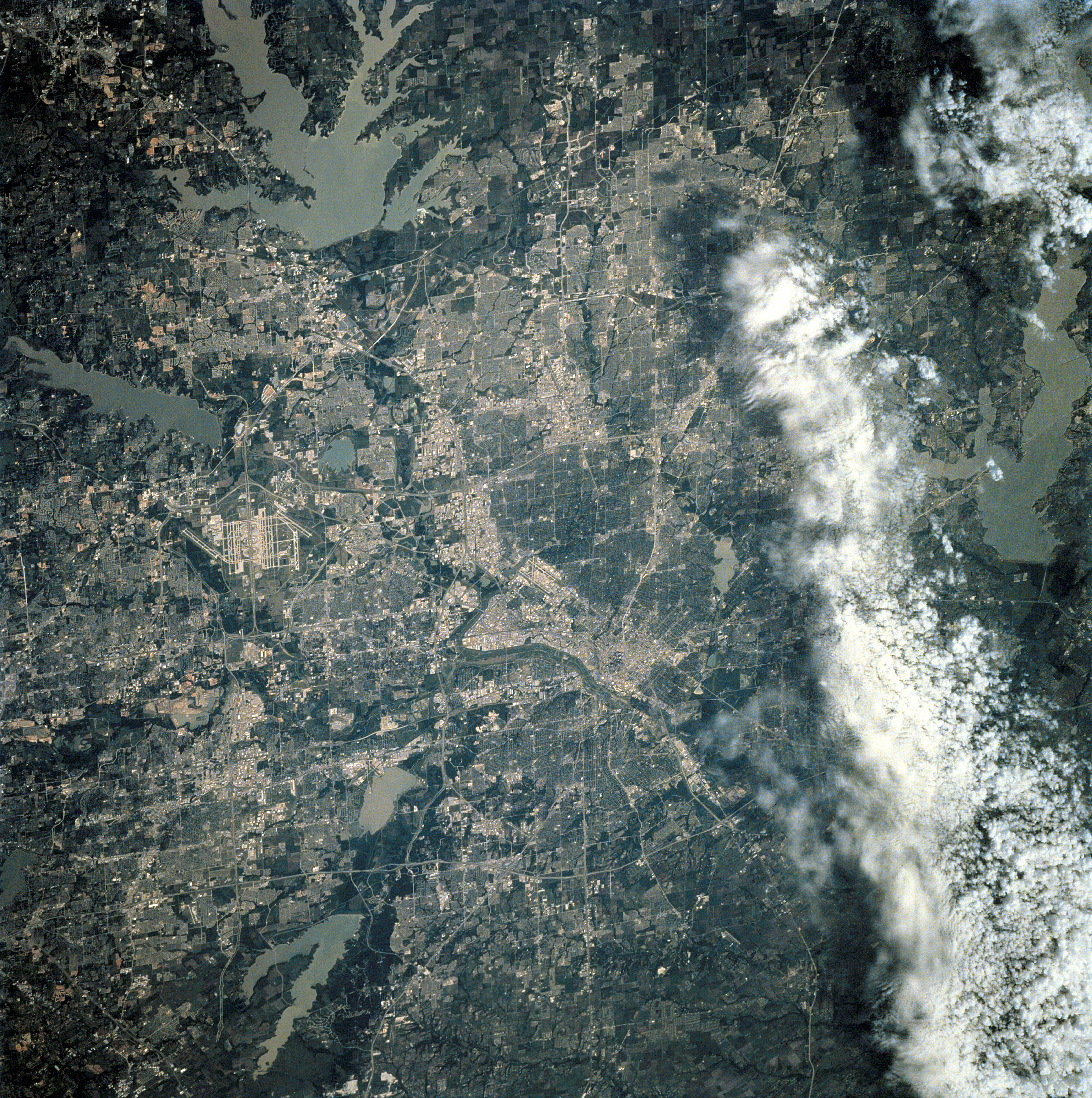
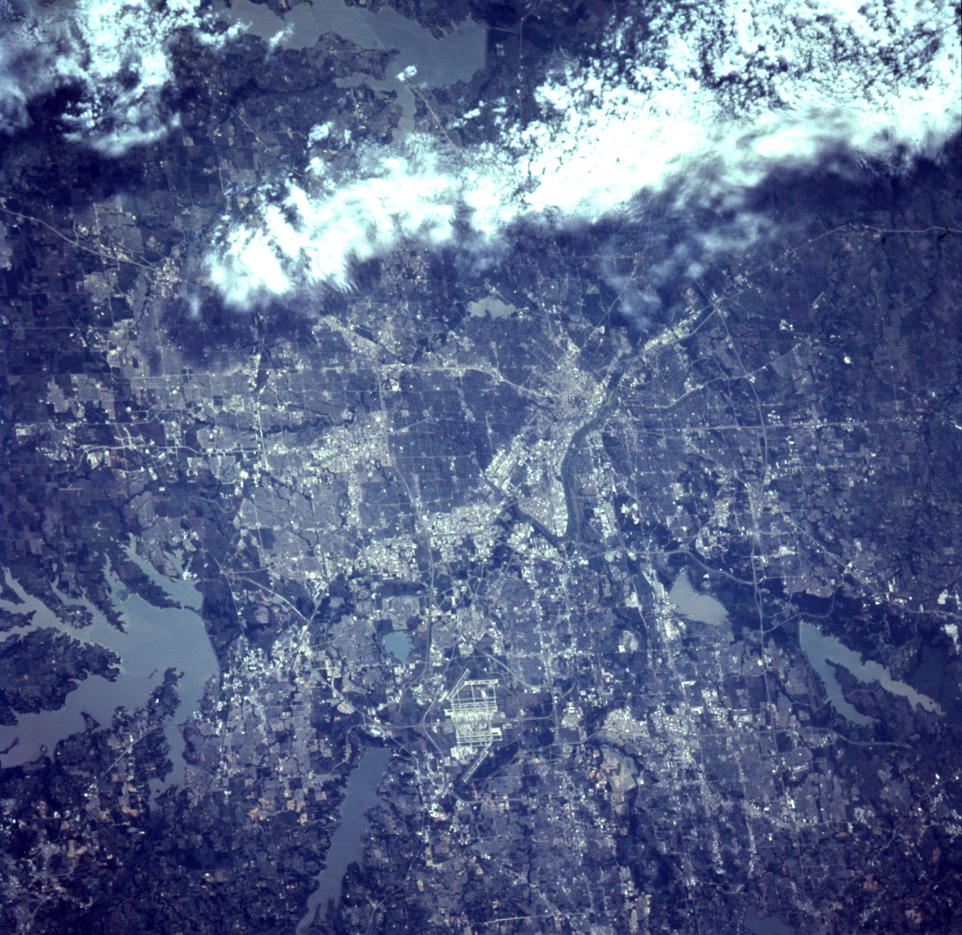
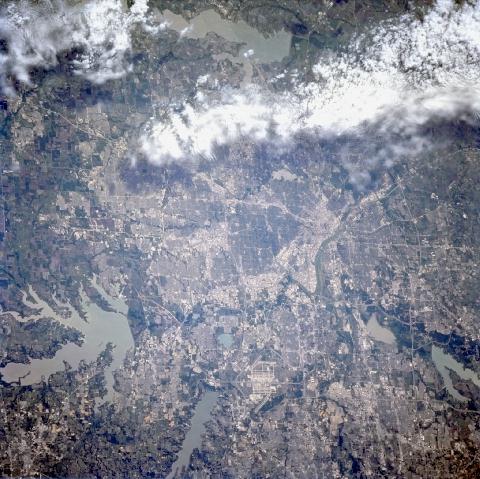
Spacecraft nadir point: 34.2° N, 97.6° W
Photo center point: 33.0° N, 97.0° W
Photo center point by machine learning:
Photo center point: 33.0° N, 97.0° W
Photo center point by machine learning:
Nadir to Photo Center: South
Spacecraft Altitude: 133 nautical miles (246km)
Camera: | Hasselblad |
Focal Length: | 250mm |
Camera Tilt: | 31 degrees |
Format: | 5069: Kodak Elite 100S, E6 Reversal, Replaces Lumiere, Warmer in tone vs. Lumiere |
Film Exposure: | Normal |
| Additional Information | |
| Width | Height | Annotated | Cropped | Purpose | Links |
|---|---|---|---|---|---|
| 4071 pixels | 4095 pixels | Cities collection | Download Image | ||
| 1087 pixels | 1056 pixels | No | No | Cities collection | Download Image |
| 4071 pixels | 4095 pixels | No | No | Download Image | |
| 763 pixels | 768 pixels | No | No | Download Image | |
| 480 pixels | 479 pixels | Download Image |
Download Packaged File
Download a Google Earth KML for this Image
View photo footprint information
Download a GeoTIFF for this photo
Image Caption: none
