STS088-707-67
| NASA Photo ID | STS088-707-67 |
| Focal Length | 250mm |
| Date taken | 1998.12.15 |
| Time taken | 22:42:19 GMT |
Resolutions offered for this image:
1028 x 1008 pixels 2050 x 2013 pixels 4102 x 4020 pixels 514 x 510 pixels
1028 x 1008 pixels 2050 x 2013 pixels 4102 x 4020 pixels 514 x 510 pixels


Cloud masks available for this image:
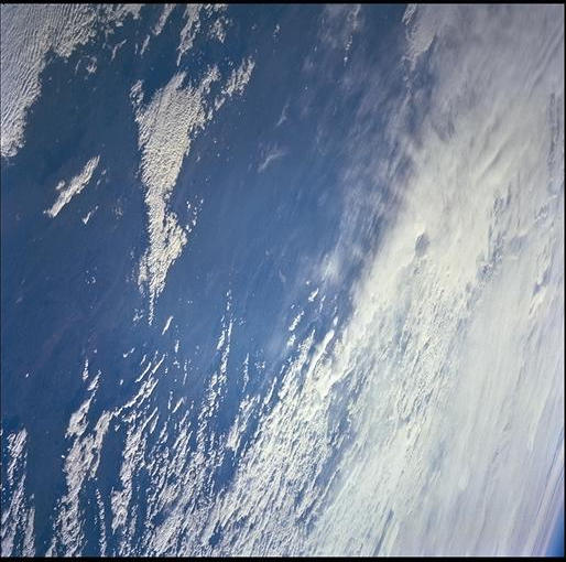
Spacecraft nadir point: 38.6° S, 65.6° W
Photo center point: 46.0° S, 71.0° W
Photo center point by machine learning:
Photo center point: 46.0° S, 71.0° W
Photo center point by machine learning:
Nadir to Photo Center: Southwest
Spacecraft Altitude: 210 nautical miles (389km)
Country or Geographic Name: | ARGENTINA |
Features: | PAN-LAKE BLANCO |
| Features Found Using Machine Learning: | |
Cloud Cover Percentage: | 75 (51-75)% |
Sun Elevation Angle: | 10° |
Sun Azimuth: | 248° |
Camera: | Hasselblad |
Focal Length: | 250mm |
Camera Tilt: | High Oblique |
Format: | 5069: Kodak Elite 100S, E6 Reversal, Replaces Lumiere, Warmer in tone vs. Lumiere |
Film Exposure: | |
| Additional Information | |
| Width | Height | Annotated | Cropped | Purpose | Links |
|---|---|---|---|---|---|
| 1028 pixels | 1008 pixels | No | No | Download Image | |
| 2050 pixels | 2013 pixels | No | No | Download Image | |
| 4102 pixels | 4020 pixels | No | No | Download Image | |
| 514 pixels | 510 pixels | No | No | Download Image |
Download Packaged File
Download a Google Earth KML for this Image
View photo footprint information
Download a GeoTIFF for this photo
Image Caption: none
