STS085-708-68
| NASA Photo ID | STS085-708-68 |
| Focal Length | 100mm |
| Date taken | 1997.08.10 |
| Time taken | 15:05:06 GMT |
Resolutions offered for this image:
4031 x 4085 pixels 631 x 640 pixels 5700 x 5900 pixels 483 x 500 pixels 512 x 513 pixels 479 x 475 pixels
4031 x 4085 pixels 631 x 640 pixels 5700 x 5900 pixels 483 x 500 pixels 512 x 513 pixels 479 x 475 pixels


Cloud masks available for this image:
Spacecraft nadir point: 31.2° N, 99.7° W
Photo center point: 32.5° N, 99.5° W
Photo center point by machine learning:
Photo center point: 32.5° N, 99.5° W
Photo center point by machine learning:
Nadir to Photo Center: North
Spacecraft Altitude: 157 nautical miles (291km)
Country or Geographic Name: | USA-TEXAS |
Features: | ABILENE |
| Features Found Using Machine Learning: | |
Cloud Cover Percentage: | 20 (11-25)% |
Sun Elevation Angle: | 38° |
Sun Azimuth: | 94° |
Camera: | Hasselblad |
Focal Length: | 100mm |
Camera Tilt: | 27 degrees |
Format: | 5069: Kodak Elite 100S, E6 Reversal, Replaces Lumiere, Warmer in tone vs. Lumiere |
Film Exposure: | Normal |
| Additional Information | |
| Width | Height | Annotated | Cropped | Purpose | Links |
|---|---|---|---|---|---|
| 4031 pixels | 4085 pixels | No | No | Earth From Space collection | Download Image |
| 631 pixels | 640 pixels | No | No | Earth From Space collection | Download Image |
| 5700 pixels | 5900 pixels | No | No | Download Image | |
| 483 pixels | 500 pixels | No | No | Download Image | |
| 512 pixels | 513 pixels | No | No | Download Image | |
| 479 pixels | 475 pixels | Download Image |
Download Packaged File
Download a Google Earth KML for this Image
View photo footprint information
Download a GeoTIFF for this photo
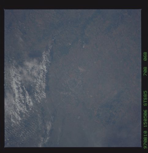
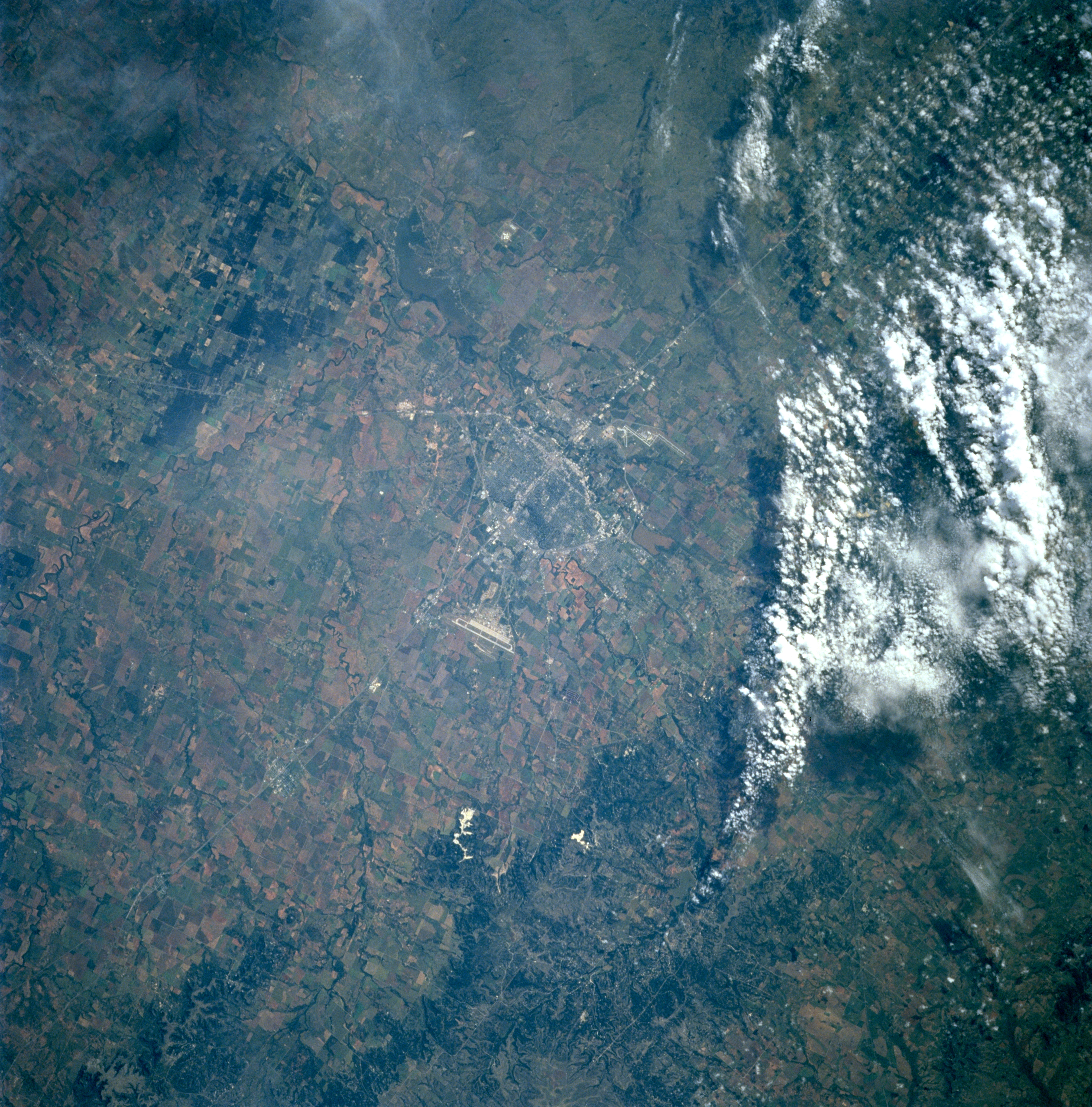
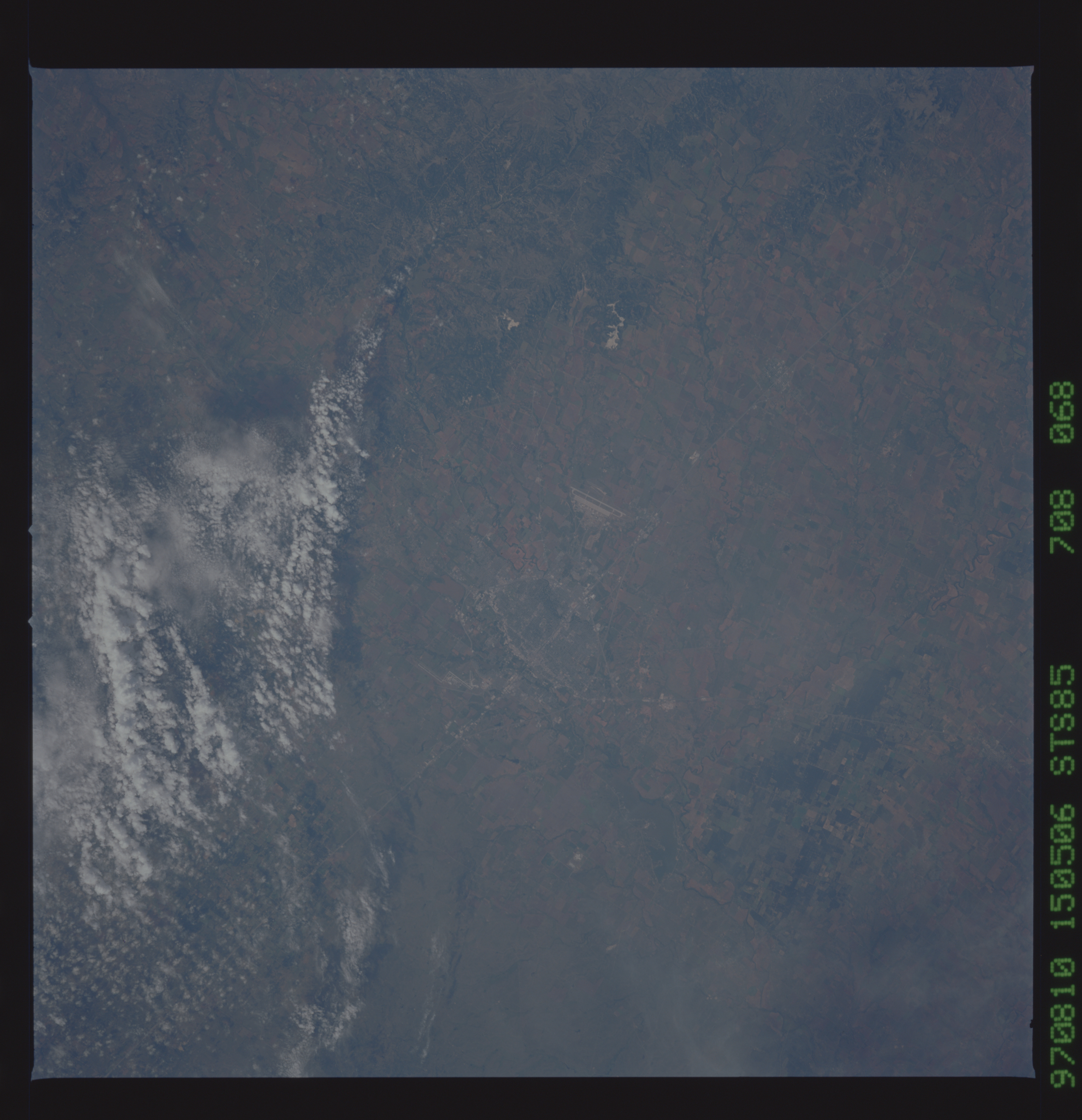
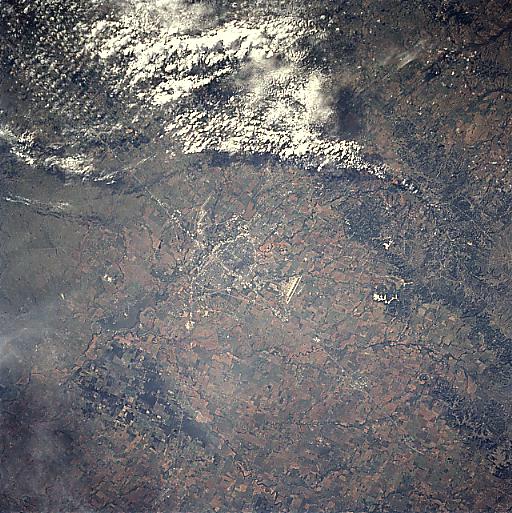
Image Caption: STS085-708-068 Abilene, Texas August, 1997
This southeast-looking view shows the city of Abilene, Texas. Abilene grew as a shipping point for cattle ranches and is now the financial, commercial, and educational center of a large part of west Texas. The city has a diversified economy, which includes manufacturing, retail trade, farming and ranching, and petroleum. Abilene is the home of Dyess Air Force Base, the major runway for which is visible just to the right of the center of the image (west of the city). The runways of Abilene Regional Airport are discernible to the southeast of the city (step-like pair of light lines). Barely discernible to the north of the city is a small reservoir.
This southeast-looking view shows the city of Abilene, Texas. Abilene grew as a shipping point for cattle ranches and is now the financial, commercial, and educational center of a large part of west Texas. The city has a diversified economy, which includes manufacturing, retail trade, farming and ranching, and petroleum. Abilene is the home of Dyess Air Force Base, the major runway for which is visible just to the right of the center of the image (west of the city). The runways of Abilene Regional Airport are discernible to the southeast of the city (step-like pair of light lines). Barely discernible to the north of the city is a small reservoir.
