STS085-707-64

| NASA Photo ID | STS085-707-64 |
| Focal Length | 100mm |
| Date taken | 1997.08.10 |
| Time taken | 18:14:27 GMT |
Resolutions offered for this image:
4080 x 4085 pixels 639 x 640 pixels 5700 x 5900 pixels 483 x 500 pixels 518 x 511 pixels 480 x 479 pixels
4080 x 4085 pixels 639 x 640 pixels 5700 x 5900 pixels 483 x 500 pixels 518 x 511 pixels 480 x 479 pixels

Cloud masks available for this image:
Spacecraft nadir point: 53.3° N, 110.8° W
Photo center point: 53.5° N, 113.5° W
Photo center point by machine learning:
Photo center point: 53.5° N, 113.5° W
Photo center point by machine learning:
Nadir to Photo Center: West
Spacecraft Altitude: 157 nautical miles (291km)
Country or Geographic Name: | CANADA-A |
Features: | EDMONTON |
| Features Found Using Machine Learning: | |
Cloud Cover Percentage: | 0 (no clouds present) |
Sun Elevation Angle: | 50° |
Sun Azimuth: | 152° |
Camera: | Hasselblad |
Focal Length: | 100mm |
Camera Tilt: | 46 degrees |
Format: | 5069: Kodak Elite 100S, E6 Reversal, Replaces Lumiere, Warmer in tone vs. Lumiere |
Film Exposure: | Normal |
| Additional Information | |
| Width | Height | Annotated | Cropped | Purpose | Links |
|---|---|---|---|---|---|
| 4080 pixels | 4085 pixels | No | No | Earth From Space collection | Download Image |
| 639 pixels | 640 pixels | No | No | Earth From Space collection | Download Image |
| 5700 pixels | 5900 pixels | No | No | Download Image | |
| 483 pixels | 500 pixels | No | No | Download Image | |
| 518 pixels | 511 pixels | No | No | Download Image | |
| 480 pixels | 479 pixels | Download Image |
Download Packaged File
Download a Google Earth KML for this Image
View photo footprint information
Download a GeoTIFF for this photo
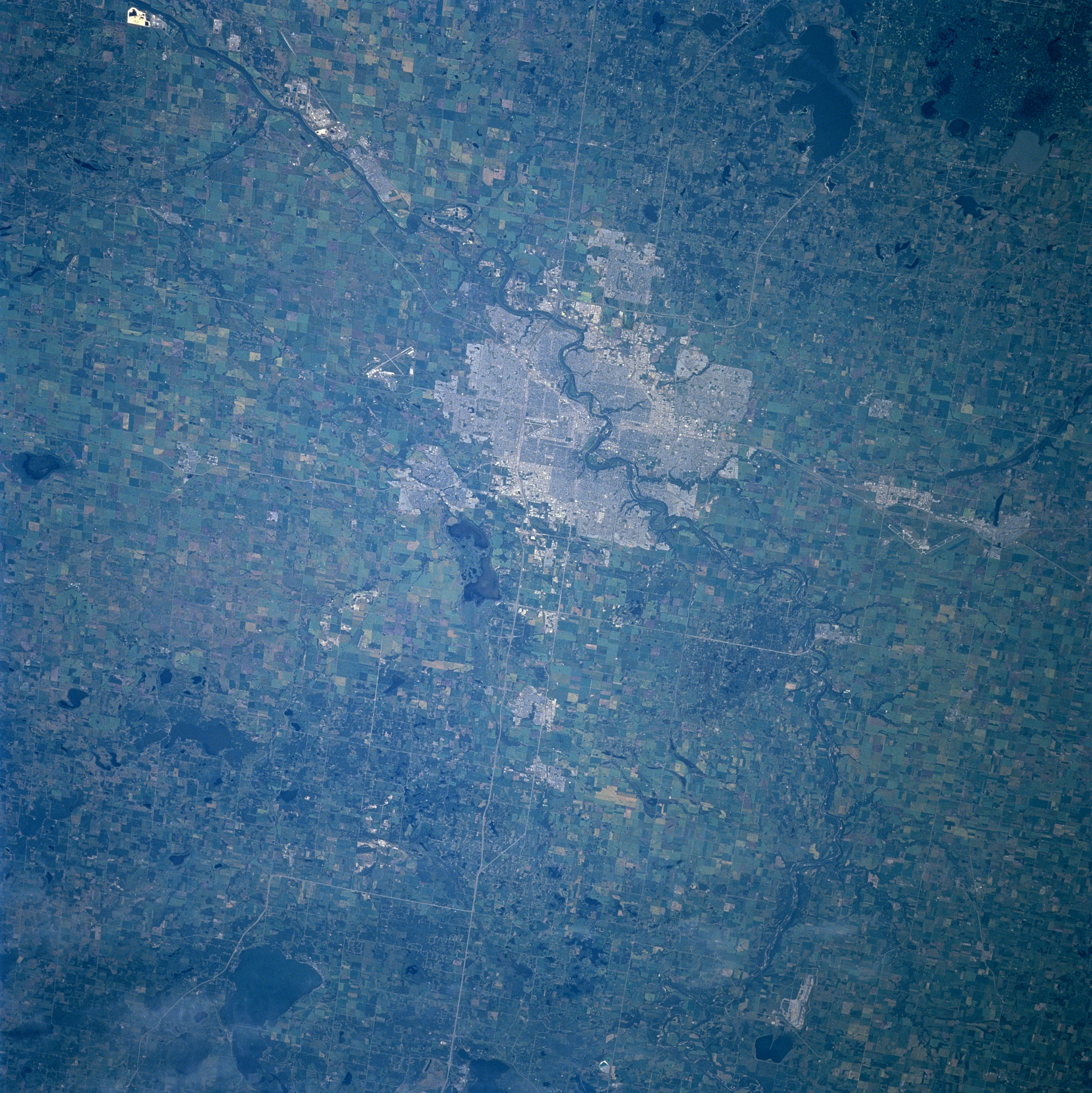
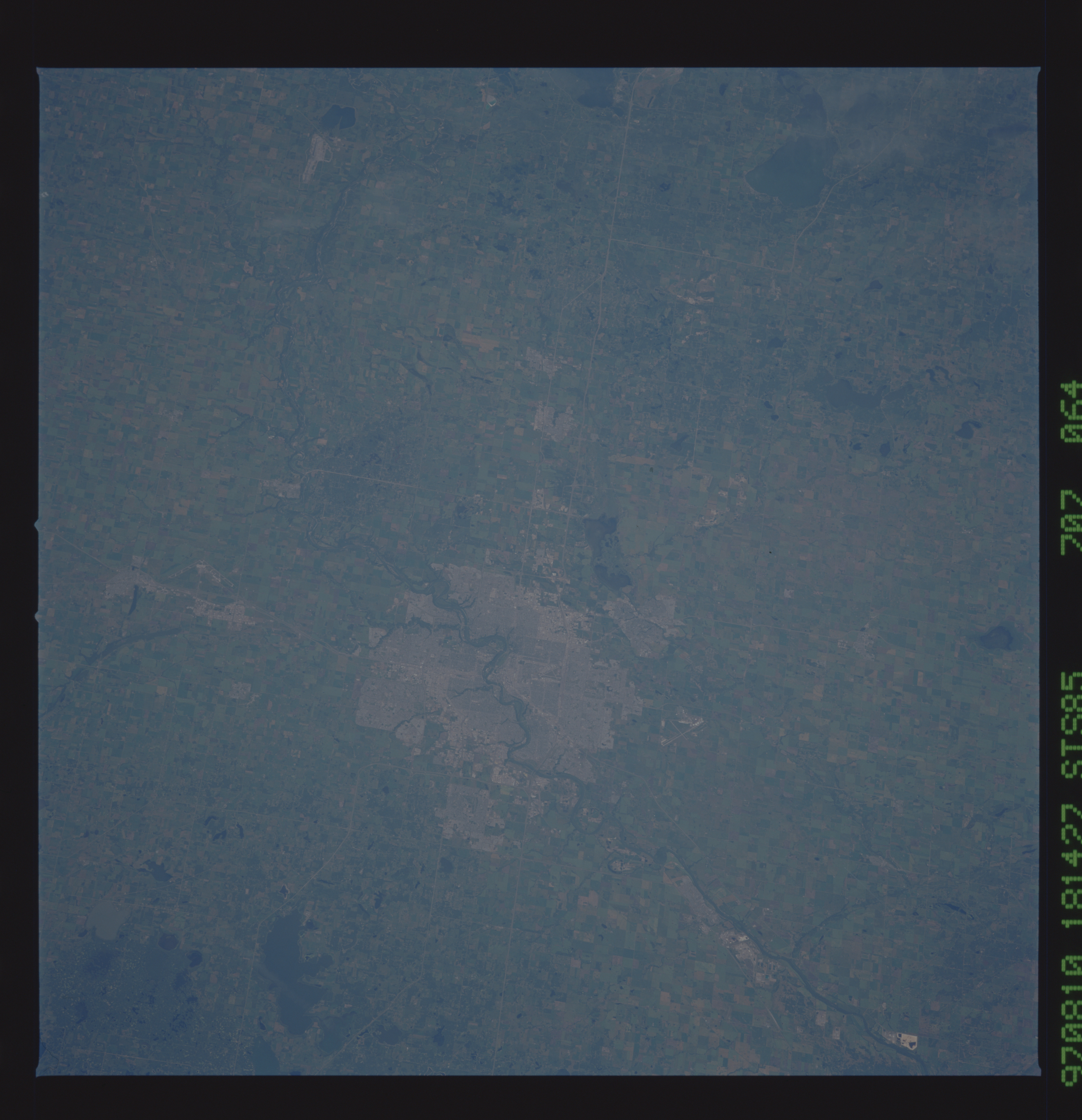
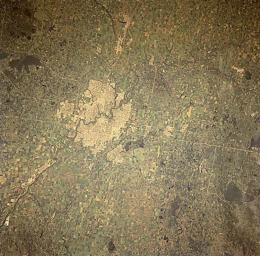
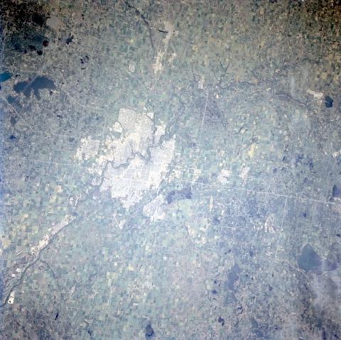
Image Caption: STS085-707-064 Edmonton, Alberta, Canada August 1997
Edmonton is the capital of Alberta and home of the West Edmonton Mall (reported to be the largest shopping mall in the world). In this view, the city is located near the center of the image, and is surrounded by large agricultural developments. The northeasterly flowing North Saskatchewan River cuts right through the center of the city. Canadian Highway 16 (light-colored, linear feature) is the major east-west roadway that passes through the northern section of Edmonton. Numerous lakes (darker, irregular shaped features) of various sizes can also be seen throughout the landscape.
Edmonton is the capital of Alberta and home of the West Edmonton Mall (reported to be the largest shopping mall in the world). In this view, the city is located near the center of the image, and is surrounded by large agricultural developments. The northeasterly flowing North Saskatchewan River cuts right through the center of the city. Canadian Highway 16 (light-colored, linear feature) is the major east-west roadway that passes through the northern section of Edmonton. Numerous lakes (darker, irregular shaped features) of various sizes can also be seen throughout the landscape.
