STS085-501-139
| NASA Photo ID | STS085-501-139 |
| Focal Length | 250mm |
| Date taken | 1997.08.13 |
| Time taken | 15:32:58 GMT |
Resolutions offered for this image:
5217 x 4090 pixels 639 x 501 pixels 611 x 480 pixels 479 x 379 pixels
5217 x 4090 pixels 639 x 501 pixels 611 x 480 pixels 479 x 379 pixels
Cloud masks available for this image:
Spacecraft nadir point: 57.0° N, 63.7° W
Photo center point: 58.0° N, 65.5° W
Photo center point by machine learning:
Photo center point: 58.0° N, 65.5° W
Photo center point by machine learning:
Nadir to Photo Center: Northwest
Spacecraft Altitude: 155 nautical miles (287km)
Country or Geographic Name: | CANADA-Q |
Features: | GEORGE RIVER, LAKES |
| Features Found Using Machine Learning: | |
Cloud Cover Percentage: | 5 (1-10)% |
Sun Elevation Angle: | 47° |
Sun Azimuth: | 163° |
Camera: | Linhof |
Focal Length: | 250mm |
Camera Tilt: | 39 degrees |
Format: | 5046: Kodak, natural color positive, Lumiere 100/5046, ASA 100, standard base |
Film Exposure: | Normal |
| Additional Information | |
| Width | Height | Annotated | Cropped | Purpose | Links |
|---|---|---|---|---|---|
| 5217 pixels | 4090 pixels | No | No | Earth From Space collection | Download Image |
| 639 pixels | 501 pixels | No | No | Earth From Space collection | Download Image |
| 611 pixels | 480 pixels | No | No | Download Image | |
| 479 pixels | 379 pixels | Download Image |
Download Packaged File
Download a Google Earth KML for this Image
View photo footprint information
Download a GeoTIFF for this photo
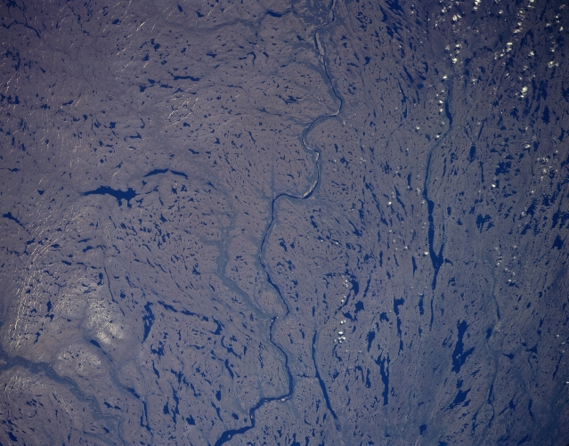
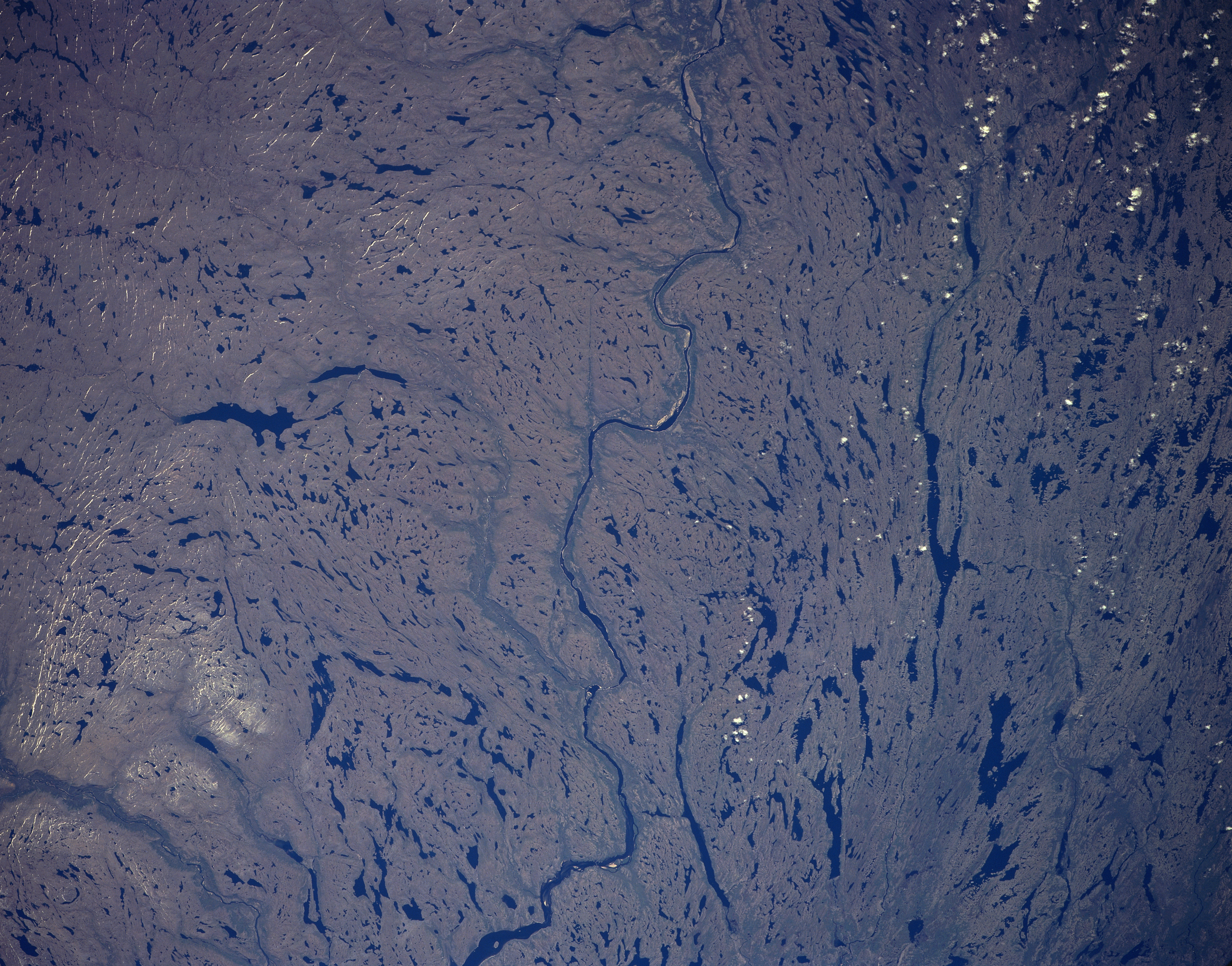
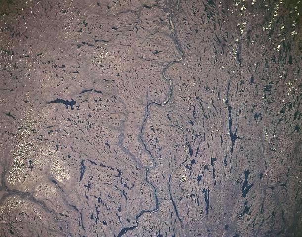
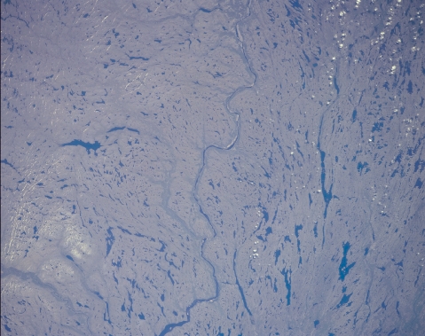
Image Caption: STS085-501-139 George River, Quebec, Canada August 1997 The northward flowing George River is located southeast of Ungava Bay in extreme northeast Quebec. The George River winds through a glaciated wilderness that consists of low hills and a multitude of lakes (dark features of various sizes and shapes). Continental icesheets scoured the terrain thereby producing depressions that have subsequently filled with water which appear as numerous dark lakes. Shallow soils, bare rock surfaces, and year round cold temperature produce sparse vegetation throughout the region. Although rapids break the course of the George River, many adventurous canoeists have traversed the river all the way north to the estuary that empties into Ungava Bay.
