STS081-724-66

| NASA Photo ID | STS081-724-66 |
| Focal Length | 250mm |
| Date taken | 1997.01.__ |
| Time taken | GMT |
Resolutions offered for this image:
4057 x 4057 pixels 640 x 640 pixels 5700 x 5900 pixels 483 x 500 pixels
4057 x 4057 pixels 640 x 640 pixels 5700 x 5900 pixels 483 x 500 pixels

Cloud masks available for this image:
Spacecraft nadir point:
Photo center point: 40.5° S, 64.0° W
Photo center point by machine learning:
Photo center point: 40.5° S, 64.0° W
Photo center point by machine learning:
Nadir to Photo Center:
Spacecraft Altitude: nautical miles (0km)
Country or Geographic Name: | ARGENTINA |
Features: | MOUTH OF RIO NEGRO |
| Features Found Using Machine Learning: | |
Cloud Cover Percentage: | 0 (no clouds present) |
Sun Elevation Angle: | ° |
Sun Azimuth: | ° |
Camera: | Hasselblad |
Focal Length: | 250mm |
Camera Tilt: | |
Format: | 5046: Kodak, natural color positive, Lumiere 100/5046, ASA 100, standard base |
Film Exposure: | Normal |
| Additional Information | |
| Width | Height | Annotated | Cropped | Purpose | Links |
|---|---|---|---|---|---|
| 4057 pixels | 4057 pixels | No | No | Earth From Space collection | Download Image |
| 640 pixels | 640 pixels | No | No | Earth From Space collection | Download Image |
| 5700 pixels | 5900 pixels | No | No | Download Image | |
| 483 pixels | 500 pixels | No | No | Download Image |
Download Packaged File
Download a Google Earth KML for this Image
View photo footprint information
Download a GeoTIFF for this photo
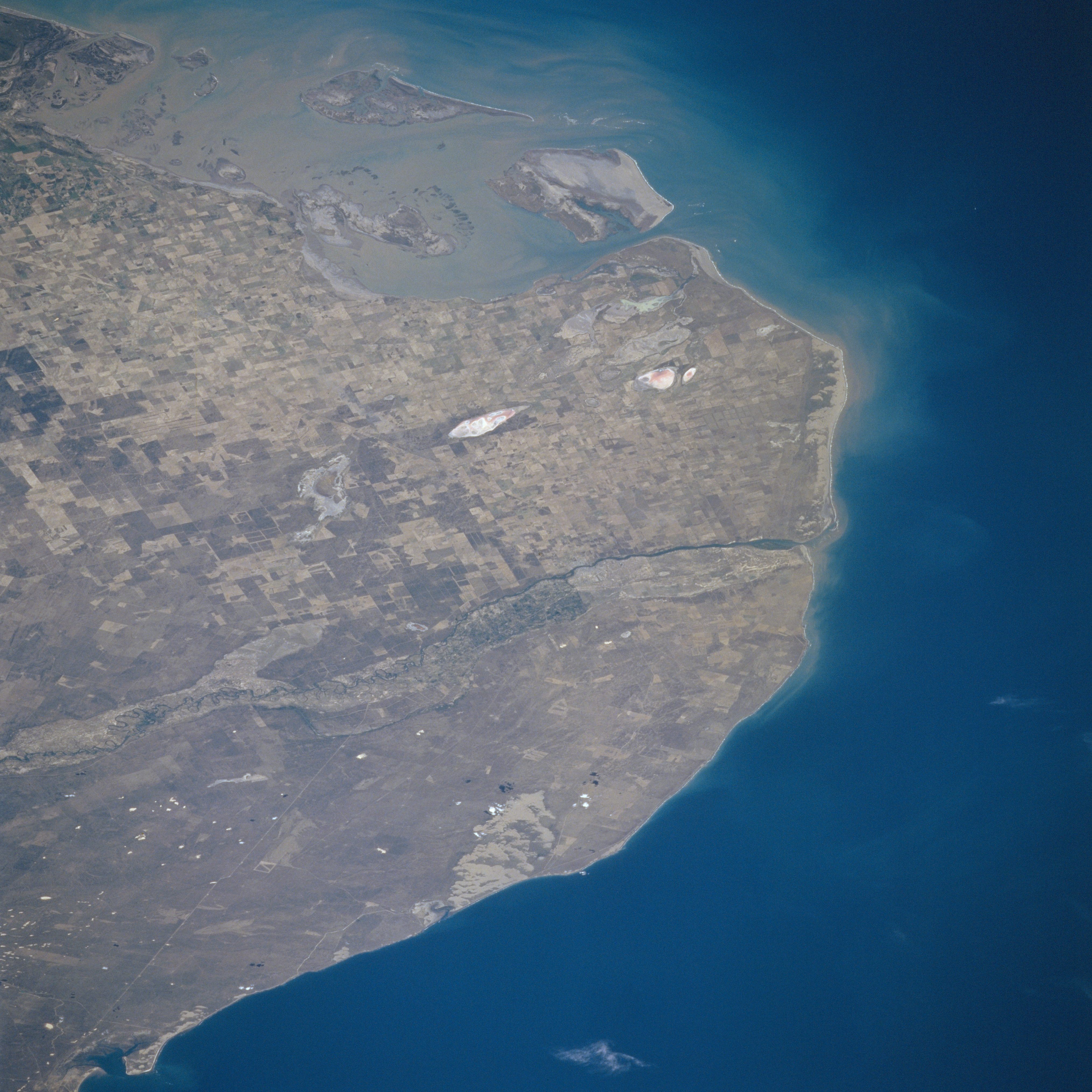
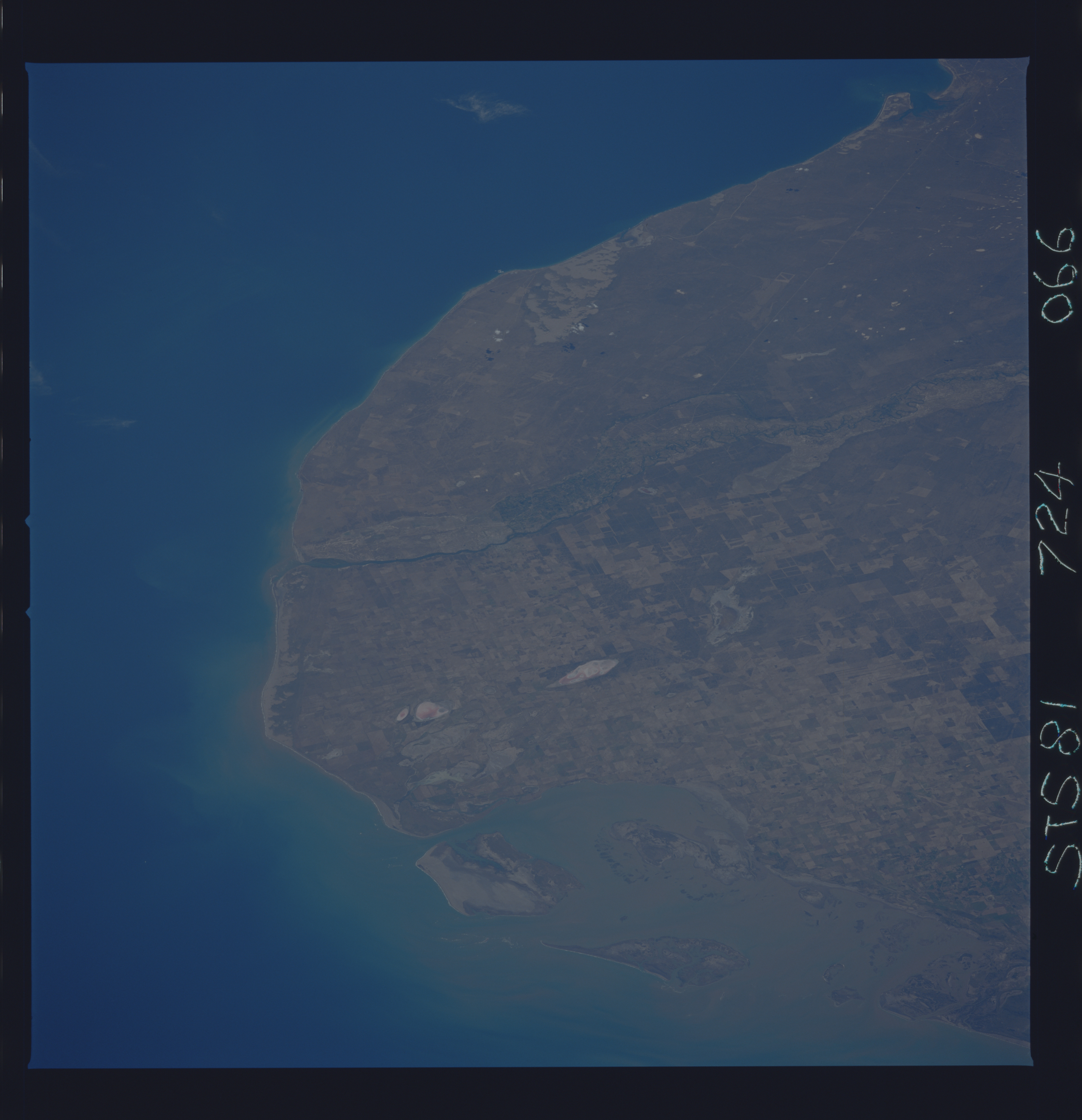
Image Caption: STS081-724-066 The Rio Negro, Argentina January 1997
Situated between Point Rasa to the east and Point Bermeja to the west, lies the mouth of the Rio Negro (midway between the center and right center of the image). The Rio Negro, 400 miles (645 km) long, is formed in central Argentina by the confluence of the Neuquen and Limay Rivers (not visible on the image) and flows generally eastward to the Atlantic Ocean. The river is used extensively for irrigation due to its location in the extreme southern pampas agricultural area of Argentina. As seen on the image, little sediment from the waters of the Rio Negro reaches its Atlantic Ocean mouth. At the upper left and upper center of the image, sediment from the Colorado River mouth is visible. Along the bottom left to bottom center, the waters of the northern portions of San Matias Gulf can be seen.
Situated between Point Rasa to the east and Point Bermeja to the west, lies the mouth of the Rio Negro (midway between the center and right center of the image). The Rio Negro, 400 miles (645 km) long, is formed in central Argentina by the confluence of the Neuquen and Limay Rivers (not visible on the image) and flows generally eastward to the Atlantic Ocean. The river is used extensively for irrigation due to its location in the extreme southern pampas agricultural area of Argentina. As seen on the image, little sediment from the waters of the Rio Negro reaches its Atlantic Ocean mouth. At the upper left and upper center of the image, sediment from the Colorado River mouth is visible. Along the bottom left to bottom center, the waters of the northern portions of San Matias Gulf can be seen.
