STS080-733-21
| NASA Photo ID | STS080-733-21 |
| Focal Length | 250mm |
| Date taken | 1996.11.30 |
| Time taken | 05:50:05 GMT |
Resolutions offered for this image:
3946 x 4028 pixels 626 x 640 pixels 5700 x 5900 pixels 483 x 500 pixels 4000 x 3812 pixels 639 x 609 pixels 652 x 639 pixels
3946 x 4028 pixels 626 x 640 pixels 5700 x 5900 pixels 483 x 500 pixels 4000 x 3812 pixels 639 x 609 pixels 652 x 639 pixels


Cloud masks available for this image:
Spacecraft nadir point: 28.6° N, 46.6° E
Photo center point: 29.5° N, 48.0° E
Photo center point by machine learning:
Photo center point: 29.5° N, 48.0° E
Photo center point by machine learning:
Nadir to Photo Center: Northeast
Spacecraft Altitude: 185 nautical miles (343km)
Country or Geographic Name: | KUWAIT |
Features: | KUWAIT CITY, OIL FIELD |
| Features Found Using Machine Learning: | |
Cloud Cover Percentage: | 0 (no clouds present) |
Sun Elevation Angle: | 25° |
Sun Azimuth: | 136° |
Camera: | Hasselblad |
Focal Length: | 250mm |
Camera Tilt: | 28 degrees |
Format: | 5046: Kodak, natural color positive, Lumiere 100/5046, ASA 100, standard base |
Film Exposure: | Normal |
| Additional Information | |
| Width | Height | Annotated | Cropped | Purpose | Links |
|---|---|---|---|---|---|
| 3946 pixels | 4028 pixels | No | No | Earth From Space collection | Download Image |
| 626 pixels | 640 pixels | No | No | Earth From Space collection | Download Image |
| 5700 pixels | 5900 pixels | No | No | Download Image | |
| 483 pixels | 500 pixels | No | No | Download Image | |
| 4000 pixels | 3812 pixels | Download Image | |||
| 639 pixels | 609 pixels | Download Image | |||
| 652 pixels | 639 pixels | No | No | Download Image |
Download Packaged File
Download a Google Earth KML for this Image
View photo footprint information
Download a GeoTIFF for this photo
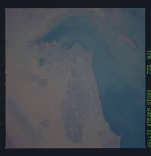
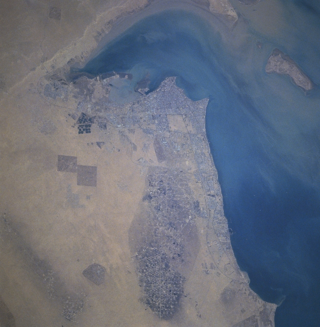
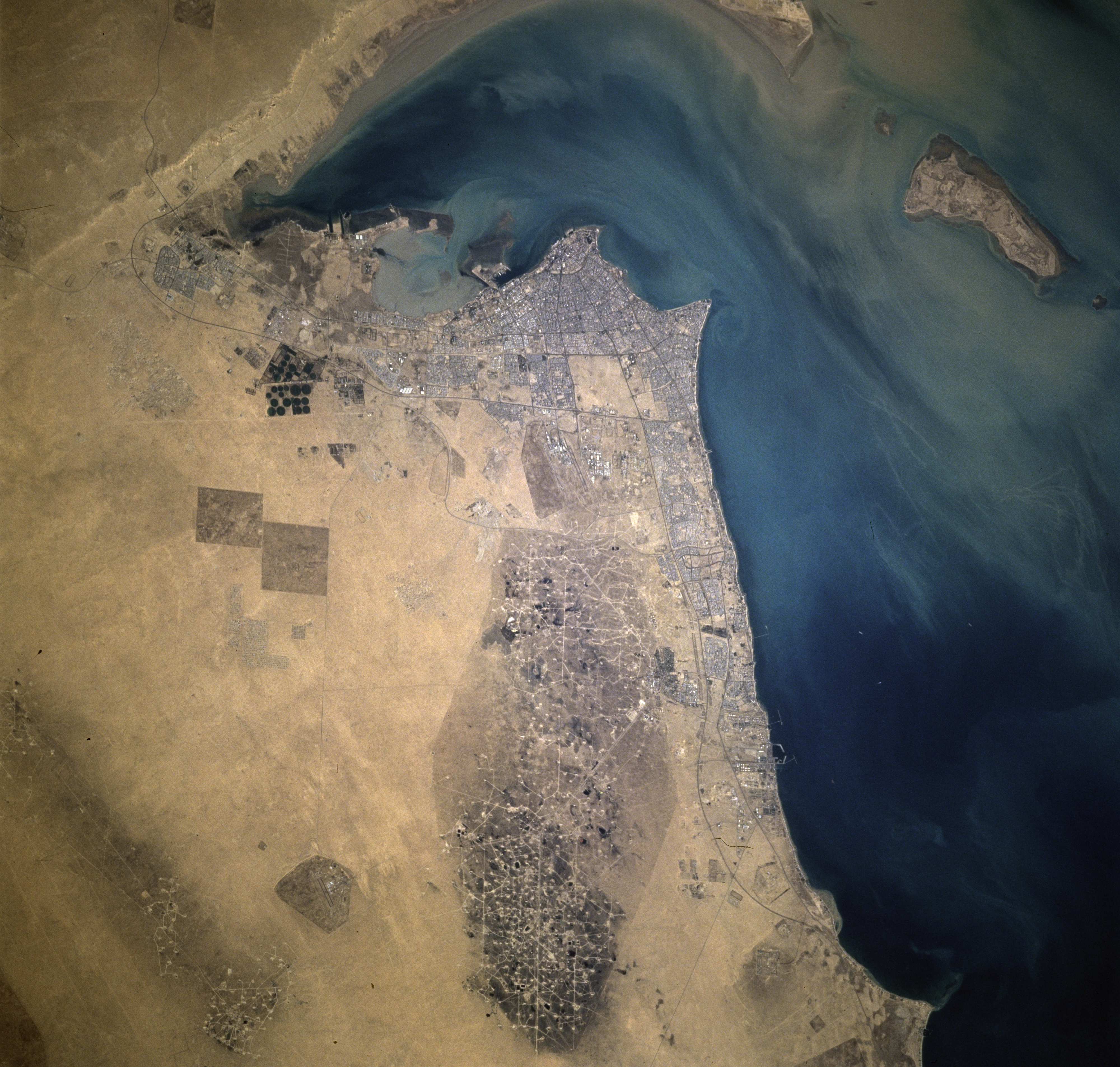
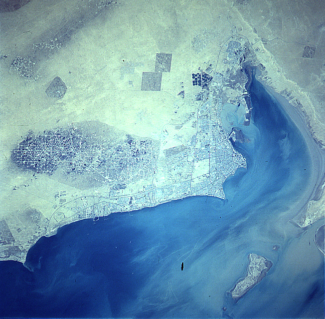
Image Caption: STS080-733-021 Kuwait City, Al Burqan Oil Field, Kuwait November 1996
The Al Burqan Oil Field, the largest oil and gas field in the world, can be seen in this north-looking view. The oil-free desert sands are visible surrounding the large oil field complex. This was the site in early 1991 of over 530 oil well fires started by the invading Iraqi troops and engineers as part of their country's "scorched-earth policy." The oil well fires were distinguished in November of 1991. Five years later, pools or lakes of oil are visible throughout the oil field. Many of the wells have been put back into service. The country of Kuwait possesses about one-fifth of the world's oil reserves. To the north of the Al Burqan Oil Field, Kuwait City is discernible. New pivot-irrigation fields (dark circular features) developed since the end of the Gulf War are visible to the west (left) of the city. Oil refineries and large tanker facilities are discernible along the Persian Gulf coast.
The Al Burqan Oil Field, the largest oil and gas field in the world, can be seen in this north-looking view. The oil-free desert sands are visible surrounding the large oil field complex. This was the site in early 1991 of over 530 oil well fires started by the invading Iraqi troops and engineers as part of their country's "scorched-earth policy." The oil well fires were distinguished in November of 1991. Five years later, pools or lakes of oil are visible throughout the oil field. Many of the wells have been put back into service. The country of Kuwait possesses about one-fifth of the world's oil reserves. To the north of the Al Burqan Oil Field, Kuwait City is discernible. New pivot-irrigation fields (dark circular features) developed since the end of the Gulf War are visible to the west (left) of the city. Oil refineries and large tanker facilities are discernible along the Persian Gulf coast.
