STS080-706-8
| NASA Photo ID | STS080-706-8 |
| Focal Length | 250mm |
| Date taken | 1996.11.23 |
| Time taken | 21:35:35 GMT |
Resolutions offered for this image:
4048 x 4054 pixels 639 x 640 pixels 5700 x 5900 pixels 483 x 500 pixels
4048 x 4054 pixels 639 x 640 pixels 5700 x 5900 pixels 483 x 500 pixels
Cloud masks available for this image:
Spacecraft nadir point: 26.3° N, 112.9° W
Photo center point: 27.0° N, 113.5° W
Photo center point by machine learning:
Photo center point: 27.0° N, 113.5° W
Photo center point by machine learning:
Nadir to Photo Center: Northwest
Spacecraft Altitude: 191 nautical miles (354km)
Country or Geographic Name: | MEXICO |
Features: | SIERRA SANTA CLARA, COAST |
| Features Found Using Machine Learning: | |
Cloud Cover Percentage: | 0 (no clouds present) |
Sun Elevation Angle: | 33° |
Sun Azimuth: | 219° |
Camera: | Hasselblad |
Focal Length: | 250mm |
Camera Tilt: | 16 degrees |
Format: | 5046: Kodak, natural color positive, Lumiere 100/5046, ASA 100, standard base |
Film Exposure: | Normal |
| Additional Information | |
| Width | Height | Annotated | Cropped | Purpose | Links |
|---|---|---|---|---|---|
| 4048 pixels | 4054 pixels | No | No | Earth From Space collection | Download Image |
| 639 pixels | 640 pixels | No | No | Earth From Space collection | Download Image |
| 5700 pixels | 5900 pixels | No | No | Download Image | |
| 483 pixels | 500 pixels | No | No | Download Image |
Download Packaged File
Download a Google Earth KML for this Image
View photo footprint information
Download a GeoTIFF for this photo
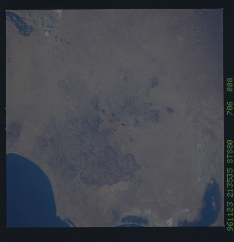
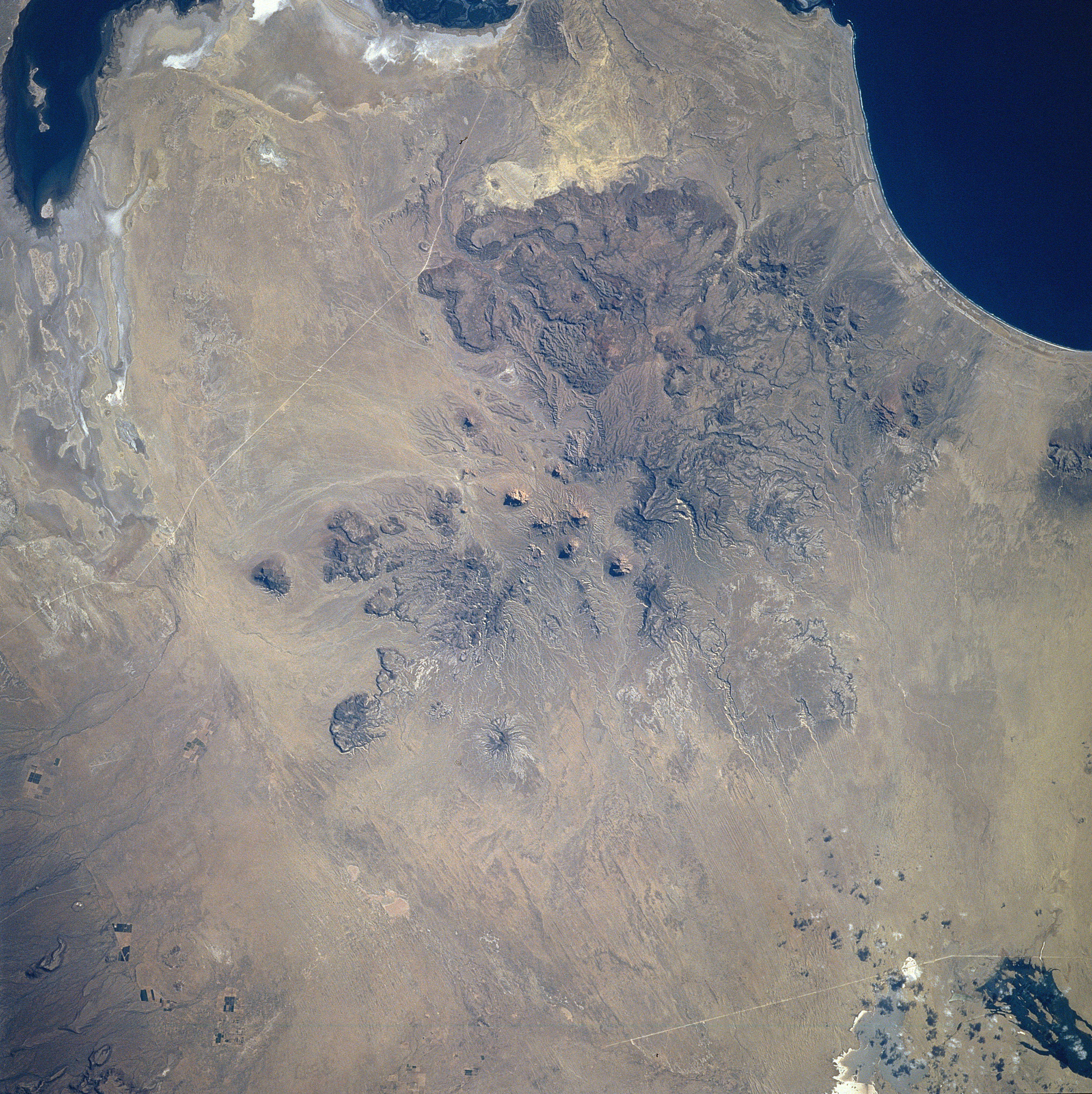
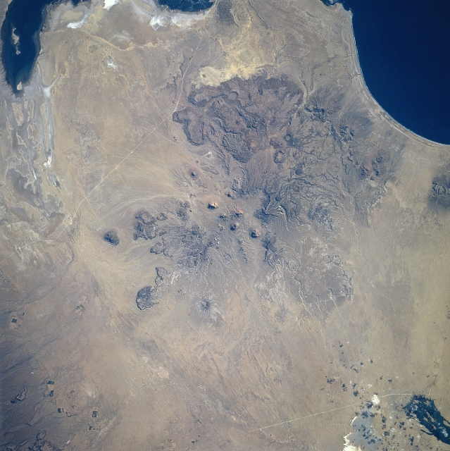
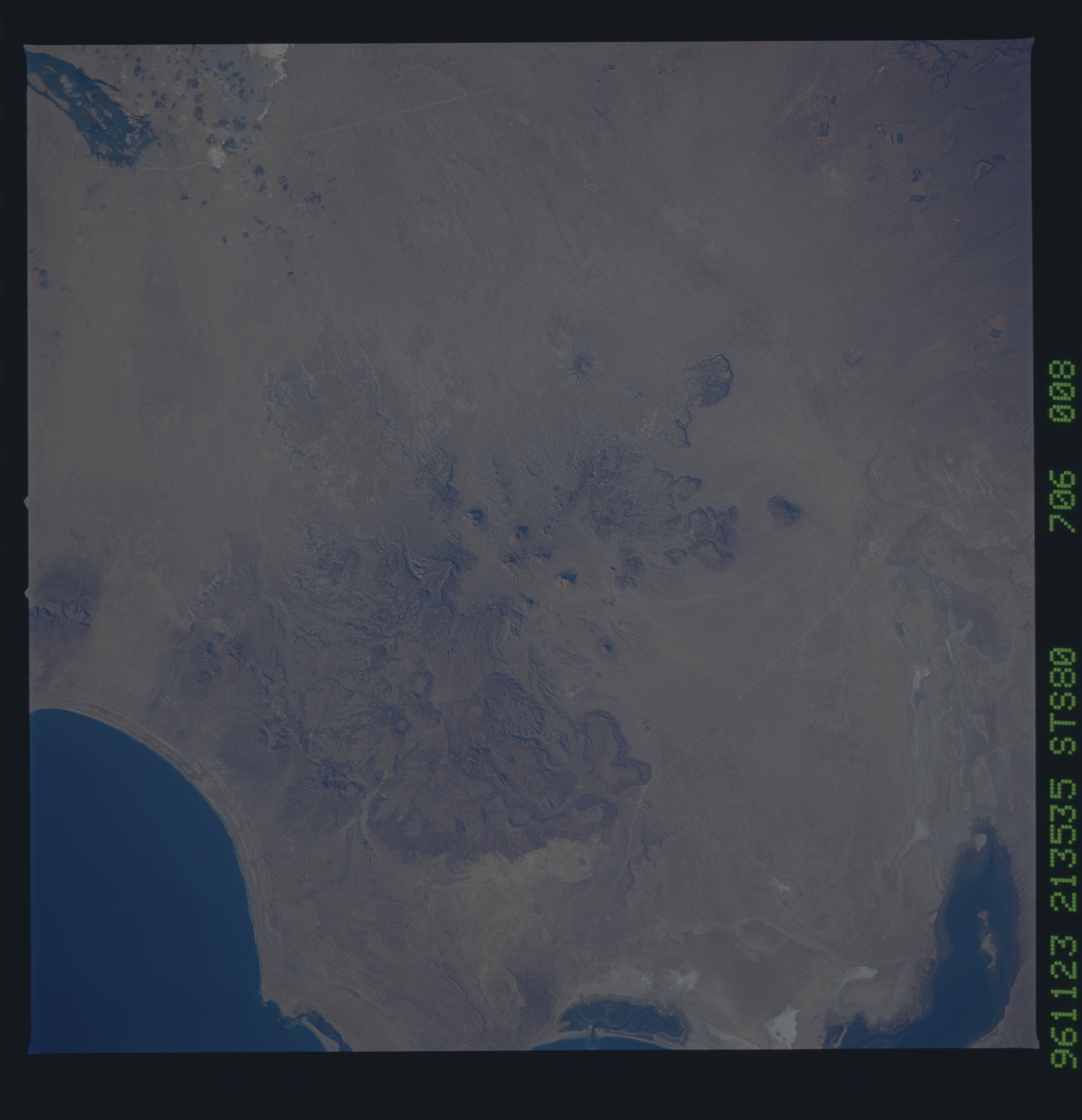
Image Caption: STS080-706-008 Baja California, Mexico November 1996
Several large areas of volcanic activity, forming plateau-like features, are easily identified along the west coast of Baja California. The geologic structure in the center of the image is an old, severely eroded volcano, which is the southernmost feature of the Sierra Viscaino (also known as the Sierra Santa Clara). The center of the eroded caldera is visible almost exactly in the middle of the picture. More resistant large lava-formed lobes can be seen immediately south of the old caldera. The dark feature southeast of the volcano (upper left corner) is the northern end of Laguna San Ignacio, while the dark feature in the upper right corner of the image is Bahia San Hipolito. The light colored lines traversing this arid environment are roads that connect the coastal areas with the main highway that extends northwest to southeast throughout the Baja California peninsula.
Several large areas of volcanic activity, forming plateau-like features, are easily identified along the west coast of Baja California. The geologic structure in the center of the image is an old, severely eroded volcano, which is the southernmost feature of the Sierra Viscaino (also known as the Sierra Santa Clara). The center of the eroded caldera is visible almost exactly in the middle of the picture. More resistant large lava-formed lobes can be seen immediately south of the old caldera. The dark feature southeast of the volcano (upper left corner) is the northern end of Laguna San Ignacio, while the dark feature in the upper right corner of the image is Bahia San Hipolito. The light colored lines traversing this arid environment are roads that connect the coastal areas with the main highway that extends northwest to southeast throughout the Baja California peninsula.
