STS079-818-25

| NASA Photo ID | STS079-818-25 |
| Focal Length | 100mm |
| Date taken | 1996.09.22 |
| Time taken | 03:48:57 GMT |
Resolutions offered for this image:
4096 x 4055 pixels 640 x 633 pixels 5700 x 5900 pixels 483 x 500 pixels 1280 x 1285 pixels 5122 x 5141 pixels 2432 x 2495 pixels 616 x 624 pixels
4096 x 4055 pixels 640 x 633 pixels 5700 x 5900 pixels 483 x 500 pixels 1280 x 1285 pixels 5122 x 5141 pixels 2432 x 2495 pixels 616 x 624 pixels


Cloud masks available for this image:
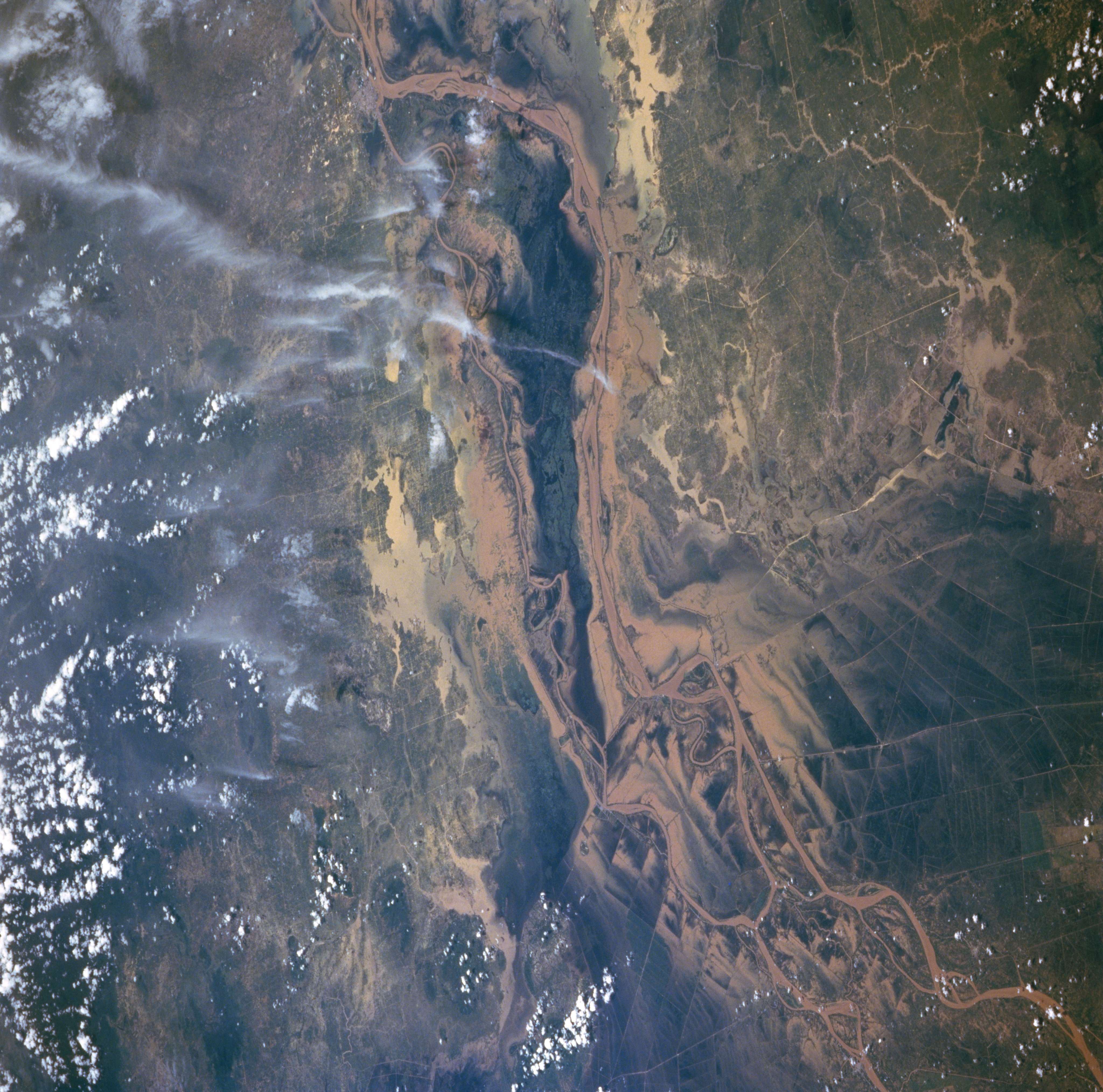
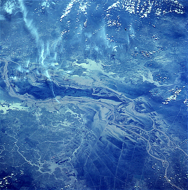
Spacecraft nadir point: 10.0° N, 109.0° E
Photo center point: 10.5° N, 105.5° E
Photo center point by machine learning:
Photo center point: 10.5° N, 105.5° E
Photo center point by machine learning:
Nadir to Photo Center: West
Spacecraft Altitude: 203 nautical miles (376km)
Country or Geographic Name: | VIETNAM |
Features: | MEKONG, RICE FIELDS |
| Features Found Using Machine Learning: | |
Cloud Cover Percentage: | 10 (1-10)% |
Sun Elevation Angle: | 75° |
Sun Azimuth: | 128° |
Camera: | Hasselblad |
Focal Length: | 100mm |
Camera Tilt: | 46 degrees |
Format: | 5046: Kodak, natural color positive, Lumiere 100/5046, ASA 100, standard base |
Film Exposure: | Normal |
| Additional Information | |
| Width | Height | Annotated | Cropped | Purpose | Links |
|---|---|---|---|---|---|
| 4096 pixels | 4055 pixels | No | No | Earth From Space collection | Download Image |
| 640 pixels | 633 pixels | No | No | Earth From Space collection | Download Image |
| 5700 pixels | 5900 pixels | No | No | Download Image | |
| 483 pixels | 500 pixels | No | No | Download Image | |
| 1280 pixels | 1285 pixels | No | No | Download Image | |
| 5122 pixels | 5141 pixels | Download Image | |||
| 2432 pixels | 2495 pixels | Download Image | |||
| 616 pixels | 624 pixels | No | No | Download Image |
Download Packaged File
Download a Google Earth KML for this Image
View photo footprint information
Download a GeoTIFF for this photo
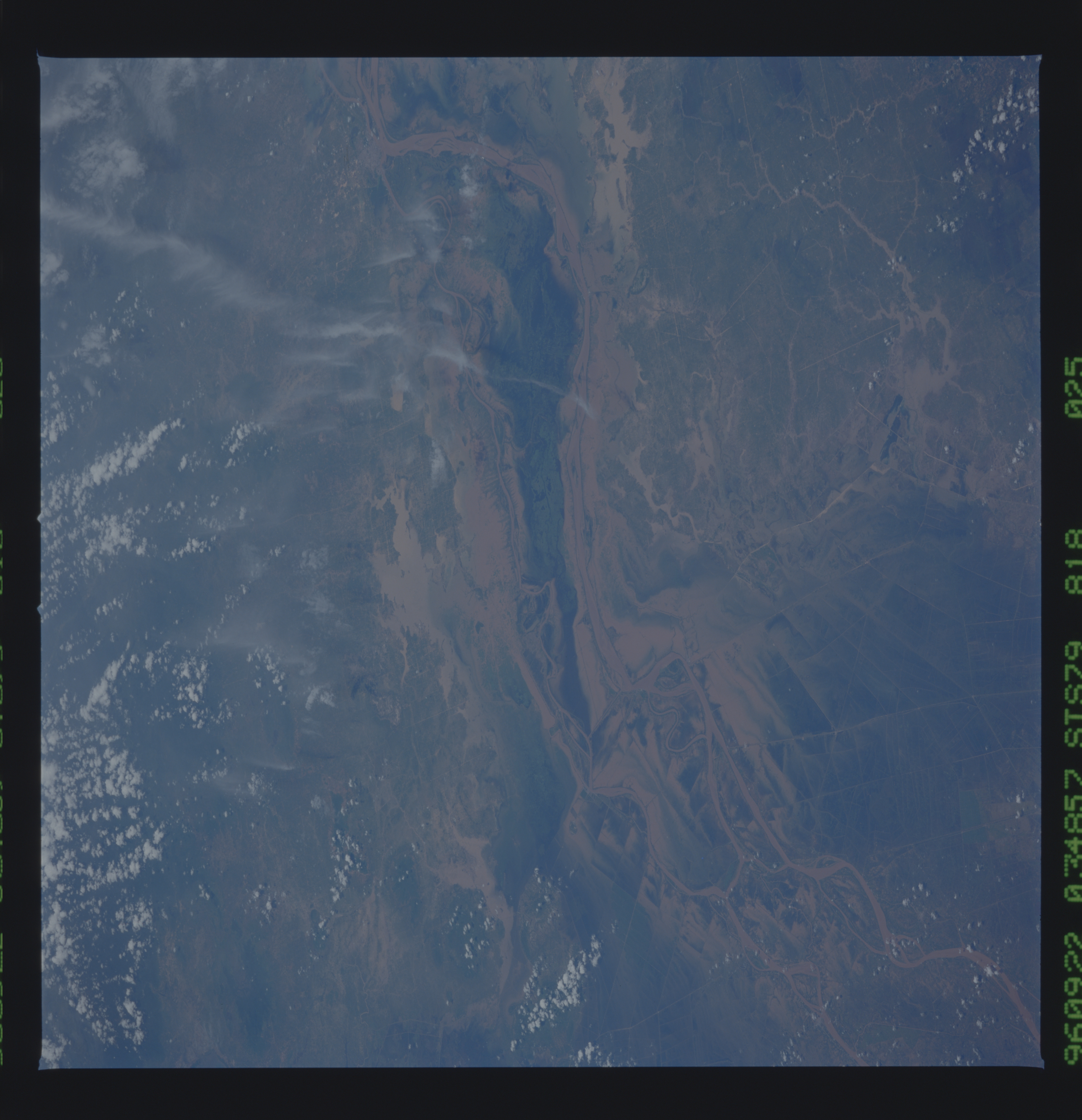
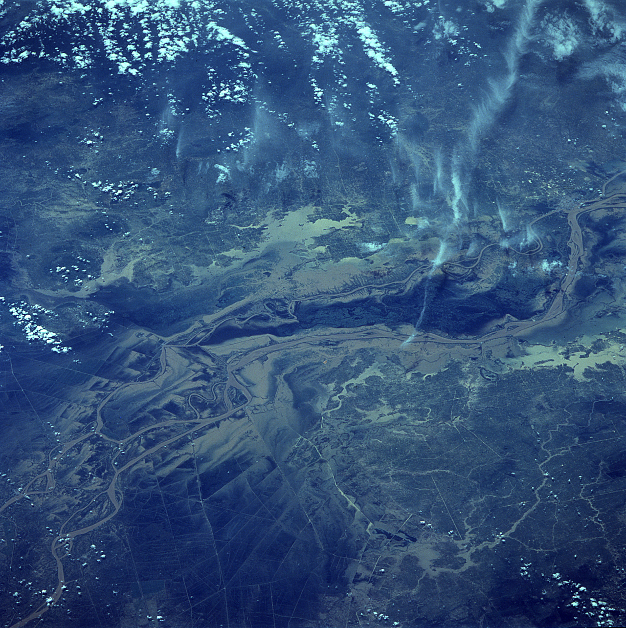
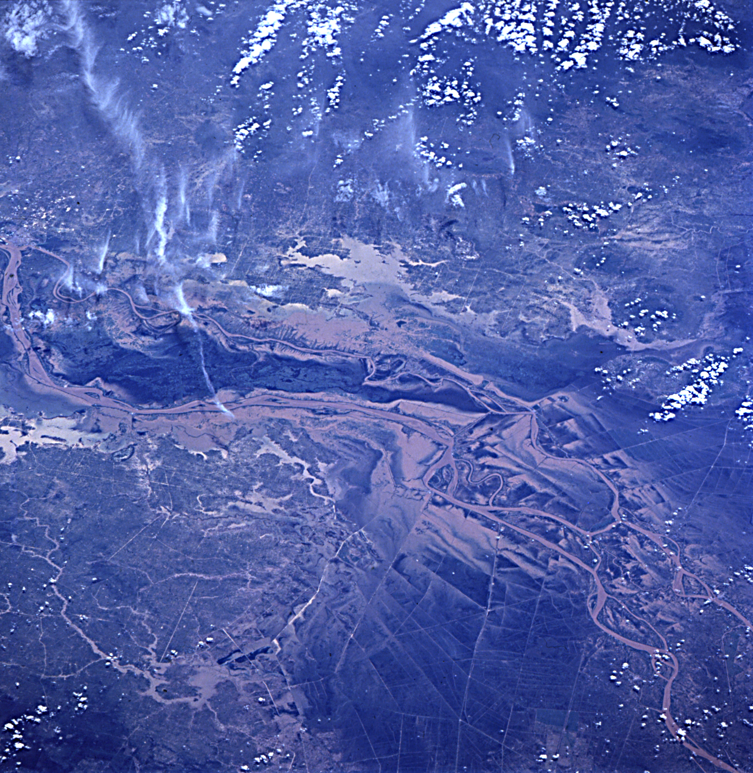
Image Caption: Mekong --lower river--in flood after typhoon Willie.
