STS078-737-14
| NASA Photo ID | STS078-737-14 |
| Focal Length | 100mm |
| Date taken | 1996.06.30 |
| Time taken | 19:26:00 GMT |
Resolutions offered for this image:
4061 x 4061 pixels 639 x 639 pixels 5700 x 5900 pixels 483 x 500 pixels
4061 x 4061 pixels 639 x 639 pixels 5700 x 5900 pixels 483 x 500 pixels


Cloud masks available for this image:
Spacecraft nadir point: 17.0° S, 66.9° W
Photo center point: 18.5° S, 68.5° W
Photo center point by machine learning:
Photo center point: 18.5° S, 68.5° W
Photo center point by machine learning:
Nadir to Photo Center: Southwest
Spacecraft Altitude: 146 nautical miles (270km)
Country or Geographic Name: | BOLIVIA |
Features: | LAKE COIPASA , VOLCANOES |
| Features Found Using Machine Learning: | |
Cloud Cover Percentage: | 10 (1-10)% |
Sun Elevation Angle: | 31° |
Sun Azimuth: | 312° |
Camera: | Hasselblad |
Focal Length: | 100mm |
Camera Tilt: | High Oblique |
Format: | 5046: Kodak, natural color positive, Lumiere 100/5046, ASA 100, standard base |
Film Exposure: | Normal |
| Additional Information | |
| Width | Height | Annotated | Cropped | Purpose | Links |
|---|---|---|---|---|---|
| 4061 pixels | 4061 pixels | No | No | Earth From Space collection | Download Image |
| 639 pixels | 639 pixels | No | No | Earth From Space collection | Download Image |
| 5700 pixels | 5900 pixels | No | No | Download Image | |
| 483 pixels | 500 pixels | No | No | Download Image |
Download Packaged File
Download a Google Earth KML for this Image
View photo footprint information
Download a GeoTIFF for this photo
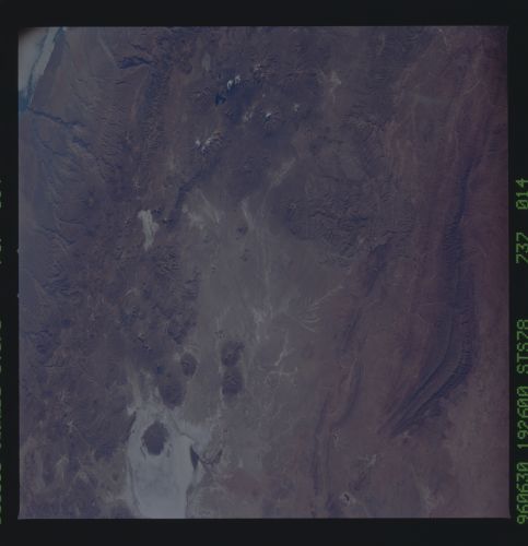
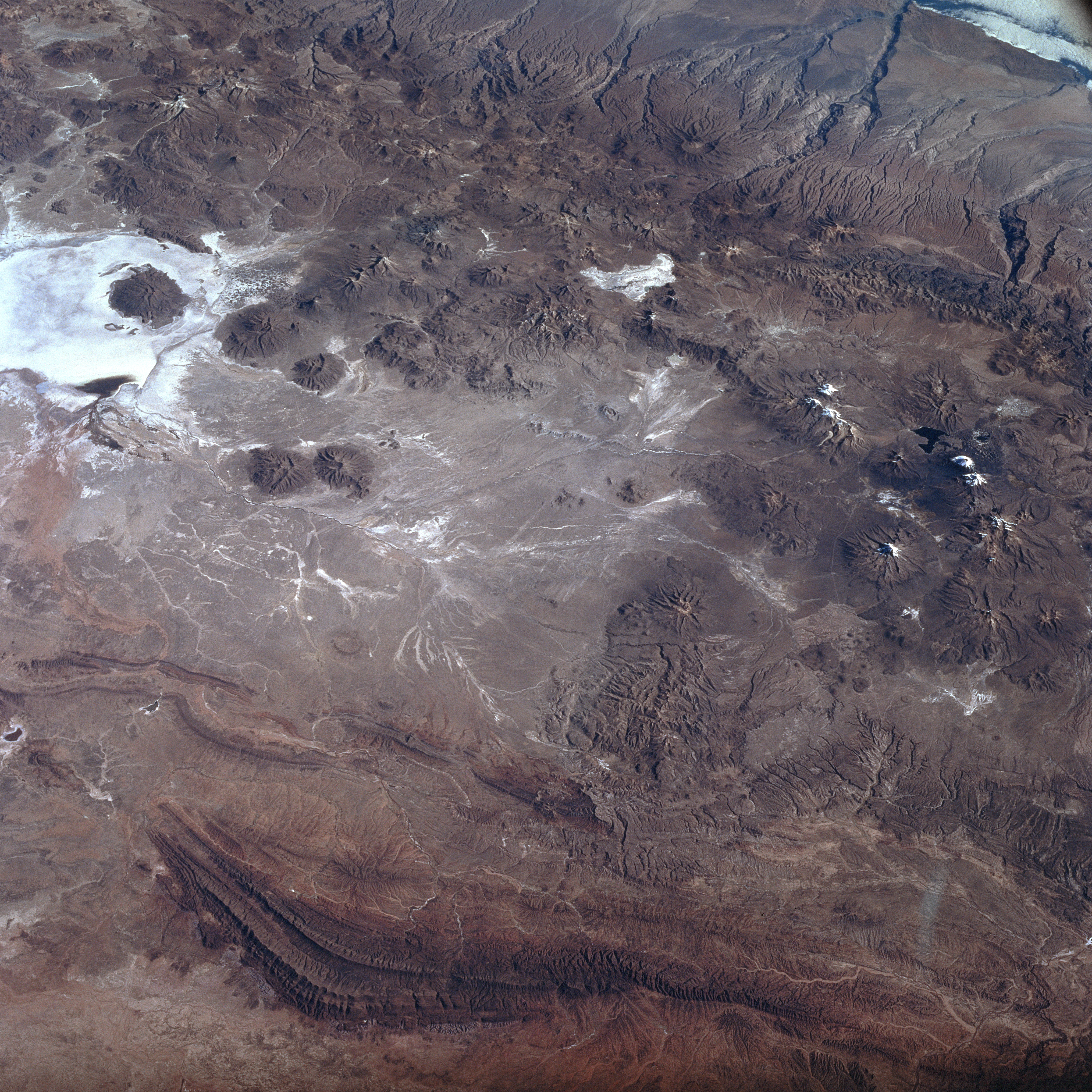
Image Caption: STS078-737-014 Lake Coipasa, Bolivia June 1996
The most obvious landform in this southwest looking view of the Altiplano in southwest Bolivia is the highly reflective salt flat, Salar de Coipasa (upper left). There is a dendritic drainage pattern that connects to intermittently flowing stream channels north of the Salar de Coipasa. The darker, semi-circular features are volcanoes that generally trend north-south. The maximum elevation of the volcano located within Salar de Coipasa is 16149 feet (4922 meters) above sea level, while the elevation of the dry lake is 11985 feet (3653 meters). A series of paralleling folded mountains are visible near the bottom of the image.
The most obvious landform in this southwest looking view of the Altiplano in southwest Bolivia is the highly reflective salt flat, Salar de Coipasa (upper left). There is a dendritic drainage pattern that connects to intermittently flowing stream channels north of the Salar de Coipasa. The darker, semi-circular features are volcanoes that generally trend north-south. The maximum elevation of the volcano located within Salar de Coipasa is 16149 feet (4922 meters) above sea level, while the elevation of the dry lake is 11985 feet (3653 meters). A series of paralleling folded mountains are visible near the bottom of the image.
