STS078-732-7
| NASA Photo ID | STS078-732-7 |
| Focal Length | 250mm |
| Date taken | 1996.06.24 |
| Time taken | 10:21:45 GMT |
Resolutions offered for this image:
4055 x 4055 pixels 639 x 639 pixels 5700 x 5900 pixels 483 x 500 pixels
4055 x 4055 pixels 639 x 639 pixels 5700 x 5900 pixels 483 x 500 pixels


Cloud masks available for this image:
Spacecraft nadir point: 39.0° N, 0.0° E
Photo center point: 39.5° N, 0.5° W
Photo center point by machine learning:
Photo center point: 39.5° N, 0.5° W
Photo center point by machine learning:
Nadir to Photo Center: Northwest
Spacecraft Altitude: 145 nautical miles (269km)
Country or Geographic Name: | SPAIN |
Features: | VALENCIA, AGRICULTURE, COAST |
| Features Found Using Machine Learning: | |
Cloud Cover Percentage: | 5 (1-10)% |
Sun Elevation Angle: | 64° |
Sun Azimuth: | 118° |
Camera: | Hasselblad |
Focal Length: | 250mm |
Camera Tilt: | 16 degrees |
Format: | 5046: Kodak, natural color positive, Lumiere 100/5046, ASA 100, standard base |
Film Exposure: | Normal |
| Additional Information | |
| Width | Height | Annotated | Cropped | Purpose | Links |
|---|---|---|---|---|---|
| 4055 pixels | 4055 pixels | No | No | Earth From Space collection | Download Image |
| 639 pixels | 639 pixels | No | No | Earth From Space collection | Download Image |
| 5700 pixels | 5900 pixels | No | No | Download Image | |
| 483 pixels | 500 pixels | No | No | Download Image |
Download Packaged File
Download a Google Earth KML for this Image
View photo footprint information
Download a GeoTIFF for this photo
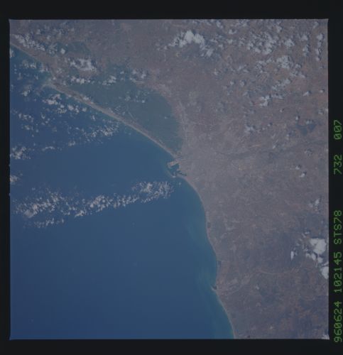
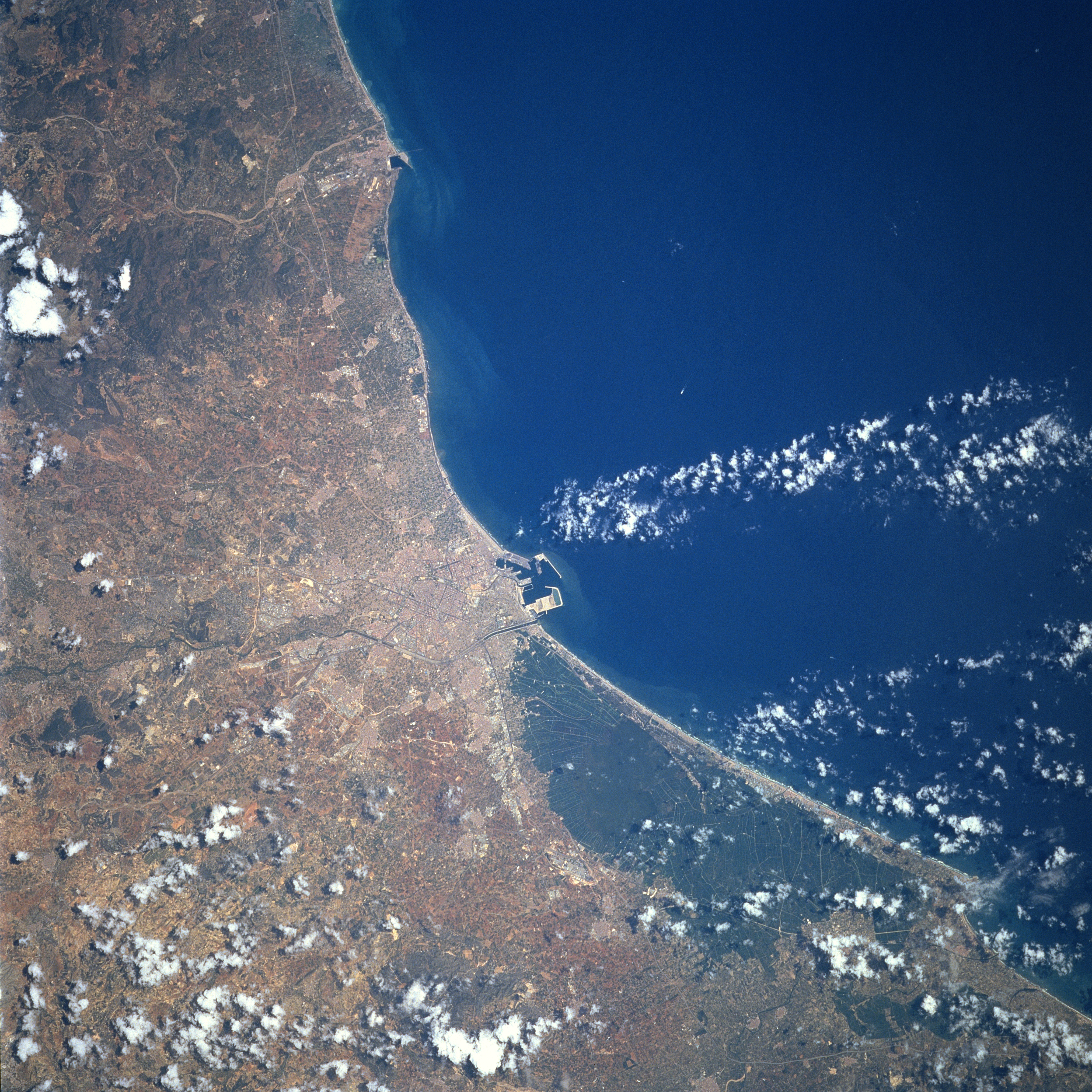
Image Caption: STS078-732-007 Valencia, Spain June 1996
Situated on the east coast of the Iberian Peninsula, Valencia (near center of image) is the capital of the Valencia Autonomous Region, as well as a major port in Spain. With an estimated 800000 people, this historic and picturesque city is the third largest city in Spain. A modern marine facility that includes a variety of docks and piers that handle even containerized cargo is visible as light colored structures that juts into the blue waters of the Gulf of Valencia along the eastern edge of the city. The extensive dark area south of the city is a marshy depression that parallels the coast. A lake (very dark area) is barely identifiable near the northern end of the depression. The light colored, linear features are either railroad right of ways or highways. Climatically, this region falls within the Mediterranean climate which features hot summers and cold, damp winters.
Situated on the east coast of the Iberian Peninsula, Valencia (near center of image) is the capital of the Valencia Autonomous Region, as well as a major port in Spain. With an estimated 800000 people, this historic and picturesque city is the third largest city in Spain. A modern marine facility that includes a variety of docks and piers that handle even containerized cargo is visible as light colored structures that juts into the blue waters of the Gulf of Valencia along the eastern edge of the city. The extensive dark area south of the city is a marshy depression that parallels the coast. A lake (very dark area) is barely identifiable near the northern end of the depression. The light colored, linear features are either railroad right of ways or highways. Climatically, this region falls within the Mediterranean climate which features hot summers and cold, damp winters.
