STS077-703-79

| NASA Photo ID | STS077-703-79 |
| Focal Length | 100mm |
| Date taken | 1996.05.23 |
| Time taken | 15:26:07 GMT |
Cloud masks available for this image:
Spacecraft nadir point: 33.5° N, 102.0° W
Photo center point: 31.5° N, 107.0° W
Photo center point by machine learning:
Photo center point: 31.5° N, 107.0° W
Photo center point by machine learning:
Nadir to Photo Center: West
Spacecraft Altitude: 152 nautical miles (282km)
Country or Geographic Name: | MEXICO |
Features: | PAN-WHITE SANDS TO BAJA |
| Features Found Using Machine Learning: | |
Cloud Cover Percentage: | 10 (1-10)% |
Sun Elevation Angle: | 44° |
Sun Azimuth: | 93° |
Camera: | Hasselblad |
Focal Length: | 100mm |
Camera Tilt: | High Oblique |
Format: | 5046: Kodak, natural color positive, Lumiere 100/5046, ASA 100, standard base |
Film Exposure: | Normal |
| Additional Information | |
| Width | Height | Annotated | Cropped | Purpose | Links |
|---|---|---|---|---|---|
| 5700 pixels | 5900 pixels | No | No | Download Image | |
| 500 pixels | 518 pixels | No | No | Download Image | |
| 640 pixels | 480 pixels | No | No | Download Image |
Download Packaged File
Download a Google Earth KML for this Image
View photo footprint information
Download a GeoTIFF for this photo
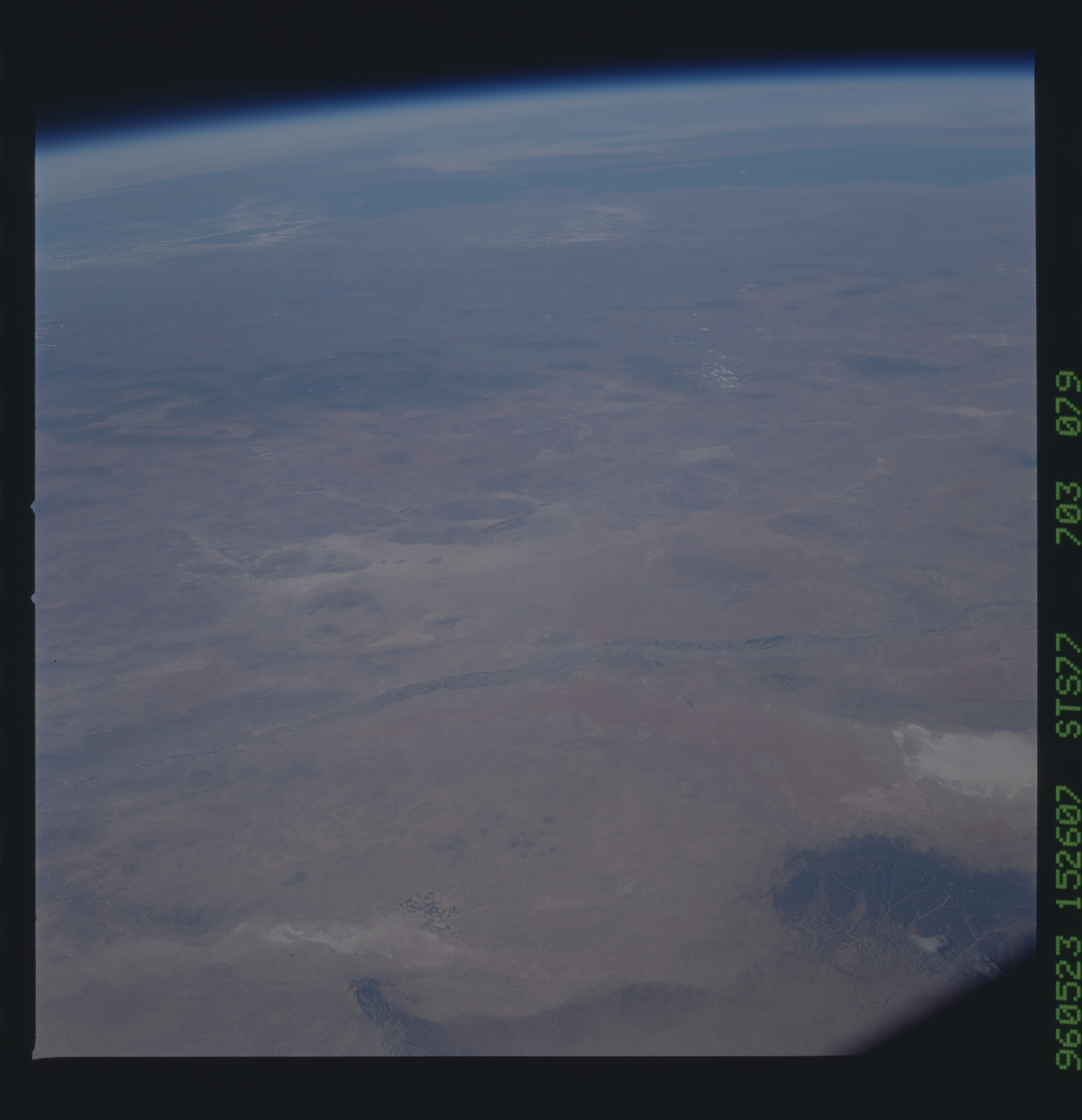
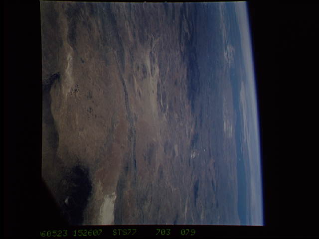
Image Caption: View westward across the southern end of the Basin and Range,
southwestern United States and northwestern Mexico. Guadalupe
Mountains and Sacramento Mountains in the foreground, Juarez,
El Paso, the Rio Grande valley in the middle distance, and the
Sierra Madre Occidental and Gulf of California in the far
distance.
southwestern United States and northwestern Mexico. Guadalupe
Mountains and Sacramento Mountains in the foreground, Juarez,
El Paso, the Rio Grande valley in the middle distance, and the
Sierra Madre Occidental and Gulf of California in the far
distance.
