STS077-151-112
| NASA Photo ID | STS077-151-112 |
| Focal Length | 90mm |
| Date taken | 1996.05.21 |
| Time taken | 16:56:49 GMT |
Resolutions offered for this image:
640 x 480 pixels
640 x 480 pixels
Cloud masks available for this image:
Spacecraft nadir point: 30.1° N, 100.7° W
Photo center point: 30.0° N, 101.0° W
Photo center point by machine learning:
Photo center point: 30.0° N, 101.0° W
Photo center point by machine learning:
Nadir to Photo Center: West
Spacecraft Altitude: 153 nautical miles (283km)
Country or Geographic Name: | USA-TEXAS |
Features: | AMISTAD RES., DEVIL'S R. |
| Features Found Using Machine Learning: | |
Cloud Cover Percentage: | 15 (11-25)% |
Sun Elevation Angle: | 65° |
Sun Azimuth: | 107° |
Camera: | Linhof |
Focal Length: | 90mm |
Camera Tilt: | 7 degrees |
Format: | 5046: Kodak, natural color positive, Lumiere 100/5046, ASA 100, standard base |
Film Exposure: | Normal |
| Additional Information | |
| Width | Height | Annotated | Cropped | Purpose | Links |
|---|---|---|---|---|---|
| 640 pixels | 480 pixels | No | No | ISD 1 | Download Image |
Download Packaged File
Download a Google Earth KML for this Image
View photo footprint information
Download a GeoTIFF for this photo
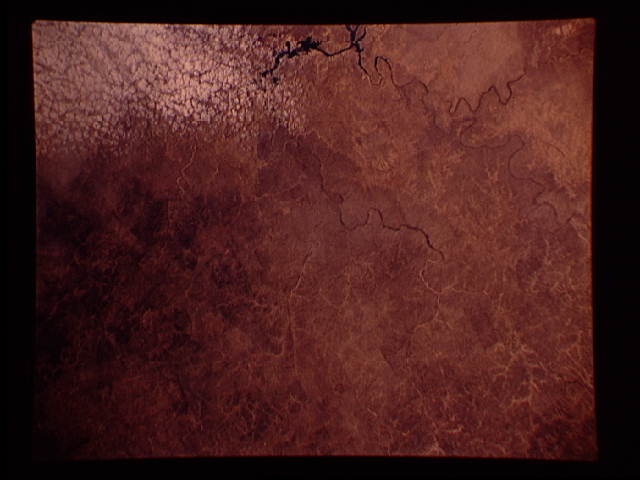
Image Caption: Edwards Plateau west of Del Rio, Texas. The bottom of the
frame runs though the Amistad Reservoir, on the Rio Grande.
Very little water remains in the Devils River Canyon that joins the
Rio Grande from the north.
frame runs though the Amistad Reservoir, on the Rio Grande.
Very little water remains in the Devils River Canyon that joins the
Rio Grande from the north.
