STS075-759-21
| NASA Photo ID | STS075-759-21 |
| Focal Length | 250mm |
| Date taken | 1996.03.07 |
| Time taken | 16:41:14 GMT |
Resolutions offered for this image:
5185 x 5185 pixels 639 x 639 pixels 5700 x 5900 pixels 500 x 518 pixels 640 x 480 pixels
5185 x 5185 pixels 639 x 639 pixels 5700 x 5900 pixels 500 x 518 pixels 640 x 480 pixels


Cloud masks available for this image:
Spacecraft nadir point: 18.3° N, 90.2° W
Photo center point: 18.5° N, 91.5° W
Photo center point by machine learning:
Photo center point: 18.5° N, 91.5° W
Photo center point by machine learning:
Nadir to Photo Center: West
Spacecraft Altitude: 154 nautical miles (285km)
Country or Geographic Name: | MEXICO |
Features: | LAG. DE TERMINOS, SED., IS |
| Features Found Using Machine Learning: | |
Cloud Cover Percentage: | 0 (no clouds present) |
Sun Elevation Angle: | 58° |
Sun Azimuth: | 134° |
Camera: | Hasselblad |
Focal Length: | 250mm |
Camera Tilt: | 27 degrees |
Format: | 2443: Kodak Aerochrome 2443, color IR, thin base, EA-5 process thru June 1999, E-6 process afterward |
Film Exposure: | Normal |
| Additional Information | |
| Width | Height | Annotated | Cropped | Purpose | Links |
|---|---|---|---|---|---|
| 5185 pixels | 5185 pixels | No | No | Earth From Space collection | Download Image |
| 639 pixels | 639 pixels | No | No | Earth From Space collection | Download Image |
| 5700 pixels | 5900 pixels | No | No | Download Image | |
| 500 pixels | 518 pixels | No | No | Download Image | |
| 640 pixels | 480 pixels | No | No | Download Image |
Download Packaged File
Download a Google Earth KML for this Image
View photo footprint information
Download a GeoTIFF for this photo
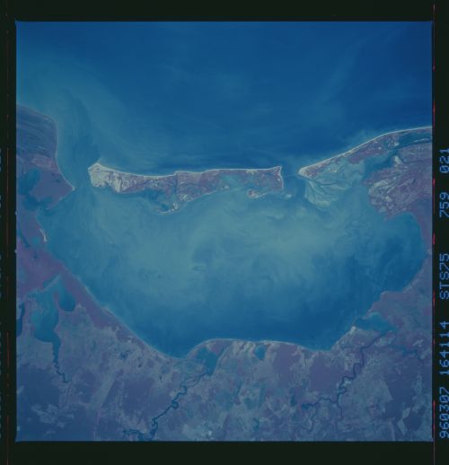
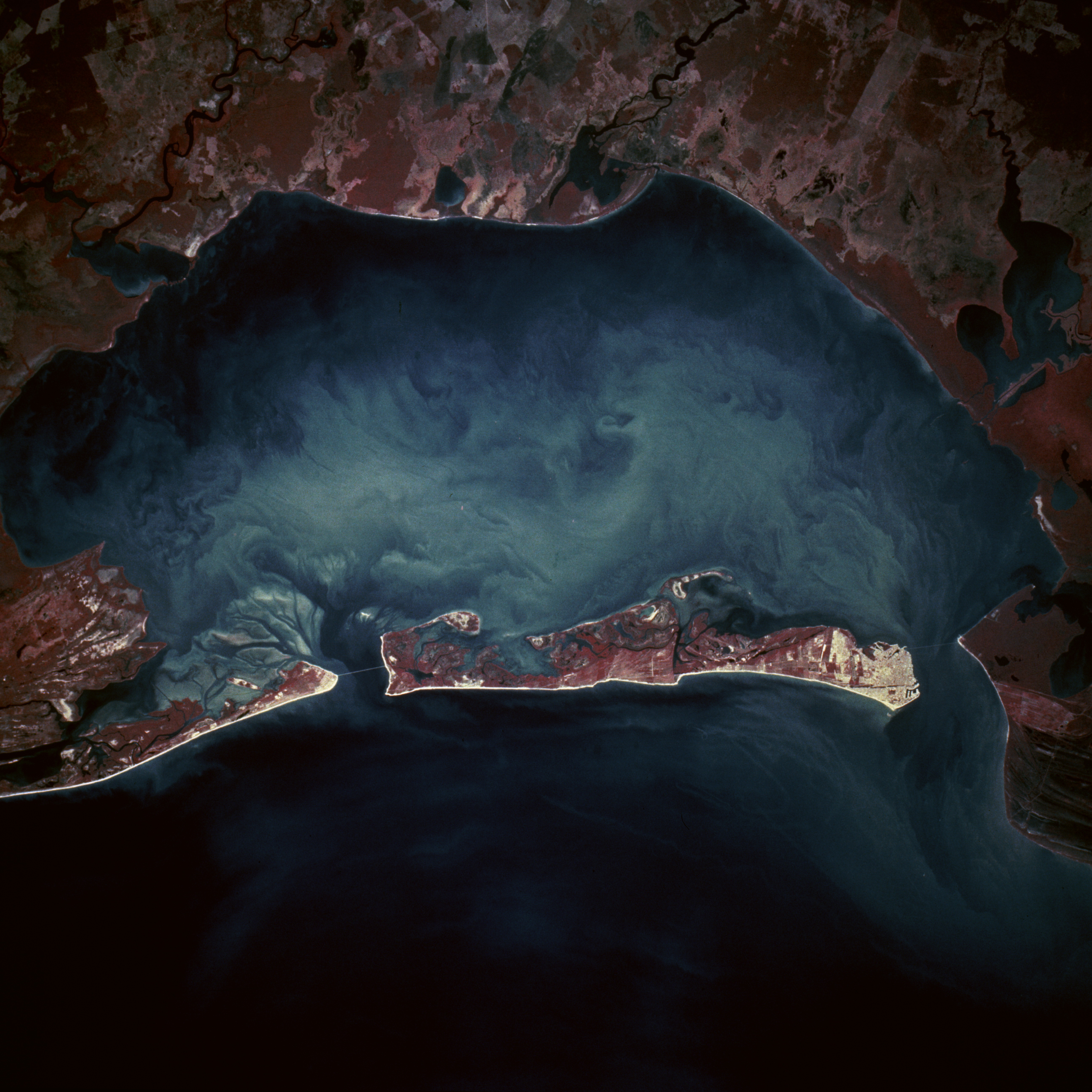
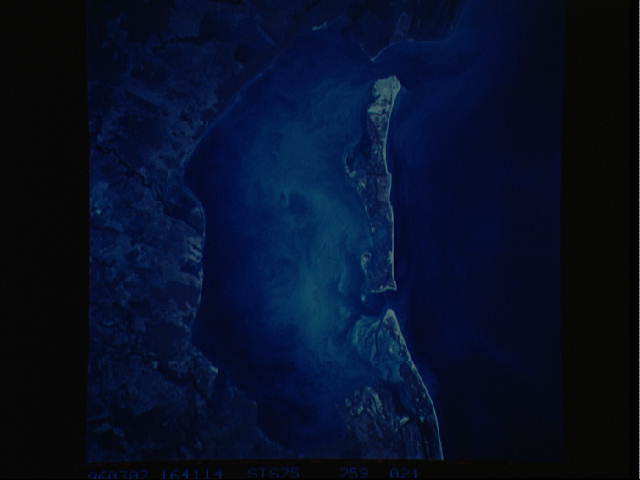
Image Caption: This color infrared, near-vertical photograph of Laguna de TZrminos shows a sediment-laden lagoon that is partially bordered on one side by Carmen Island. The dynamics of the surface currents within the lagoon are revealed by the turbidity patterns in the water. Cuidad del Carmen, with a population of approximately 50 000 on the western tip of Carmen Island, has excellent port facilities that handle approximately 20 percent of Mexico's total petroleum exports. Apparently bridges on either end of the island connect the island with the mainland. The lagoon, recognized as a critical wetland area, is listed among the highest ranked habitats in Mexico for its ability to sustain a variety of plants and animals. Several small, short-flowing rivers enter the lagoon from the mainland along the south side of the lagoon. As industry develops along the southern shore of the lagoon, ecologists and environmentalists will monitor discharges into this environmentally sensitive area. The Bay of Campeche, a southern extension of the Gulf of Mexico, is the water body along the northern coast of Carmen Island.
