STS075-721-47
| NASA Photo ID | STS075-721-47 |
| Focal Length | 40mm |
| Date taken | 1996.__.__ |
| Time taken | GMT |
Resolutions offered for this image:
5185 x 5185 pixels 639 x 639 pixels 5700 x 5900 pixels 500 x 518 pixels 640 x 480 pixels
5185 x 5185 pixels 639 x 639 pixels 5700 x 5900 pixels 500 x 518 pixels 640 x 480 pixels


Cloud masks available for this image:
Spacecraft nadir point:
Photo center point: 10.0° N, 106.5° E
Photo center point by machine learning:
Photo center point: 10.0° N, 106.5° E
Photo center point by machine learning:
Nadir to Photo Center:
Spacecraft Altitude: nautical miles (0km)
Country or Geographic Name: | VIETNAM |
Features: | MEKONG DELTA, SED. PLUME |
| Features Found Using Machine Learning: | |
Cloud Cover Percentage: | 5 (1-10)% |
Sun Elevation Angle: | ° |
Sun Azimuth: | ° |
Camera: | Hasselblad |
Focal Length: | 40mm |
Camera Tilt: | Low Oblique |
Format: | 5046: Kodak, natural color positive, Lumiere 100/5046, ASA 100, standard base |
Film Exposure: | Normal |
| Additional Information | |
| Width | Height | Annotated | Cropped | Purpose | Links |
|---|---|---|---|---|---|
| 5185 pixels | 5185 pixels | No | No | Earth From Space collection | Download Image |
| 639 pixels | 639 pixels | No | No | Earth From Space collection | Download Image |
| 5700 pixels | 5900 pixels | No | No | Download Image | |
| 500 pixels | 518 pixels | No | No | Download Image | |
| 640 pixels | 480 pixels | No | No | Download Image |
Download Packaged File
Download a Google Earth KML for this Image
View photo footprint information
Download a GeoTIFF for this photo
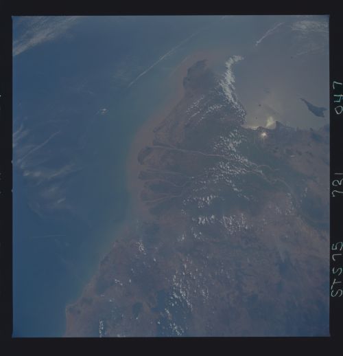
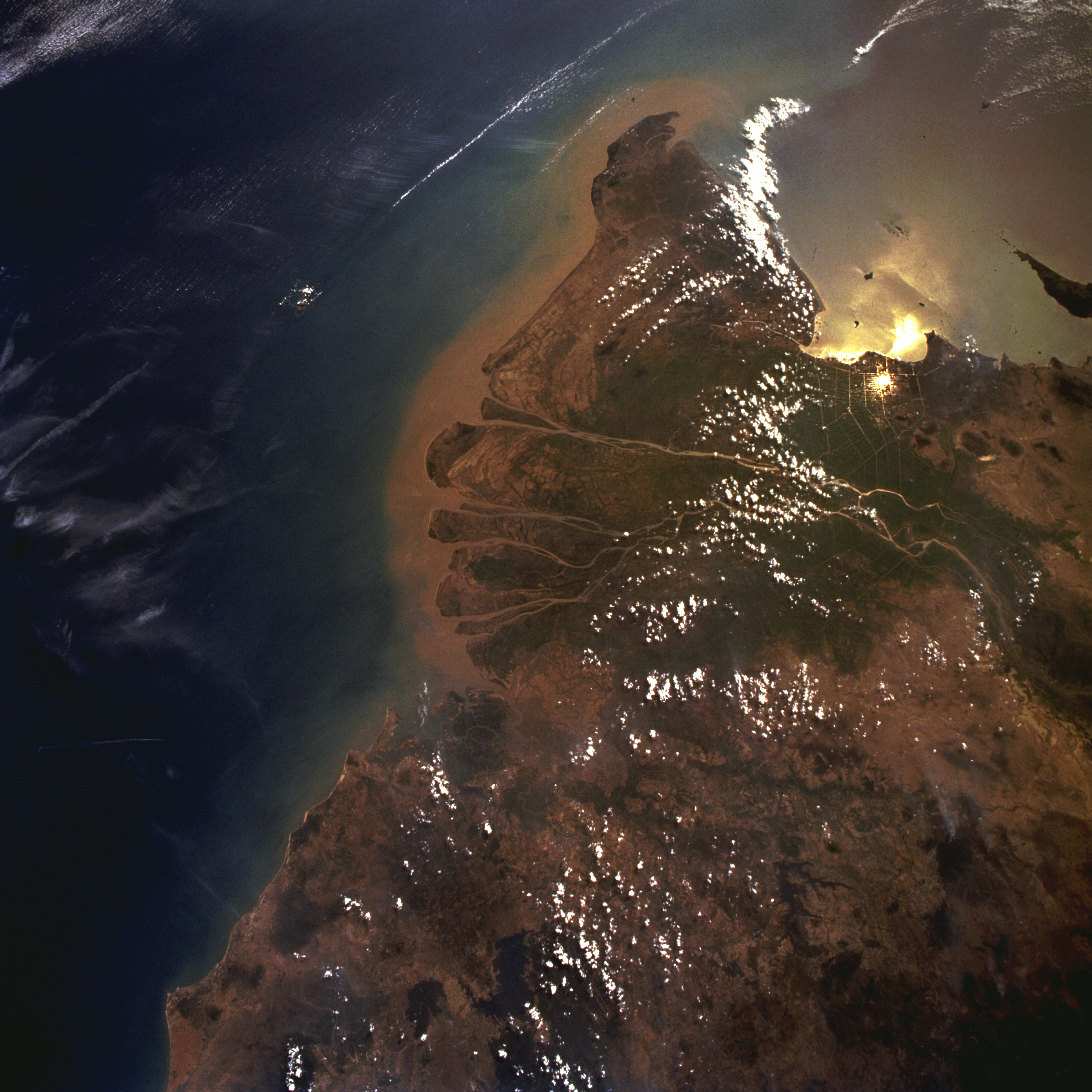
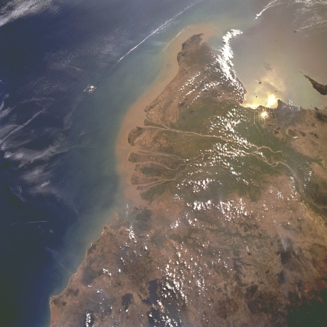
Image Caption: STS075-721-047 Mekong River Delta, Vietnam February 1996
This southwest-looking, low-oblique photograph shows the lower Mekong River and its vast delta. Rising on the Plateau of Tibet, the Mekong flows generally southeast for 2600 miles (4160 kilometers) and empties into the South China Sea through a large delta. The Mekong River Delta covers 75 000 square miles (194 250 square kilometers), and, with its many channels still depositing sediment, the delta continues to grow. The vast swampy delta, crisscrossed by many channels and canals, is one of the greatest rice-growing regions of Asia. Even though rainfall is heavy during the summer months, winters are dry and require irrigation for most of the rice-growing area. The Mekong River Delta was the scene of heavy fighting during the Vietnam War. Barely discernible northwest of the delta is Ho Chi Minh City, formerly Saigon. Point Cau Mau, the southern tip of Vietnam, is visible southwest of the delta.
This southwest-looking, low-oblique photograph shows the lower Mekong River and its vast delta. Rising on the Plateau of Tibet, the Mekong flows generally southeast for 2600 miles (4160 kilometers) and empties into the South China Sea through a large delta. The Mekong River Delta covers 75 000 square miles (194 250 square kilometers), and, with its many channels still depositing sediment, the delta continues to grow. The vast swampy delta, crisscrossed by many channels and canals, is one of the greatest rice-growing regions of Asia. Even though rainfall is heavy during the summer months, winters are dry and require irrigation for most of the rice-growing area. The Mekong River Delta was the scene of heavy fighting during the Vietnam War. Barely discernible northwest of the delta is Ho Chi Minh City, formerly Saigon. Point Cau Mau, the southern tip of Vietnam, is visible southwest of the delta.
