STS074-711-47
| NASA Photo ID | STS074-711-47 |
| Focal Length | 250mm |
| Date taken | 1995.11.14 |
| Time taken | 21:21:44 GMT |
Resolutions offered for this image:
5700 x 5900 pixels 4961 x 3543 pixels 4961 x 3543 pixels 500 x 518 pixels 640 x 480 pixels 1000 x 1400 pixels
5700 x 5900 pixels 4961 x 3543 pixels 4961 x 3543 pixels 500 x 518 pixels 640 x 480 pixels 1000 x 1400 pixels

Cloud masks available for this image:
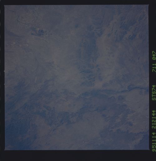
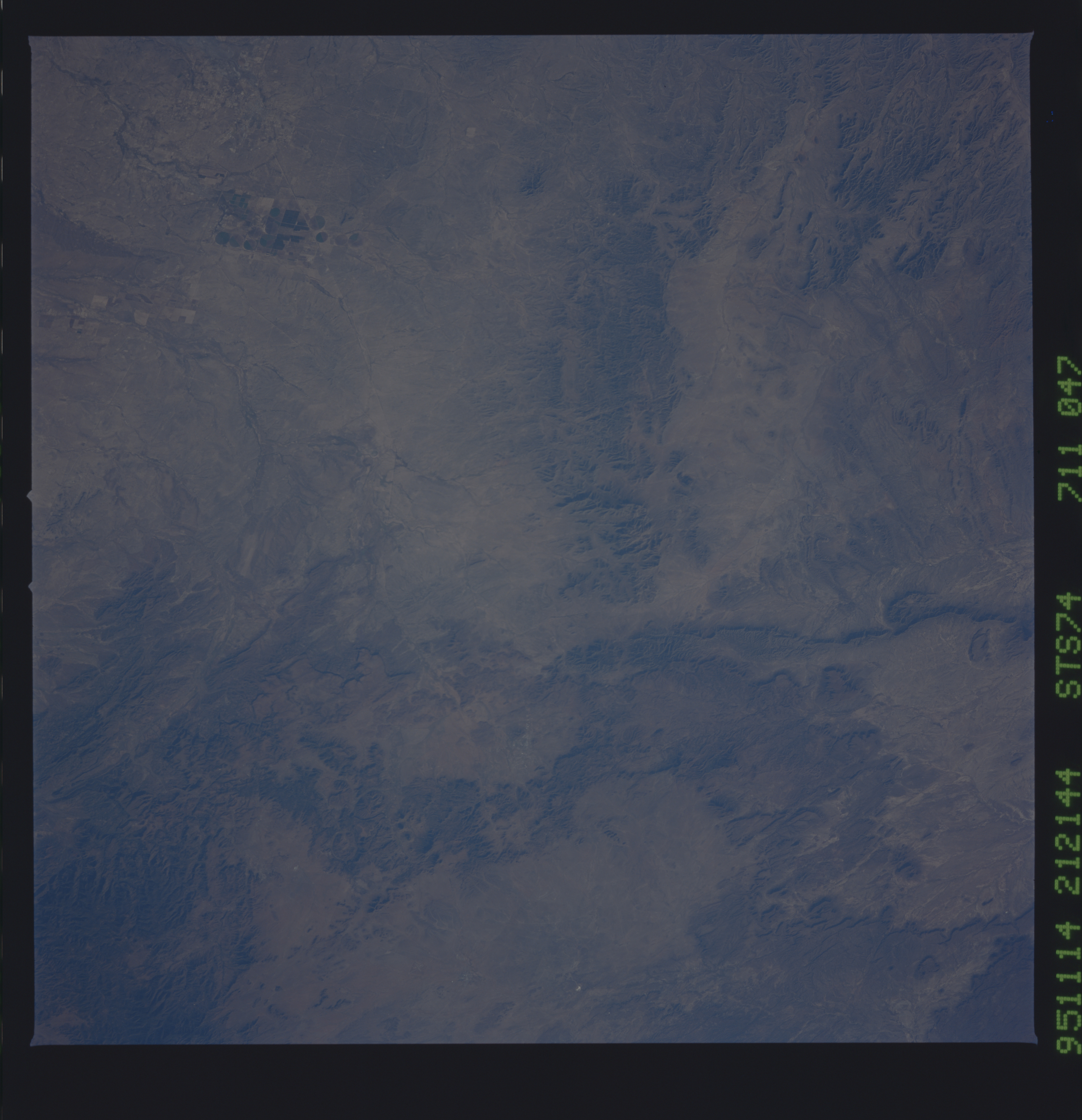
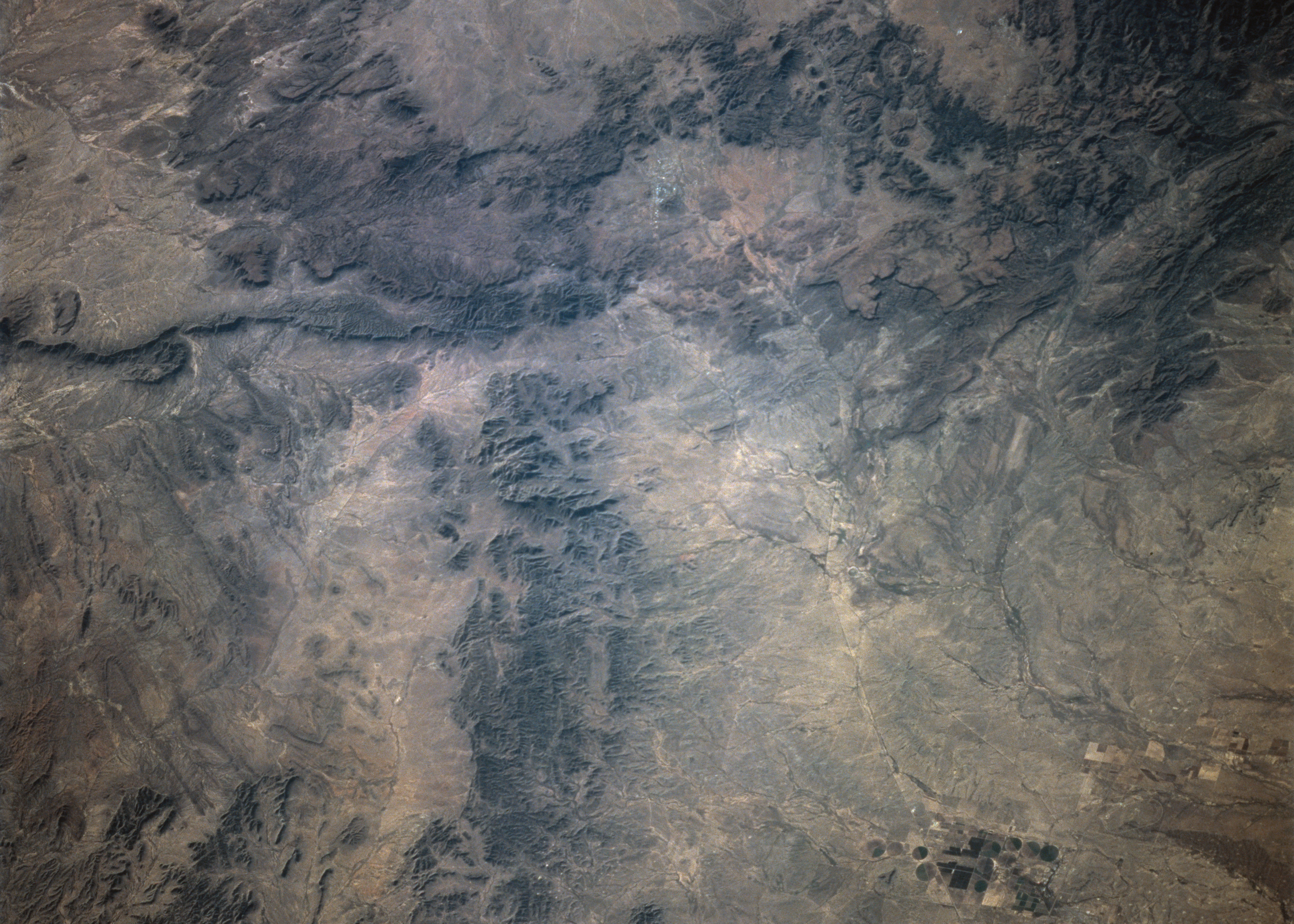
Spacecraft nadir point: 32.3° N, 100.9° W
Photo center point: 30.5° N, 103.5° W
Photo center point by machine learning:
Photo center point: 30.5° N, 103.5° W
Photo center point by machine learning:
Nadir to Photo Center: Southwest
Spacecraft Altitude: 210 nautical miles (389km)
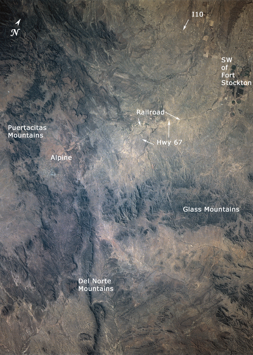
Country or Geographic Name: | USA-TEXAS |
Features: | GLASS MOUNTAINS, AGR. |
| Features Found Using Machine Learning: | |
Cloud Cover Percentage: | 0 (no clouds present) |
Sun Elevation Angle: | 25° |
Sun Azimuth: | 226° |
Camera: | Hasselblad |
Focal Length: | 250mm |
Camera Tilt: | 42 degrees |
Format: | 5046: Kodak, natural color positive, Lumiere 100/5046, ASA 100, standard base |
Film Exposure: | Normal |
| Additional Information | |
| Width | Height | Annotated | Cropped | Purpose | Links |
|---|---|---|---|---|---|
| 5700 pixels | 5900 pixels | No | No | Download Image | |
| 4961 pixels | 3543 pixels | No | Yes | Scientist Request | Download Image |
| 4961 pixels | 3543 pixels | No | No | Scientist Request | Download Image |
| 500 pixels | 518 pixels | No | No | Download Image | |
| 640 pixels | 480 pixels | No | No | Download Image | |
| 1000 pixels | 1400 pixels | Yes | Yes | Scientist Request | Download Image |
Download Packaged File
Download a Google Earth KML for this Image
View photo footprint information
Download a GeoTIFF for this photo
Image Caption: none
