STS074-711-15

| NASA Photo ID | STS074-711-15 |
| Focal Length | 250mm |
| Date taken | 1995.11.14 |
| Time taken | 21:17:58 GMT |
Resolutions offered for this image:
3840 x 3968 pixels 619 x 639 pixels 5700 x 5900 pixels 500 x 518 pixels 640 x 480 pixels 3968 x 3872 pixels
3840 x 3968 pixels 619 x 639 pixels 5700 x 5900 pixels 500 x 518 pixels 640 x 480 pixels 3968 x 3872 pixels
Cloud masks available for this image:
Spacecraft nadir point: 41.5° N, 114.3° W
Photo center point: 41.0° N, 113.0° W
Photo center point by machine learning:
Photo center point: 41.0° N, 113.0° W
Photo center point by machine learning:
Nadir to Photo Center: East
Spacecraft Altitude: 210 nautical miles (389km)
Country or Geographic Name: | USA-UTAH |
Features: | DESERT, GREAT SALT LAKE |
| Features Found Using Machine Learning: | |
Cloud Cover Percentage: | 0 (no clouds present) |
Sun Elevation Angle: | 25° |
Sun Azimuth: | 211° |
Camera: | Hasselblad |
Focal Length: | 250mm |
Camera Tilt: | 22 degrees |
Format: | 5046: Kodak, natural color positive, Lumiere 100/5046, ASA 100, standard base |
Film Exposure: | Normal |
| Additional Information | |
| Width | Height | Annotated | Cropped | Purpose | Links |
|---|---|---|---|---|---|
| 3840 pixels | 3968 pixels | No | No | Earth From Space collection | Download Image |
| 619 pixels | 639 pixels | No | No | Earth From Space collection | Download Image |
| 5700 pixels | 5900 pixels | No | No | Download Image | |
| 500 pixels | 518 pixels | No | No | Download Image | |
| 640 pixels | 480 pixels | No | No | Download Image | |
| 3968 pixels | 3872 pixels | Download Image |
Download Packaged File
Download a Google Earth KML for this Image
View photo footprint information
Download a GeoTIFF for this photo
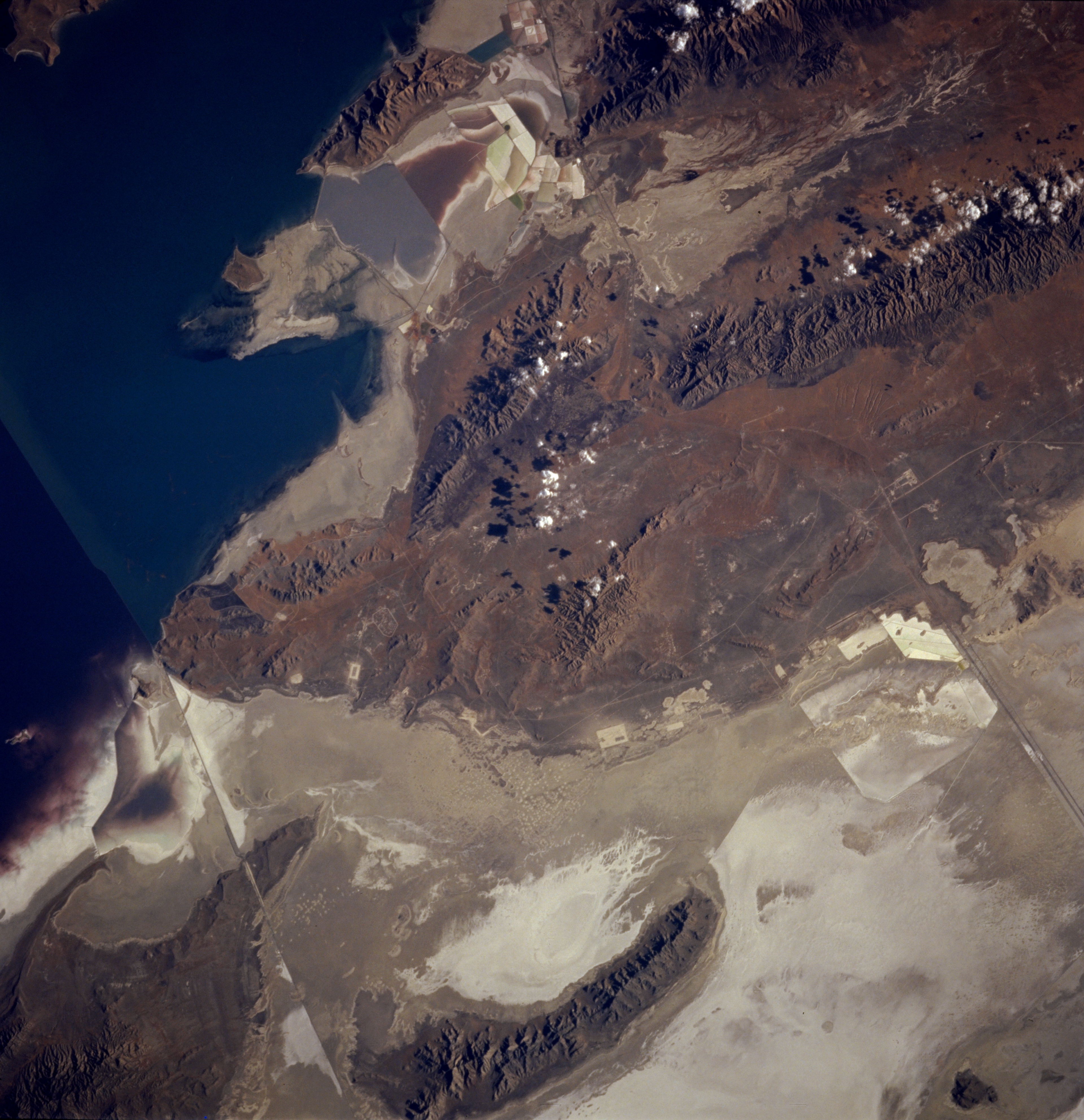
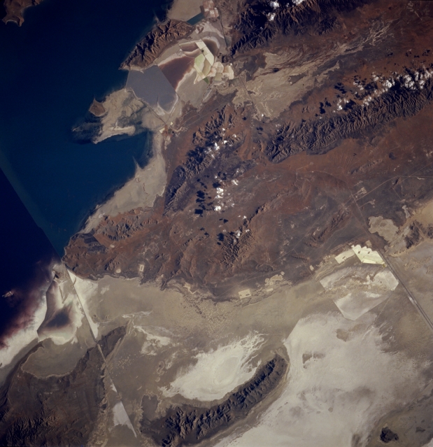
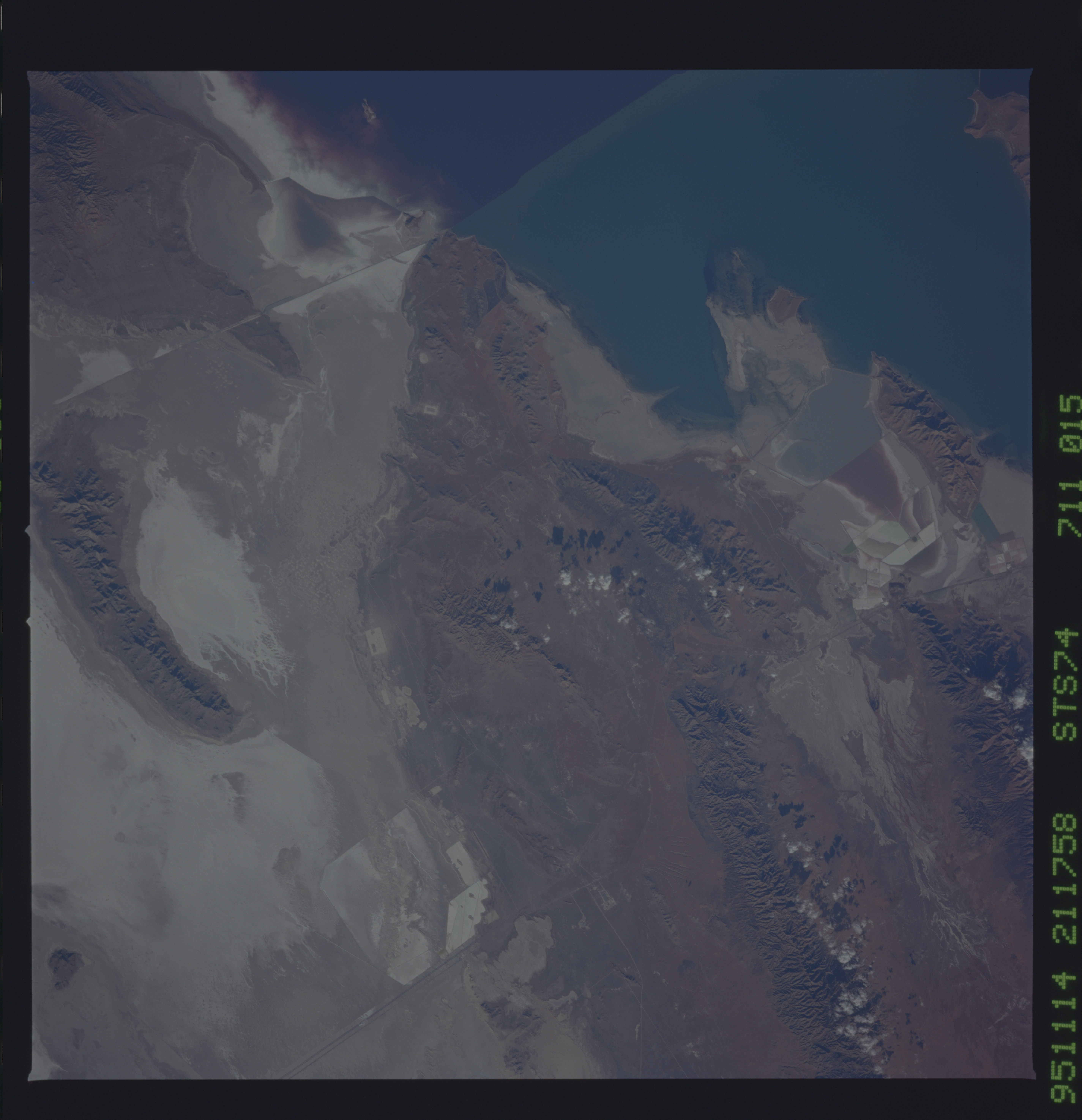
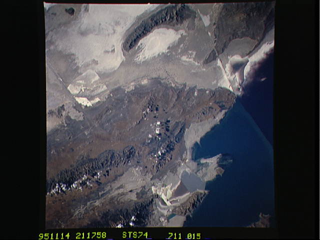
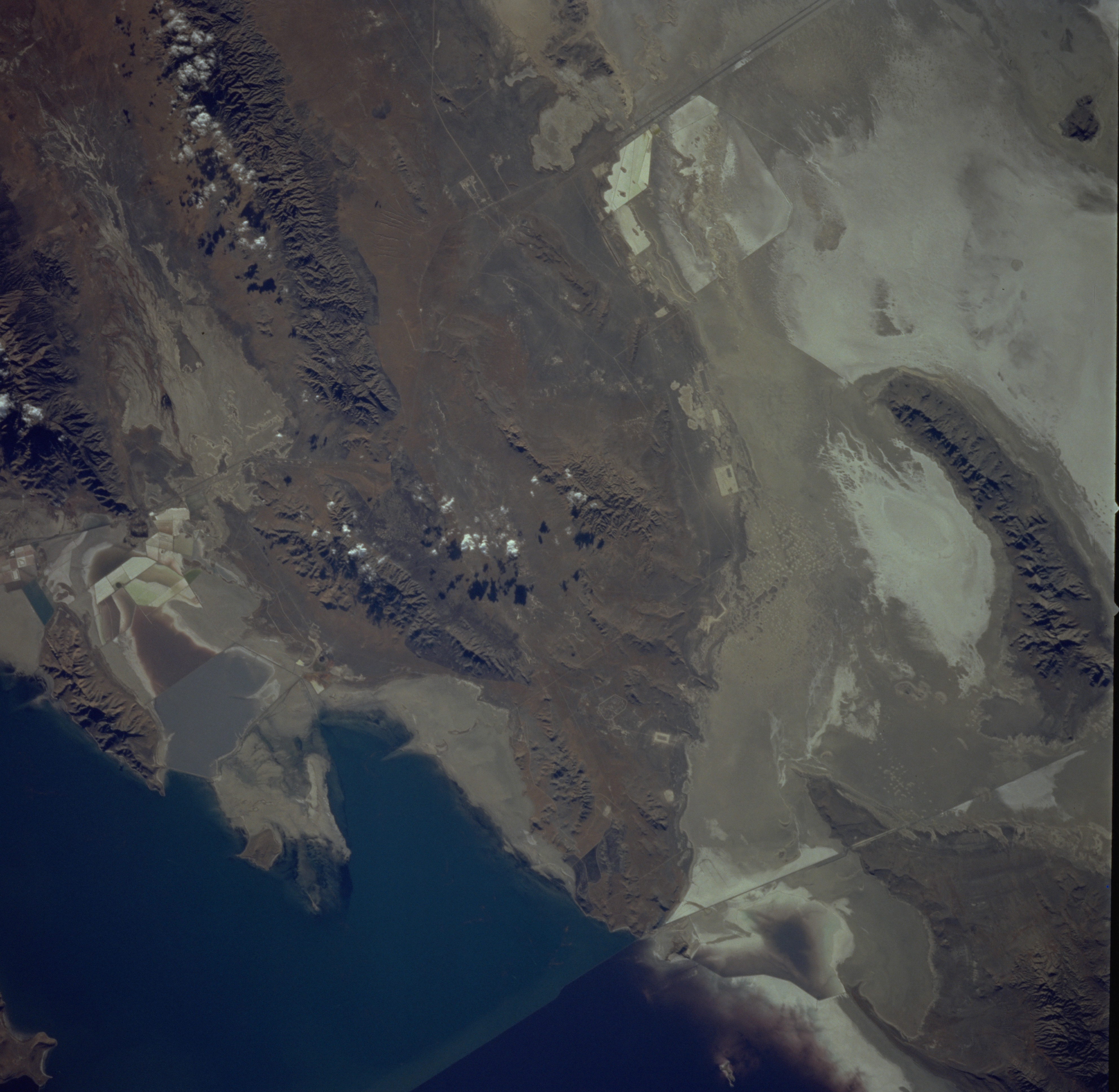
Image Caption: STS074-711-015 Great Salt Lake Desert and Cedar Mountains, Utah, U.S.A. November 1995
The western portion of the Great Salt Lake appears in this east-southeast-looking, low-oblique photograph. The bridge and tracks of the Union Pacific Railroad appear as a straight line (left bottom of photograph). To the south, Interstate Highway 80 bisects the Great Salt Lake Desert, once the floor of prehistoric Lake Bonneville. South of the elongated Newfoundland Mountains (bottom center) appear the Cedar Mountains. Skull Valley Indian Reservation lies in the flat, desert-like area between the Cedar Mountains and the Newfoundland Mountains. Commercial extracting industrial patterns are discernible near the top center of the photograph.
The western portion of the Great Salt Lake appears in this east-southeast-looking, low-oblique photograph. The bridge and tracks of the Union Pacific Railroad appear as a straight line (left bottom of photograph). To the south, Interstate Highway 80 bisects the Great Salt Lake Desert, once the floor of prehistoric Lake Bonneville. South of the elongated Newfoundland Mountains (bottom center) appear the Cedar Mountains. Skull Valley Indian Reservation lies in the flat, desert-like area between the Cedar Mountains and the Newfoundland Mountains. Commercial extracting industrial patterns are discernible near the top center of the photograph.
