STS074-708-30
| NASA Photo ID | STS074-708-30 |
| Focal Length | 250mm |
| Date taken | 1995.11.13 |
| Time taken | 11:41:25 GMT |
Resolutions offered for this image:
4018 x 4078 pixels 630 x 639 pixels 5700 x 5900 pixels 500 x 518 pixels 640 x 480 pixels 523 x 518 pixels
4018 x 4078 pixels 630 x 639 pixels 5700 x 5900 pixels 500 x 518 pixels 640 x 480 pixels 523 x 518 pixels


Cloud masks available for this image:
Spacecraft nadir point: 35.5° N, 48.4° E
Photo center point: 37.0° N, 50.0° E
Photo center point by machine learning:
Photo center point: 37.0° N, 50.0° E
Photo center point by machine learning:
Nadir to Photo Center: Northeast
Spacecraft Altitude: 177 nautical miles (328km)
Country or Geographic Name: | IRAN |
Features: | DELTA, CASPIAN SEA |
| Features Found Using Machine Learning: | |
Cloud Cover Percentage: | 0 (no clouds present) |
Sun Elevation Angle: | 20° |
Sun Azimuth: | 229° |
Camera: | Hasselblad |
Focal Length: | 250mm |
Camera Tilt: | 37 degrees |
Format: | 5046: Kodak, natural color positive, Lumiere 100/5046, ASA 100, standard base |
Film Exposure: | Normal |
| Additional Information | |
| Width | Height | Annotated | Cropped | Purpose | Links |
|---|---|---|---|---|---|
| 4018 pixels | 4078 pixels | No | No | Earth From Space collection | Download Image |
| 630 pixels | 639 pixels | No | No | Earth From Space collection | Download Image |
| 5700 pixels | 5900 pixels | No | No | Download Image | |
| 500 pixels | 518 pixels | No | No | Download Image | |
| 640 pixels | 480 pixels | No | No | Download Image | |
| 523 pixels | 518 pixels | Download Image |
Download Packaged File
Download a Google Earth KML for this Image
View photo footprint information
Download a GeoTIFF for this photo
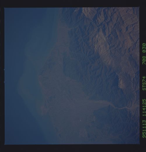
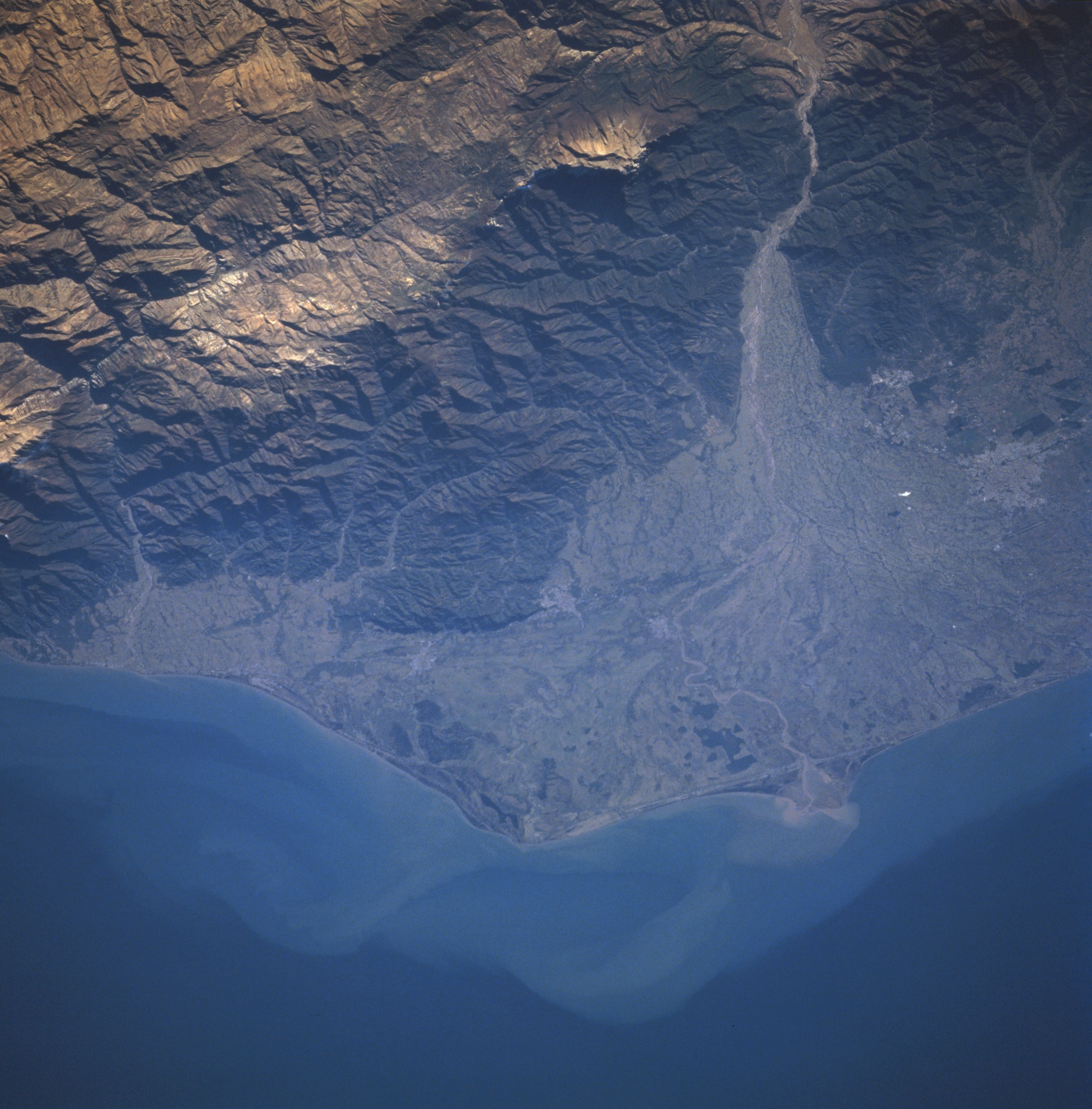
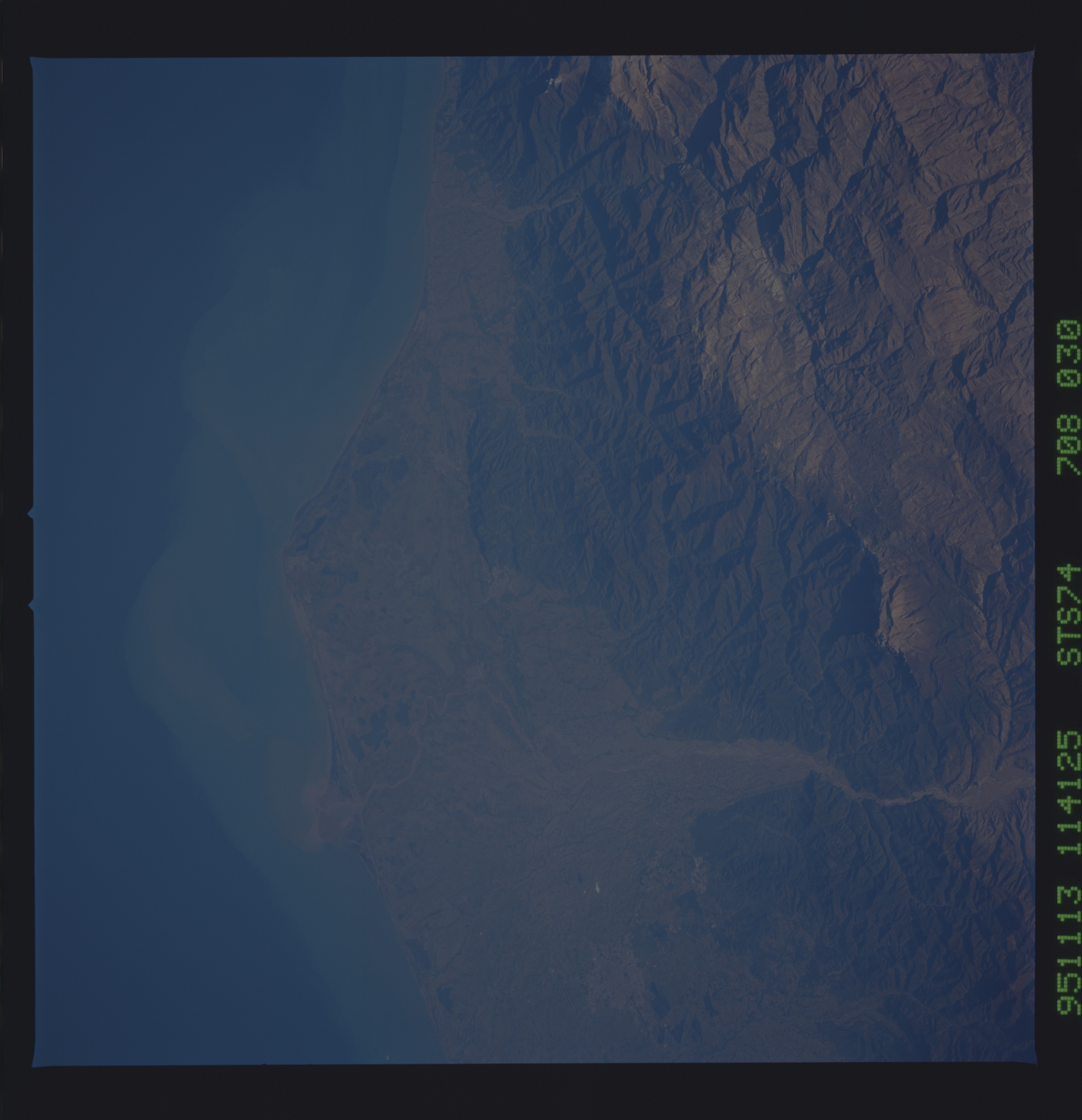
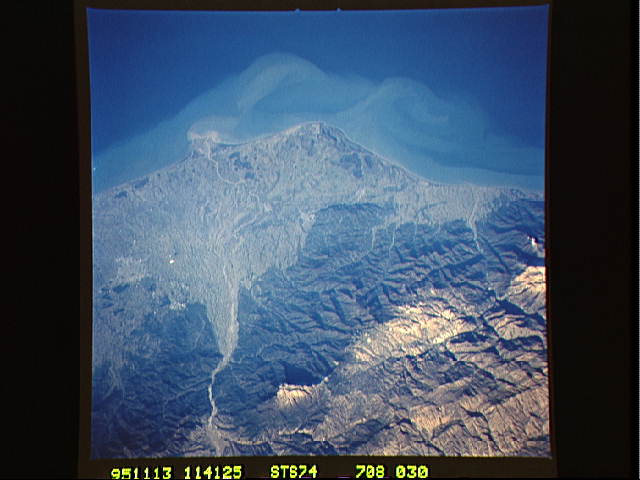
Image Caption: STS074-708-030 Safid River Delta, Rasht, Iran November 1995
The deltaic plain of the Safid River can be seen in this near-nadir view. The rugged, forested Elburz Mountains cover the upper and upper right portion of the image. The Caspian Sea is visible covering the bottom third of the image. The Safid River, 450 miles (725 km) long, rises in the Tallish Mountains of northwestern Iran and flows generally eastward, emptying into the Caspian Sea near the city of Rasht. The river has cut a water gap through the Elburz Mountains (upper right), and this gap provides a major transportation route between the capital city of Tehran (not visible on the image) and the Caspian lowlands. At the right center of the image, the city of Rasht, a major silk-manufacturing center, is discernible. Rasht is a trade center for an agricultural region where rice, cotton products, and peanuts are produced.
The deltaic plain of the Safid River can be seen in this near-nadir view. The rugged, forested Elburz Mountains cover the upper and upper right portion of the image. The Caspian Sea is visible covering the bottom third of the image. The Safid River, 450 miles (725 km) long, rises in the Tallish Mountains of northwestern Iran and flows generally eastward, emptying into the Caspian Sea near the city of Rasht. The river has cut a water gap through the Elburz Mountains (upper right), and this gap provides a major transportation route between the capital city of Tehran (not visible on the image) and the Caspian lowlands. At the right center of the image, the city of Rasht, a major silk-manufacturing center, is discernible. Rasht is a trade center for an agricultural region where rice, cotton products, and peanuts are produced.
