STS073-744-58
| NASA Photo ID | STS073-744-58 |
| Focal Length | 250mm |
| Date taken | 1995.10.27 |
| Time taken | 18:20:19 GMT |
Resolutions offered for this image:
3904 x 3936 pixels 634 x 639 pixels 5700 x 5900 pixels 500 x 518 pixels 640 x 480 pixels
3904 x 3936 pixels 634 x 639 pixels 5700 x 5900 pixels 500 x 518 pixels 640 x 480 pixels


Cloud masks available for this image:
Spacecraft nadir point: 32.8° N, 115.8° W
Photo center point: 32.5° N, 116.5° W
Photo center point by machine learning:
Photo center point: 32.5° N, 116.5° W
Photo center point by machine learning:
Nadir to Photo Center: West
Spacecraft Altitude: 144 nautical miles (267km)
Country or Geographic Name: | USA-CALIFORNIA |
Features: | SANTA ROSA MTS., CO DES. |
| Features Found Using Machine Learning: | |
Cloud Cover Percentage: | 0 (no clouds present) |
Sun Elevation Angle: | 42° |
Sun Azimuth: | 158° |
Camera: | Hasselblad |
Focal Length: | 250mm |
Camera Tilt: | 18 degrees |
Format: | 2443: Kodak Aerochrome 2443, color IR, thin base, EA-5 process thru June 1999, E-6 process afterward |
Film Exposure: | Normal |
| Additional Information | |
| Width | Height | Annotated | Cropped | Purpose | Links |
|---|---|---|---|---|---|
| 3904 pixels | 3936 pixels | No | No | Earth From Space collection | Download Image |
| 634 pixels | 639 pixels | No | No | Earth From Space collection | Download Image |
| 5700 pixels | 5900 pixels | No | No | Download Image | |
| 500 pixels | 518 pixels | No | No | Download Image | |
| 640 pixels | 480 pixels | No | No | Download Image |
Download Packaged File
Download a Google Earth KML for this Image
View photo footprint information
Download a GeoTIFF for this photo
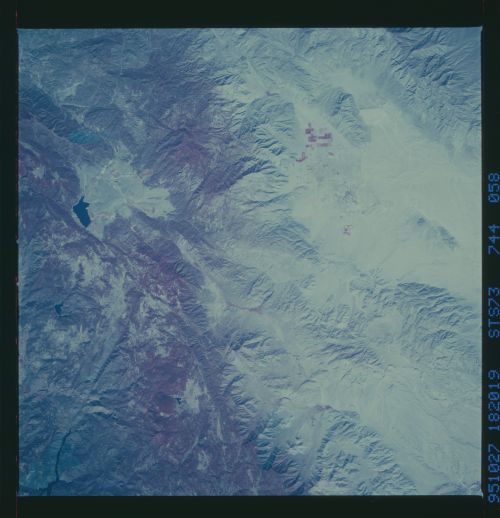
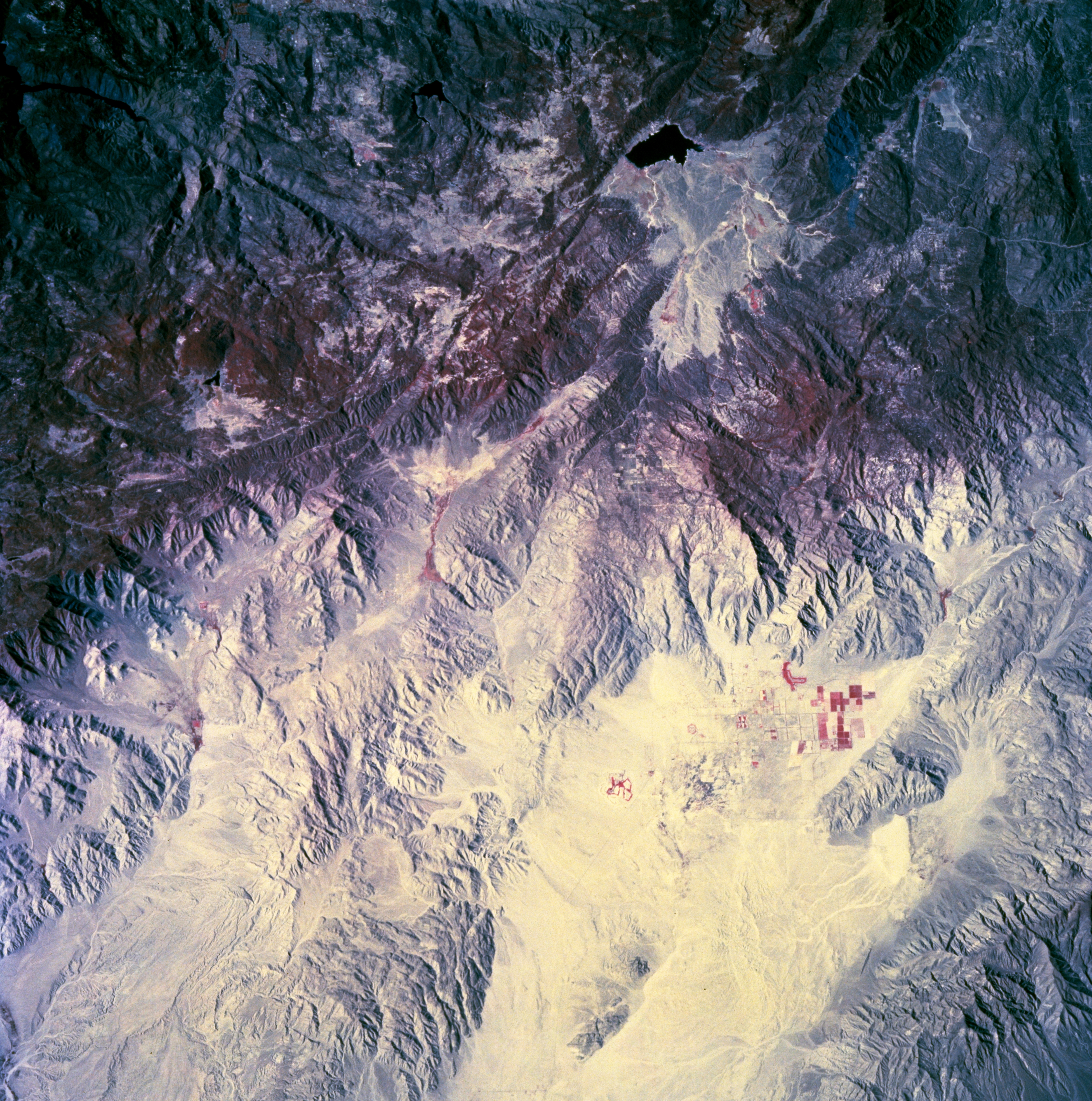
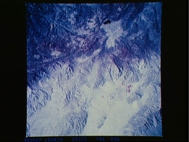
Image Caption: STS073-744-058 Santa Rosa Mountains, Southern California, U.S.A. October 1995
A small section of the Santa Rosa Mountains between San Diego and the Salton Sea is featured in this color infrared, west-looking, low-oblique photograph. The color infrared film displays the sparsely vegetated eastern slopes, a small cluster of cultivated field patterns near the base of the eastern flank, and some forested areas in the higher elevations. Ridge lines vary between 4000 feet (1220 meters) and 6000 feet (1830 meters) above sea level. Discernible are a small lake to the west and several well defined linear fault valleys throughout the mountains.
A small section of the Santa Rosa Mountains between San Diego and the Salton Sea is featured in this color infrared, west-looking, low-oblique photograph. The color infrared film displays the sparsely vegetated eastern slopes, a small cluster of cultivated field patterns near the base of the eastern flank, and some forested areas in the higher elevations. Ridge lines vary between 4000 feet (1220 meters) and 6000 feet (1830 meters) above sea level. Discernible are a small lake to the west and several well defined linear fault valleys throughout the mountains.
