STS073-744-56
| NASA Photo ID | STS073-744-56 |
| Focal Length | 250mm |
| Date taken | 1995.10.27 |
| Time taken | 18:20:12 GMT |
Resolutions offered for this image:
3872 x 3968 pixels 624 x 639 pixels 5700 x 5900 pixels 500 x 518 pixels 640 x 480 pixels
3872 x 3968 pixels 624 x 639 pixels 5700 x 5900 pixels 500 x 518 pixels 640 x 480 pixels

Cloud masks available for this image:
Spacecraft nadir point: 33.0° N, 116.3° W
Photo center point: 32.5° N, 117.0° W
Photo center point by machine learning:
Photo center point: 32.5° N, 117.0° W
Photo center point by machine learning:
Nadir to Photo Center: Southwest
Spacecraft Altitude: 144 nautical miles (267km)
Country or Geographic Name: | USA-CALIFORNIA |
Features: | SAN DIEGO |
| Features Found Using Machine Learning: | |
Cloud Cover Percentage: | 5 (1-10)% |
Sun Elevation Angle: | 41° |
Sun Azimuth: | 157° |
Camera: | Hasselblad |
Focal Length: | 250mm |
Camera Tilt: | 20 degrees |
Format: | 2443: Kodak Aerochrome 2443, color IR, thin base, EA-5 process thru June 1999, E-6 process afterward |
Film Exposure: | Normal |
| Additional Information | |
| Width | Height | Annotated | Cropped | Purpose | Links |
|---|---|---|---|---|---|
| 3872 pixels | 3968 pixels | No | No | Earth From Space collection | Download Image |
| 624 pixels | 639 pixels | No | No | Earth From Space collection | Download Image |
| 5700 pixels | 5900 pixels | No | No | Download Image | |
| 500 pixels | 518 pixels | No | No | Download Image | |
| 640 pixels | 480 pixels | No | No | Download Image |
Download Packaged File
Download a Google Earth KML for this Image
View photo footprint information
Download a GeoTIFF for this photo
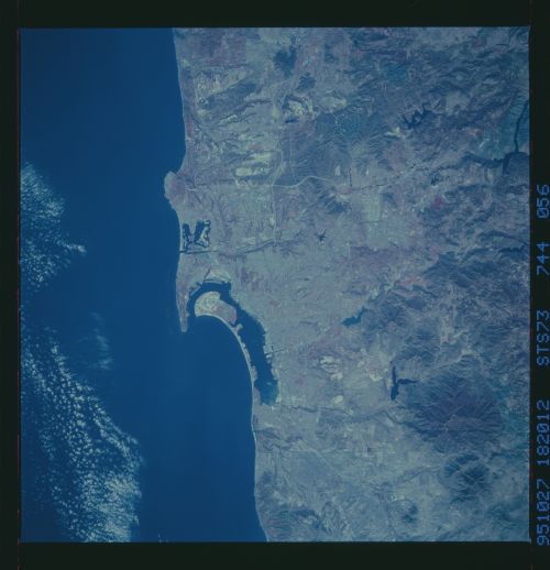
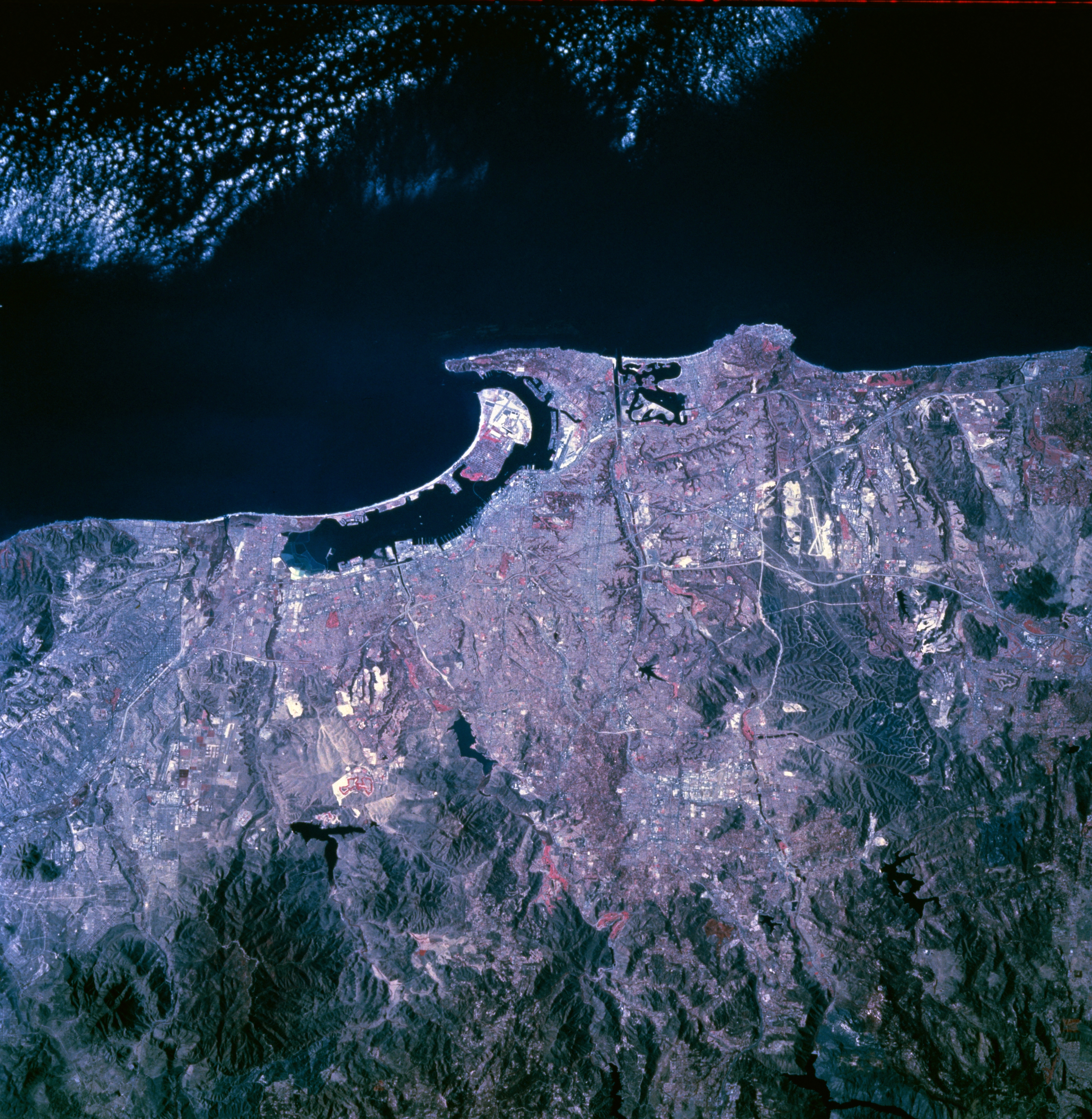
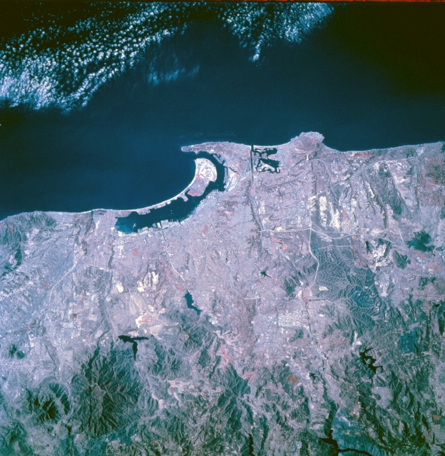
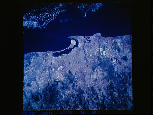
Image Caption: STS073-744-056 San Diego, California, U.S.A. October 1995
Easily discernible are the dramatic contrasts of the land-water boundaries of the Pacific Ocean and the west coast of southern California and the black reservoirs located in the foothills of the low coastal mountains east of San Diego. The northern extension of the curved peninsula that separates San Diego Bay from the Pacific Ocean is North Island. Apparent are aircraft runways of the naval air station on the northern end of the peninsula and the main runway of Lindbergh International Airport north of San Diego Bay. Mission Bay lies farther north along the coast. Some of the larger docks and wharves are visible around the periphery of San Diego Bay. Several open areas, such as golf courses and parks, are easily identified through the use of color infrared film, which maps green vegetation in various shades of red.
Easily discernible are the dramatic contrasts of the land-water boundaries of the Pacific Ocean and the west coast of southern California and the black reservoirs located in the foothills of the low coastal mountains east of San Diego. The northern extension of the curved peninsula that separates San Diego Bay from the Pacific Ocean is North Island. Apparent are aircraft runways of the naval air station on the northern end of the peninsula and the main runway of Lindbergh International Airport north of San Diego Bay. Mission Bay lies farther north along the coast. Some of the larger docks and wharves are visible around the periphery of San Diego Bay. Several open areas, such as golf courses and parks, are easily identified through the use of color infrared film, which maps green vegetation in various shades of red.
