STS073-744-54

| NASA Photo ID | STS073-744-54 |
| Focal Length | 250mm |
| Date taken | 1995.10.27 |
| Time taken | 18:20:05 GMT |
Resolutions offered for this image:
3840 x 3904 pixels 629 x 639 pixels 5700 x 5900 pixels 500 x 518 pixels 640 x 480 pixels
3840 x 3904 pixels 629 x 639 pixels 5700 x 5900 pixels 500 x 518 pixels 640 x 480 pixels

Cloud masks available for this image:
Spacecraft nadir point: 33.2° N, 116.8° W
Photo center point: 33.5° N, 117.5° W
Photo center point by machine learning:
Photo center point: 33.5° N, 117.5° W
Photo center point by machine learning:
Nadir to Photo Center: West
Spacecraft Altitude: 144 nautical miles (267km)
Camera: | Hasselblad |
Focal Length: | 250mm |
Camera Tilt: | 18 degrees |
Format: | 2443: Kodak Aerochrome 2443, color IR, thin base, EA-5 process thru June 1999, E-6 process afterward |
Film Exposure: | Normal |
| Additional Information | |
| Width | Height | Annotated | Cropped | Purpose | Links |
|---|---|---|---|---|---|
| 3840 pixels | 3904 pixels | No | No | Earth From Space collection | Download Image |
| 629 pixels | 639 pixels | No | No | Earth From Space collection | Download Image |
| 5700 pixels | 5900 pixels | No | No | Download Image | |
| 500 pixels | 518 pixels | No | No | Download Image | |
| 640 pixels | 480 pixels | No | No | Download Image |
Download Packaged File
Download a Google Earth KML for this Image
View photo footprint information
Download a GeoTIFF for this photo
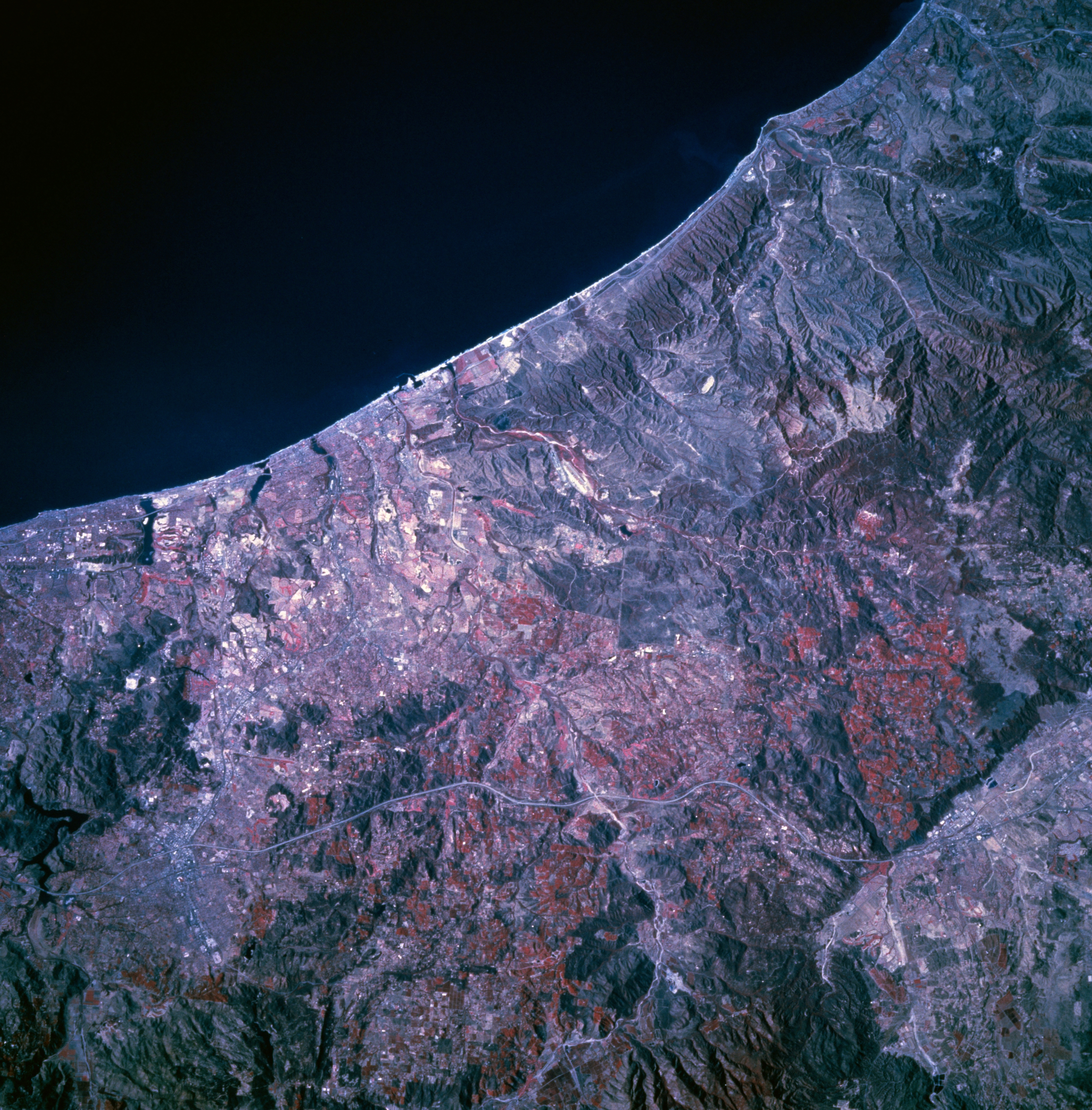
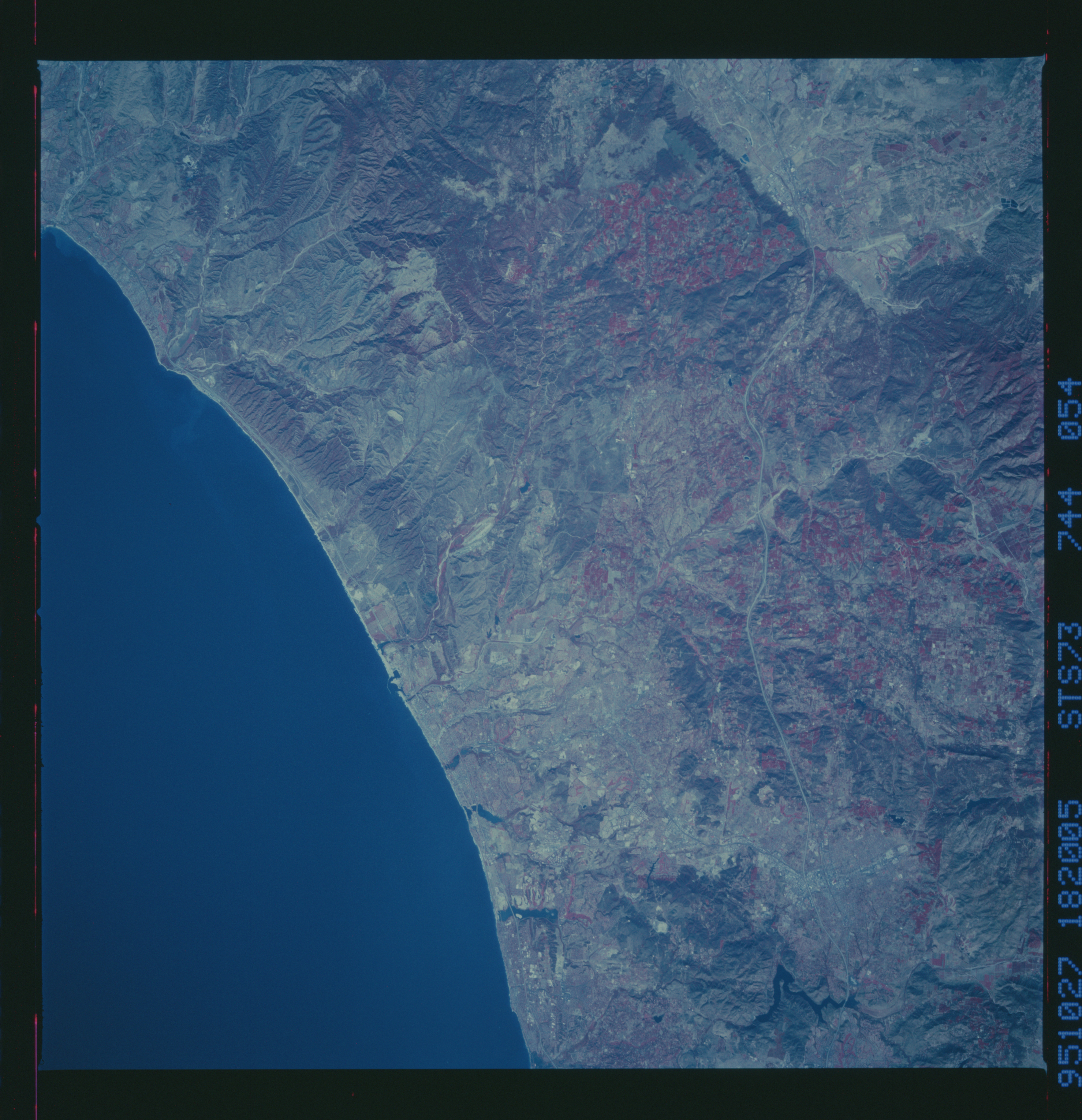
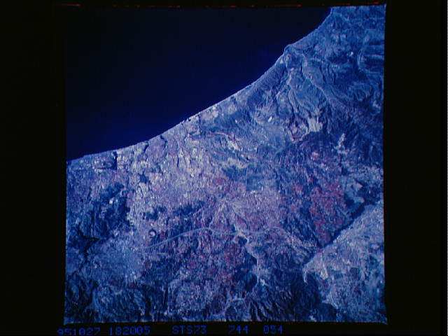
Image Caption: STS073-744-054 Coastal Area Between Los Angeles and San Diego, California, U.S.A. October 1995
The nonreflective, black surface of the Pacific Ocean creates a sharp boundary along the southern California coastline. This inherent characteristic of color infrared film helps to identify several small estuaries along the coast. A small color change (gray with little sign of vegetation) exists near Camp Pendleton Marine Corps Base. Discernible are parts of Interstate Highway 5, which parallels the coast, and Interstate Highway 15, a north-south highway connecting San Diego and Riverside. Part of the street grid pattern of Escondido lies adjacent to Interstate Highway 15, which is evident near the southern edge of the photograph.
The nonreflective, black surface of the Pacific Ocean creates a sharp boundary along the southern California coastline. This inherent characteristic of color infrared film helps to identify several small estuaries along the coast. A small color change (gray with little sign of vegetation) exists near Camp Pendleton Marine Corps Base. Discernible are parts of Interstate Highway 5, which parallels the coast, and Interstate Highway 15, a north-south highway connecting San Diego and Riverside. Part of the street grid pattern of Escondido lies adjacent to Interstate Highway 15, which is evident near the southern edge of the photograph.
