STS073-744-45
| NASA Photo ID | STS073-744-45 |
| Focal Length | 250mm |
| Date taken | 1995.10.27 |
| Time taken | 18:19:22 GMT |
Resolutions offered for this image:
3936 x 3872 pixels 639 x 629 pixels 5700 x 5900 pixels 500 x 518 pixels 640 x 480 pixels
3936 x 3872 pixels 639 x 629 pixels 5700 x 5900 pixels 500 x 518 pixels 640 x 480 pixels

Cloud masks available for this image:
Spacecraft nadir point: 34.2° N, 119.8° W
Photo center point: 34.5° N, 120.0° W
Photo center point by machine learning:
Photo center point: 34.5° N, 120.0° W
Photo center point by machine learning:
Nadir to Photo Center: Northwest
Spacecraft Altitude: 144 nautical miles (267km)
Country or Geographic Name: | USA-CALIFORNIA |
Features: | COAST, SANTA YNEZ MTS., R. |
| Features Found Using Machine Learning: | |
Cloud Cover Percentage: | 0 (no clouds present) |
Sun Elevation Angle: | 39° |
Sun Azimuth: | 153° |
Camera: | Hasselblad |
Focal Length: | 250mm |
Camera Tilt: | 9 degrees |
Format: | 2443: Kodak Aerochrome 2443, color IR, thin base, EA-5 process thru June 1999, E-6 process afterward |
Film Exposure: | Normal |
| Additional Information | |
| Width | Height | Annotated | Cropped | Purpose | Links |
|---|---|---|---|---|---|
| 3936 pixels | 3872 pixels | No | No | Earth From Space collection | Download Image |
| 639 pixels | 629 pixels | No | No | Earth From Space collection | Download Image |
| 5700 pixels | 5900 pixels | No | No | Download Image | |
| 500 pixels | 518 pixels | No | No | Download Image | |
| 640 pixels | 480 pixels | No | No | Download Image |
Download Packaged File
Download a Google Earth KML for this Image
View photo footprint information
Download a GeoTIFF for this photo
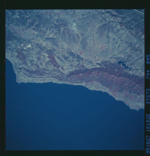
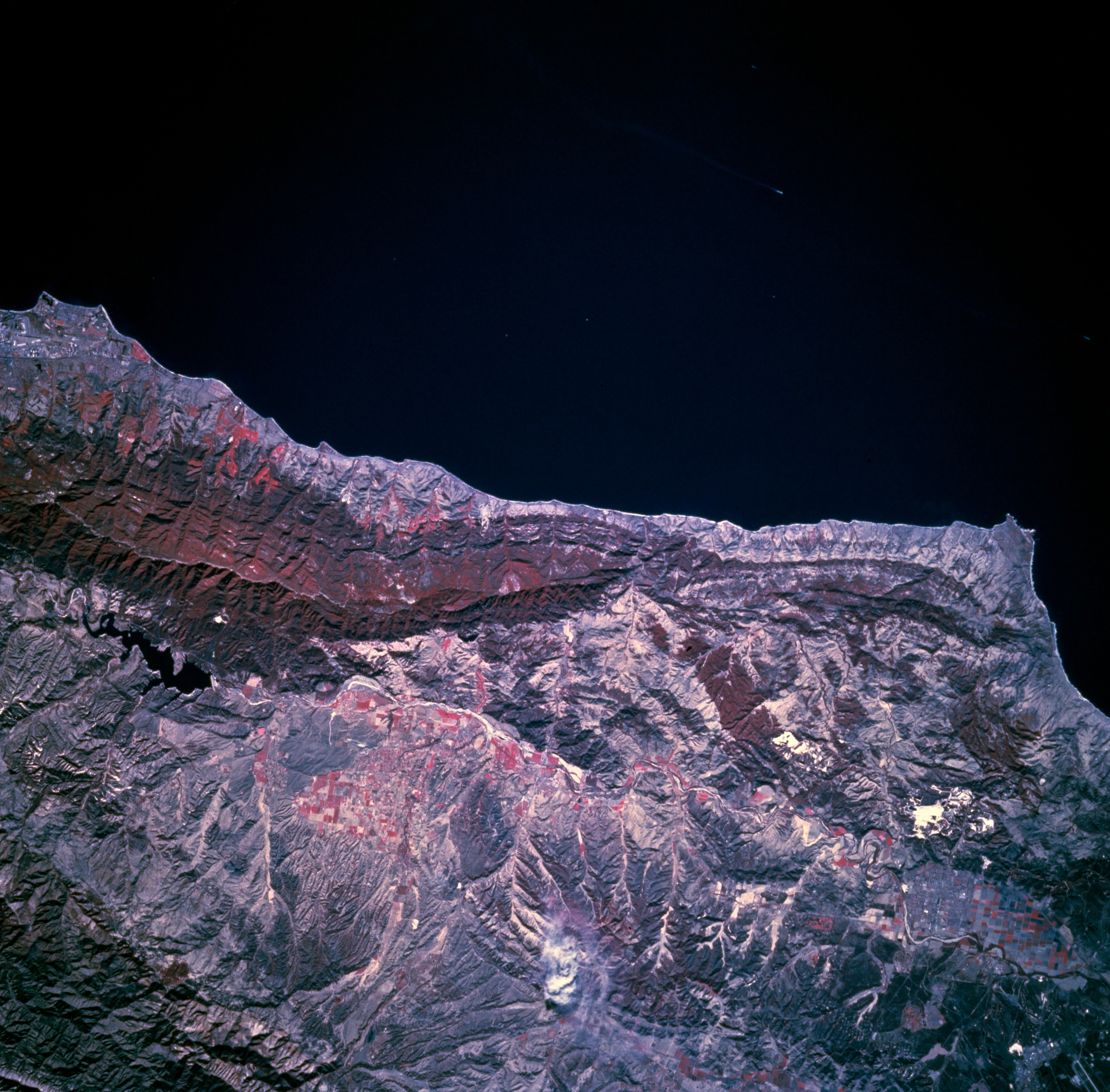
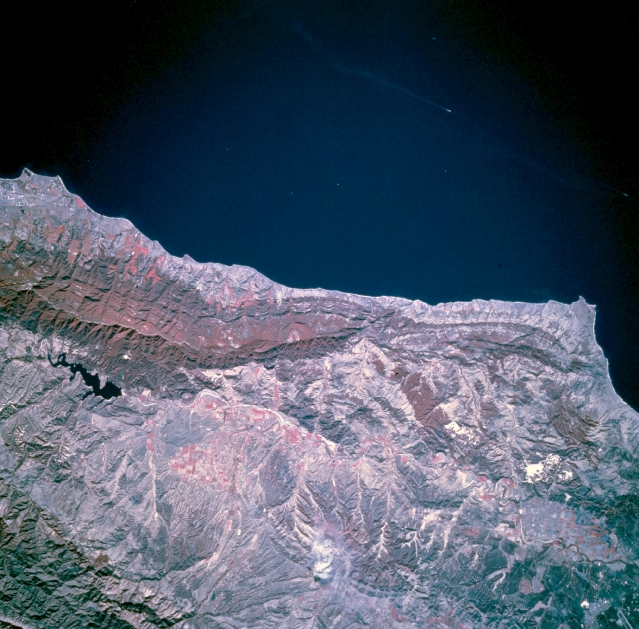
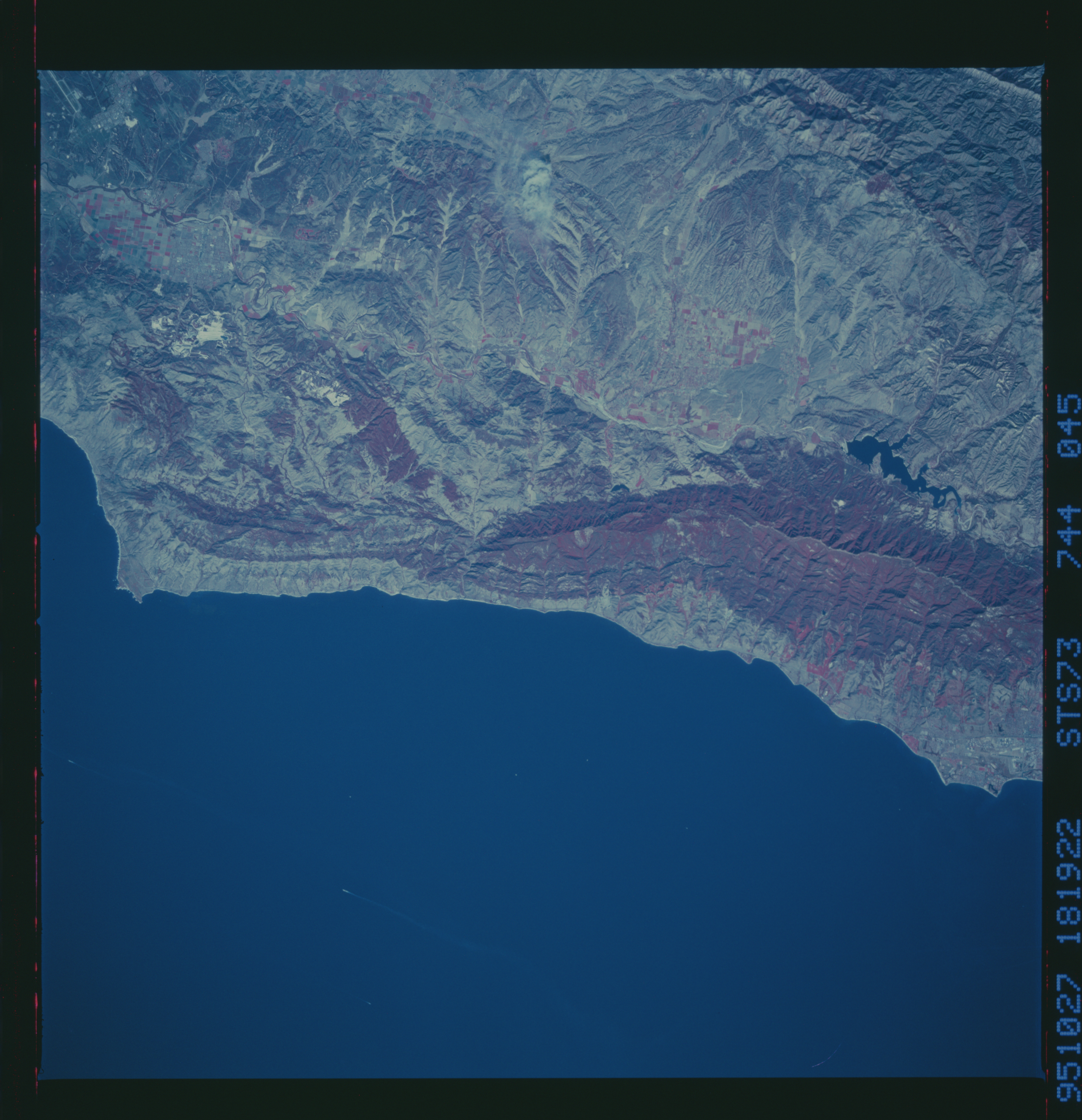
Image Caption: STS073-744-045 Santa Ynez Mountains and River Valley, California, U.S.A. November 1995
The Santa Ynez River meanders generally westward between the San Rafael Mountains to the north and the Santa Ynez Mountains to the south--the narrow, densely vegetated mountains (concentrations of deep red) that parallel the coast, immediately north of which is elongated Lake Cachuma (black, irregularly shaped feature), part of the Santa Ynez River Basin. The reds (green vegetation) in the valleys provide evidence of cultivated fields. Point Conception is the promontory in the Pacific Ocean along the southwest coast.
The Santa Ynez River meanders generally westward between the San Rafael Mountains to the north and the Santa Ynez Mountains to the south--the narrow, densely vegetated mountains (concentrations of deep red) that parallel the coast, immediately north of which is elongated Lake Cachuma (black, irregularly shaped feature), part of the Santa Ynez River Basin. The reds (green vegetation) in the valleys provide evidence of cultivated fields. Point Conception is the promontory in the Pacific Ocean along the southwest coast.
