STS073-742-66
| NASA Photo ID | STS073-742-66 |
| Focal Length | 250mm |
| Date taken | 1995.10.26 |
| Time taken | 18:22:20 GMT |
Resolutions offered for this image:
3904 x 3904 pixels 639 x 639 pixels 5700 x 5900 pixels 500 x 518 pixels 640 x 480 pixels 3431 x 3369 pixels
3904 x 3904 pixels 639 x 639 pixels 5700 x 5900 pixels 500 x 518 pixels 640 x 480 pixels 3431 x 3369 pixels


Cloud masks available for this image:
Spacecraft nadir point: 36.0° N, 119.4° W
Photo center point: 36.5° N, 120.0° W
Photo center point by machine learning:
Photo center point: 36.5° N, 120.0° W
Photo center point by machine learning:
Nadir to Photo Center: Northwest
Spacecraft Altitude: 144 nautical miles (267km)
Country or Geographic Name: | USA-CALIFORNIA |
Features: | SAN JOAQUIN V, AGR, CITIES |
| Features Found Using Machine Learning: | |
Cloud Cover Percentage: | 0 (no clouds present) |
Sun Elevation Angle: | 38° |
Sun Azimuth: | 155° |
Camera: | Hasselblad |
Focal Length: | 250mm |
Camera Tilt: | 18 degrees |
Format: | 2443: Kodak Aerochrome 2443, color IR, thin base, EA-5 process thru June 1999, E-6 process afterward |
Film Exposure: | Normal |
| Additional Information | |
| Width | Height | Annotated | Cropped | Purpose | Links |
|---|---|---|---|---|---|
| 3904 pixels | 3904 pixels | No | No | Earth From Space collection | Download Image |
| 639 pixels | 639 pixels | No | No | Earth From Space collection | Download Image |
| 5700 pixels | 5900 pixels | No | No | Download Image | |
| 500 pixels | 518 pixels | No | No | Download Image | |
| 640 pixels | 480 pixels | No | No | Download Image | |
| 3431 pixels | 3369 pixels | Download Image |
Download Packaged File
Download a Google Earth KML for this Image
View photo footprint information
Download a GeoTIFF for this photo
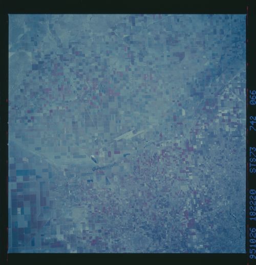
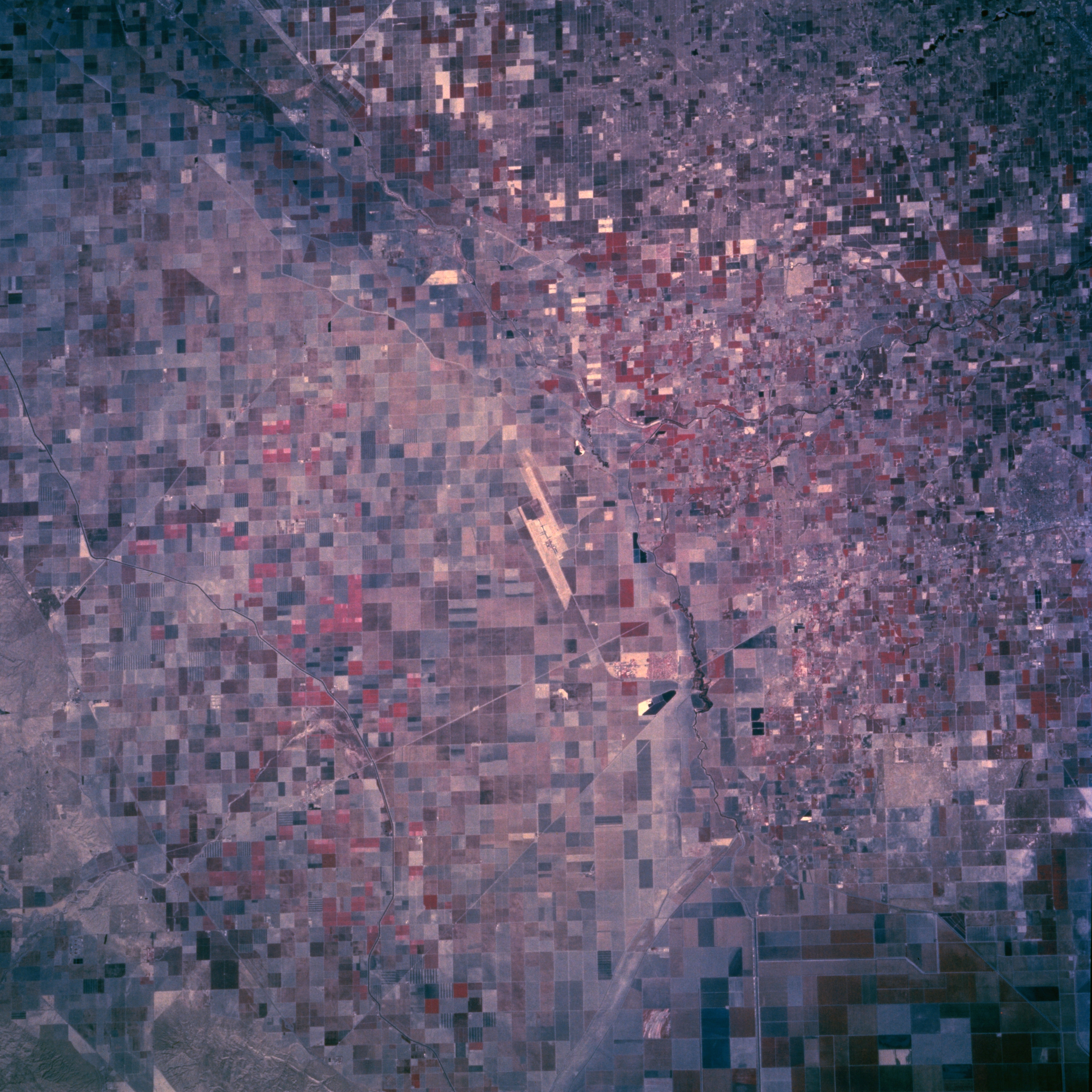
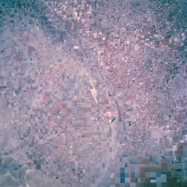
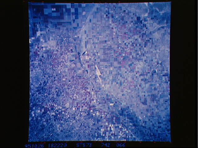
Image Caption: STS073-742-066 Hanford Area, California, U.S.A. October 1995
The color infrared film used for this photograph, presenting green vegetation as red, features the vegetation and field patterns in this agricultural region around Hanford in the San Joaquin Valley. An extensive network of irrigation ditches and canals provides sufficient water to create productive farmland in this otherwise arid landscape. The dual runways of Lemoore Naval Air Station are visible near the center of the photograph. (Refer to STS-073-711-045, a natural color photograph that shows the same general area.)
The color infrared film used for this photograph, presenting green vegetation as red, features the vegetation and field patterns in this agricultural region around Hanford in the San Joaquin Valley. An extensive network of irrigation ditches and canals provides sufficient water to create productive farmland in this otherwise arid landscape. The dual runways of Lemoore Naval Air Station are visible near the center of the photograph. (Refer to STS-073-711-045, a natural color photograph that shows the same general area.)
