STS073-740-61
| NASA Photo ID | STS073-740-61 |
| Focal Length | 250mm |
| Date taken | 1995.10.23 |
| Time taken | 20:06:31 GMT |
Resolutions offered for this image:
4056 x 4095 pixels 794 x 790 pixels 5700 x 5900 pixels 4095 x 4056 pixels 500 x 518 pixels 640 x 480 pixels
4056 x 4095 pixels 794 x 790 pixels 5700 x 5900 pixels 4095 x 4056 pixels 500 x 518 pixels 640 x 480 pixels


Cloud masks available for this image:
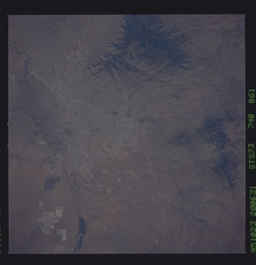
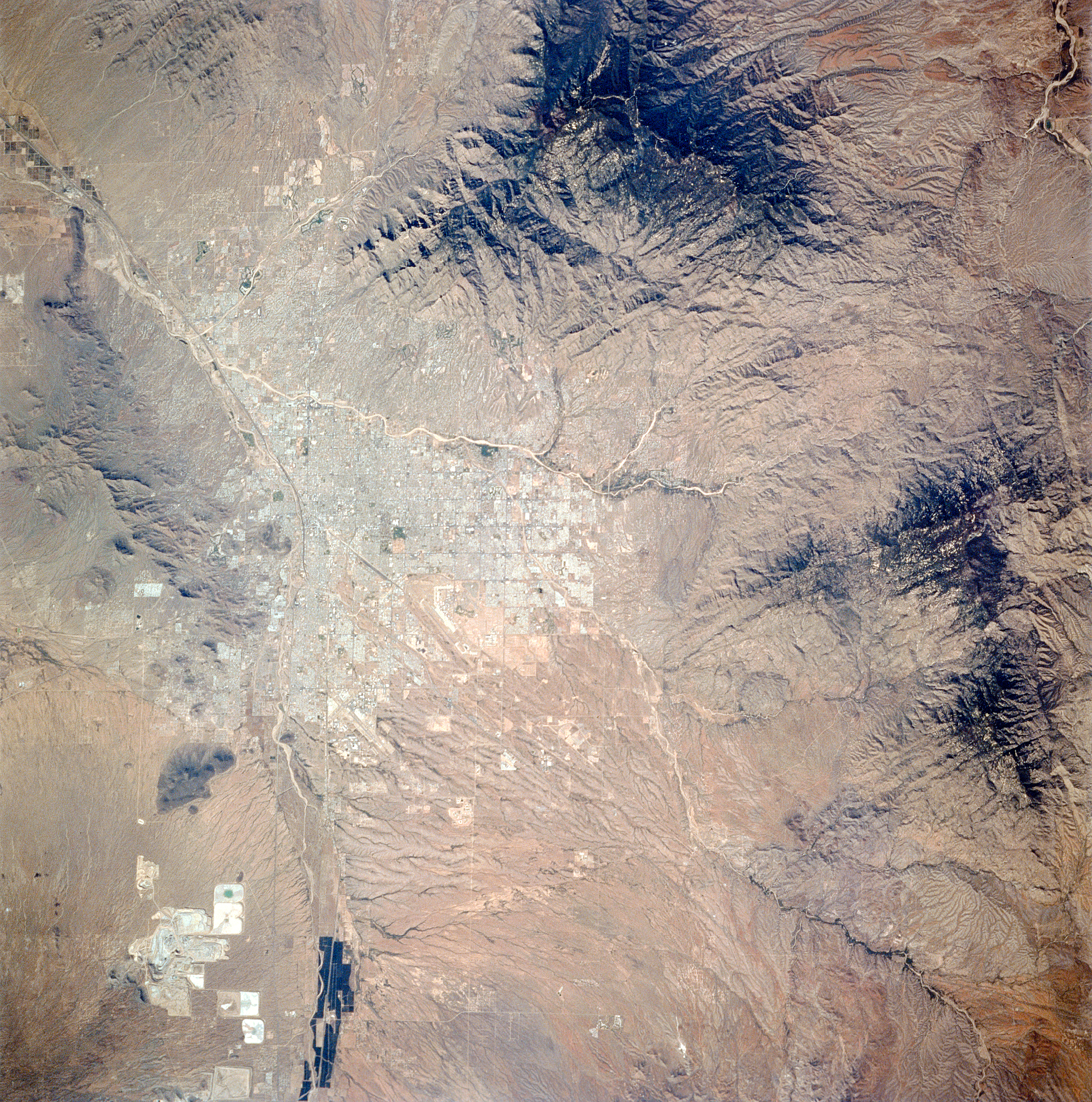
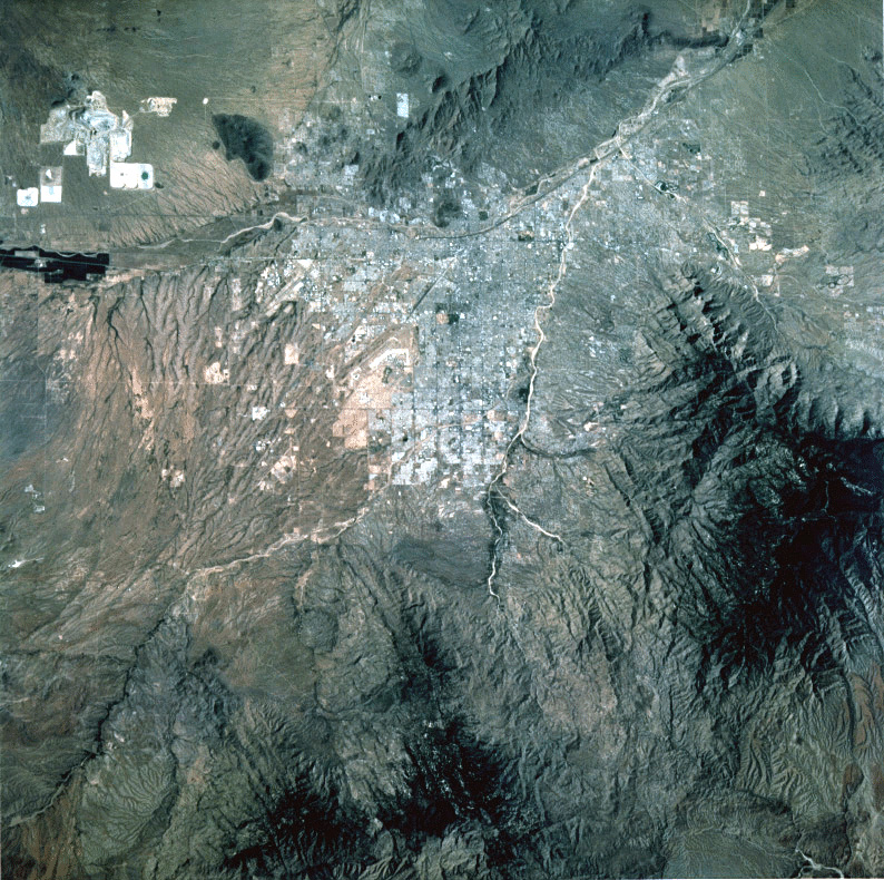
Spacecraft nadir point: 31.9° N, 109.7° W
Photo center point: 32.5° N, 111.0° W
Photo center point by machine learning:
Photo center point: 32.5° N, 111.0° W
Photo center point by machine learning:
Nadir to Photo Center: West
Spacecraft Altitude: 146 nautical miles (270km)
Camera: | Hasselblad |
Focal Length: | 250mm |
Camera Tilt: | 31 degrees |
Format: | 5046: Kodak, natural color positive, Lumiere 100/5046, ASA 100, standard base |
Film Exposure: | Normal |
| Additional Information | |
| Width | Height | Annotated | Cropped | Purpose | Links |
|---|---|---|---|---|---|
| 4056 pixels | 4095 pixels | Cities collection | Download Image | ||
| 794 pixels | 790 pixels | No | No | Cities collection | Download Image |
| 5700 pixels | 5900 pixels | No | No | Download Image | |
| 4095 pixels | 4056 pixels | No | No | Download Image | |
| 500 pixels | 518 pixels | No | No | Download Image | |
| 640 pixels | 480 pixels | No | No | Download Image |
Download Packaged File
Download a Google Earth KML for this Image
View photo footprint information
Download a GeoTIFF for this photo
Image Caption: none
