STS073-740-26
| NASA Photo ID | STS073-740-26 |
| Focal Length | 250mm |
| Date taken | 1995.10.23 |
| Time taken | 18:32:48 GMT |
Resolutions offered for this image:
3931 x 3895 pixels 640 x 634 pixels 5700 x 5900 pixels 500 x 518 pixels 640 x 480 pixels
3931 x 3895 pixels 640 x 634 pixels 5700 x 5900 pixels 500 x 518 pixels 640 x 480 pixels

Cloud masks available for this image:
Spacecraft nadir point: 37.1° N, 103.9° W
Photo center point: 37.5° N, 105.5° W
Photo center point by machine learning:
Photo center point: 37.5° N, 105.5° W
Photo center point by machine learning:
Nadir to Photo Center: West
Spacecraft Altitude: 146 nautical miles (270km)
Camera: | Hasselblad |
Focal Length: | 250mm |
Camera Tilt: | 34 degrees |
Format: | 5046: Kodak, natural color positive, Lumiere 100/5046, ASA 100, standard base |
Film Exposure: | Normal |
| Additional Information | |
| Width | Height | Annotated | Cropped | Purpose | Links |
|---|---|---|---|---|---|
| 3931 pixels | 3895 pixels | No | No | Earth From Space collection | Download Image |
| 640 pixels | 634 pixels | No | No | Earth From Space collection | Download Image |
| 5700 pixels | 5900 pixels | No | No | Download Image | |
| 500 pixels | 518 pixels | No | No | Download Image | |
| 640 pixels | 480 pixels | No | No | Download Image |
Download Packaged File
Download a Google Earth KML for this Image
View photo footprint information
Download a GeoTIFF for this photo
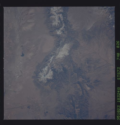
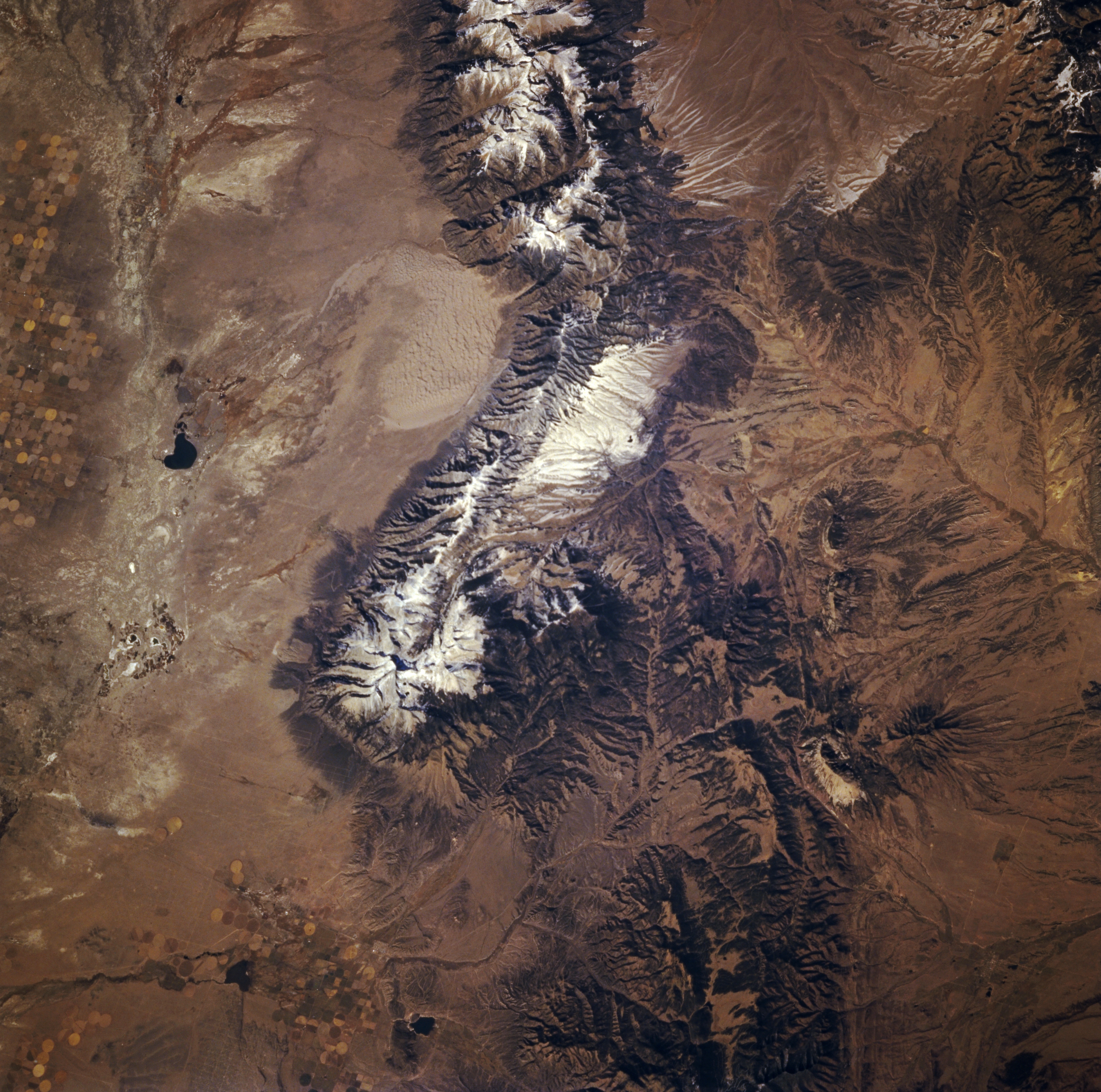
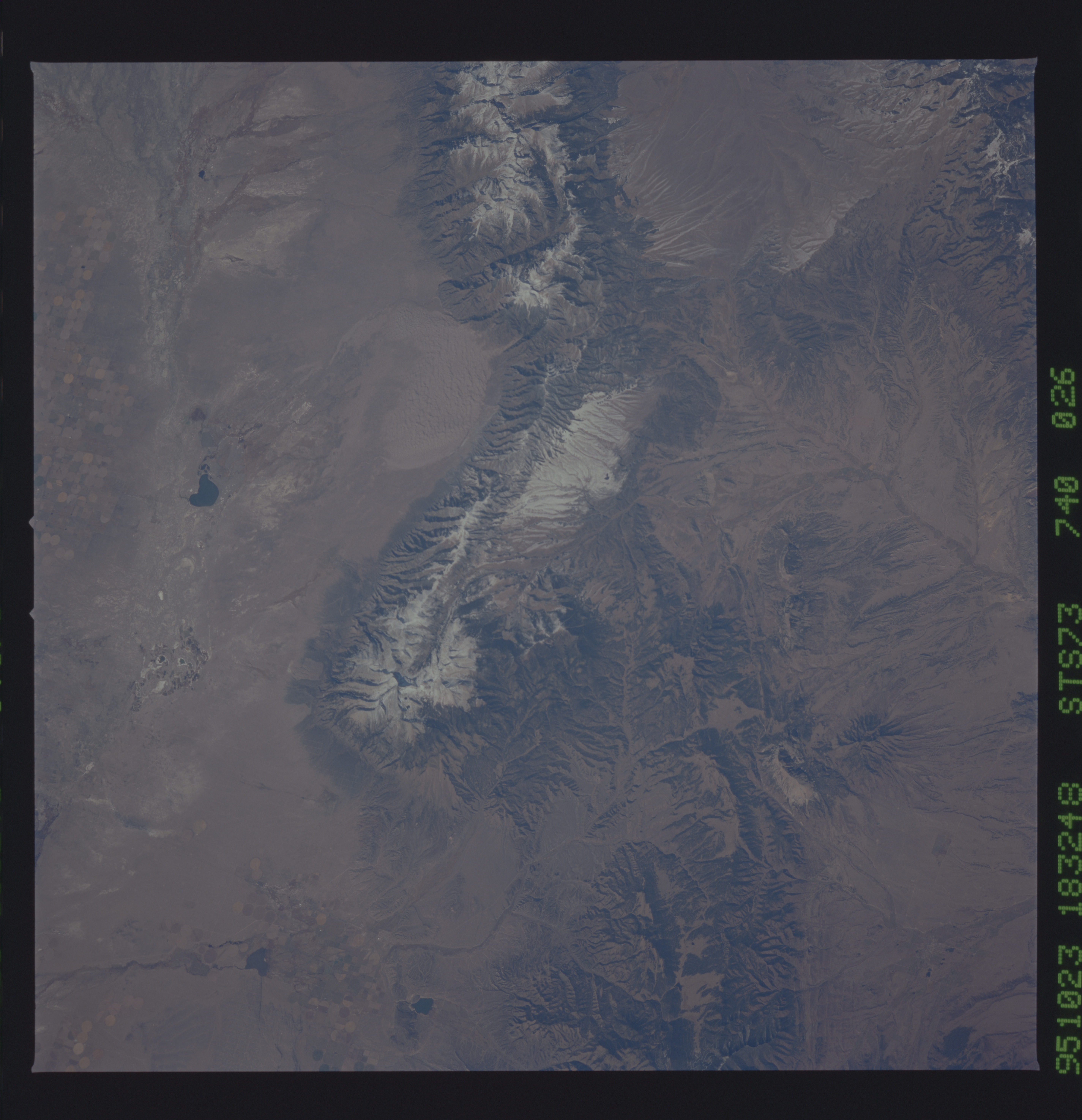
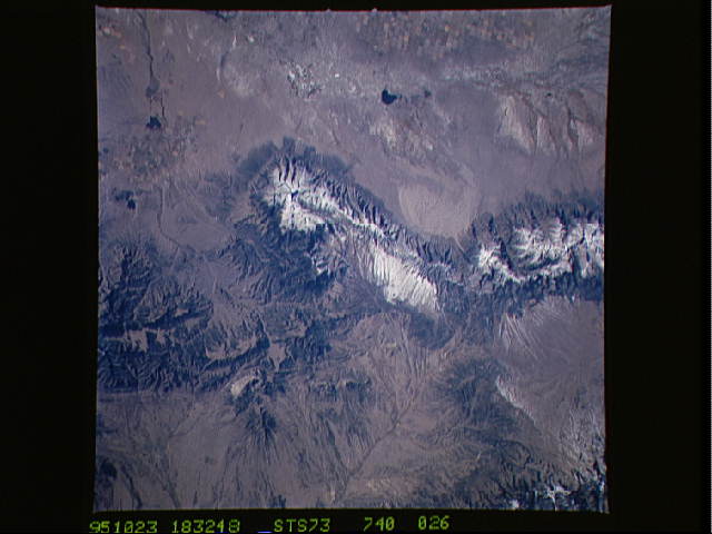
Image Caption: STS073-740-026 Sangre de Cristo Mountains, Colorado, U.S.A. October 1995
A section of the northwest-southeast-trending, partially snow-covered Sangre de Cristo Mountains is featured in this photograph of south-central Colorado. Visible are Great Sand Dunes National Monument west of the range (top of photograph); Blanca Peak, the roughly circular, snow-covered peak [14 345 feet (4372 meters) above sea level] at the southern end of this section of the mountains; and San Luis Creek, the north-south-trending drainage feature to the west, within which lies dark San Luis Lake. The distinctive dendritic drainage pattern east of the range of mountains is part of the Huerfano River Basin that drains eastward, eventually flowing into the Arkansas River east of Pueblo.
A section of the northwest-southeast-trending, partially snow-covered Sangre de Cristo Mountains is featured in this photograph of south-central Colorado. Visible are Great Sand Dunes National Monument west of the range (top of photograph); Blanca Peak, the roughly circular, snow-covered peak [14 345 feet (4372 meters) above sea level] at the southern end of this section of the mountains; and San Luis Creek, the north-south-trending drainage feature to the west, within which lies dark San Luis Lake. The distinctive dendritic drainage pattern east of the range of mountains is part of the Huerfano River Basin that drains eastward, eventually flowing into the Arkansas River east of Pueblo.
