STS073-726-73
| NASA Photo ID | STS073-726-73 |
| Focal Length | 100mm |
| Date taken | 1995.__.__ |
| Time taken | GMT |
Resolutions offered for this image:
3904 x 3901 pixels 639 x 639 pixels 5700 x 5900 pixels 500 x 518 pixels 640 x 480 pixels
3904 x 3901 pixels 639 x 639 pixels 5700 x 5900 pixels 500 x 518 pixels 640 x 480 pixels

Cloud masks available for this image:
Spacecraft nadir point:
Photo center point: 35.0° N, 118.0° W
Photo center point by machine learning:
Photo center point: 35.0° N, 118.0° W
Photo center point by machine learning:
Nadir to Photo Center:
Spacecraft Altitude: nautical miles (0km)
Country or Geographic Name: | USA-CALIFORNIA |
Features: | MOJAVE DES., EDWARDS AFB |
| Features Found Using Machine Learning: | |
Cloud Cover Percentage: | 5 (1-10)% |
Sun Elevation Angle: | ° |
Sun Azimuth: | ° |
Camera: | Hasselblad |
Focal Length: | 100mm |
Camera Tilt: | Low Oblique |
Format: | 5046: Kodak, natural color positive, Lumiere 100/5046, ASA 100, standard base |
Film Exposure: | Normal |
| Additional Information | |
| Width | Height | Annotated | Cropped | Purpose | Links |
|---|---|---|---|---|---|
| 3904 pixels | 3901 pixels | No | No | Earth From Space collection | Download Image |
| 639 pixels | 639 pixels | No | No | Earth From Space collection | Download Image |
| 5700 pixels | 5900 pixels | No | No | Download Image | |
| 500 pixels | 518 pixels | No | No | Download Image | |
| 640 pixels | 480 pixels | No | No | Download Image |
Download Packaged File
Download a Google Earth KML for this Image
View photo footprint information
Download a GeoTIFF for this photo
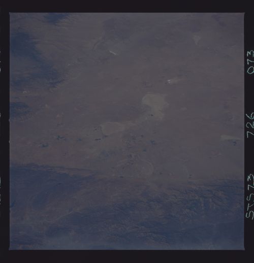
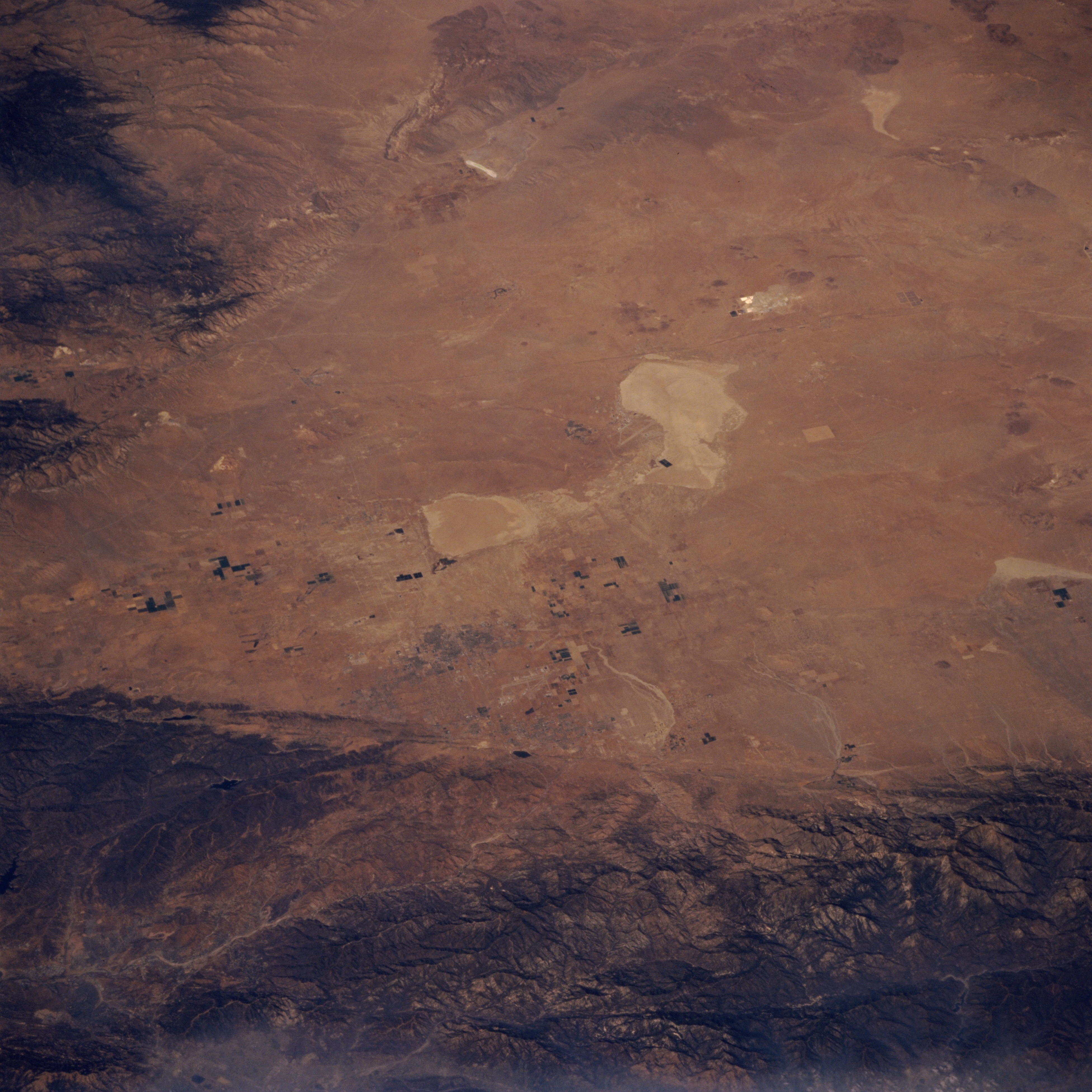
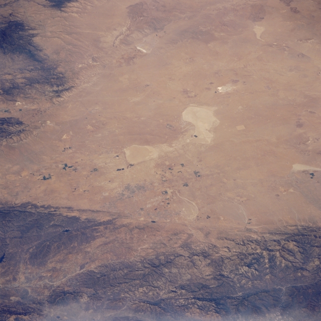
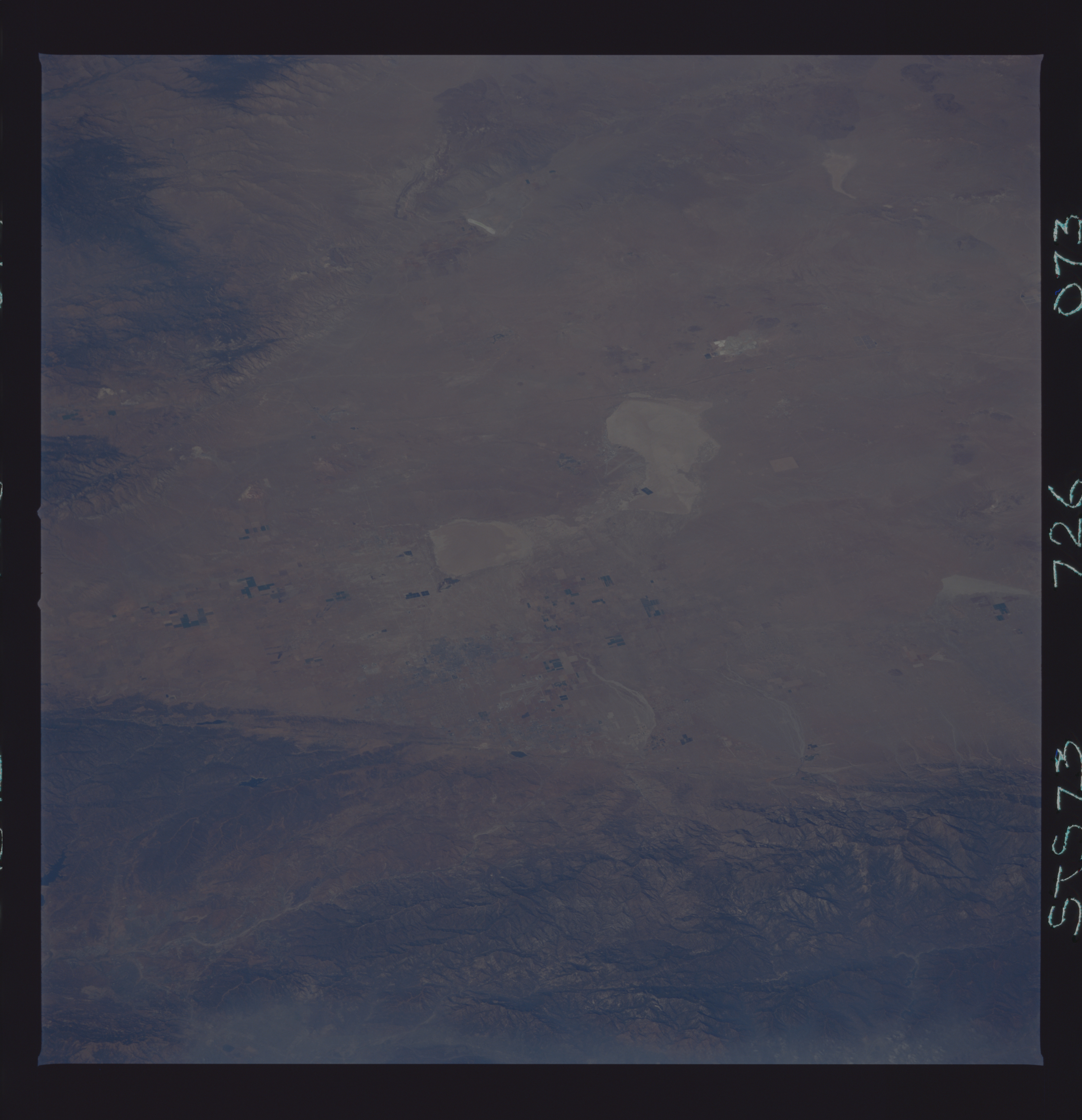
Image Caption: STS073-726-073 Mojave Desert and Edwards Air Force Base, California, U.S.A. October 1995
The subdued colors of Rogers Dry Lake, Rosamond Dry Lake, and Edwards Air Force Base are discernible near the center of the photograph. Also visible are part of the western Mojave Desert--known locally as Antelope Valley--and several irrigated, rectangular field patterns. The San Andreas Fault traverses the northeastern flank of the San Gabriel Mountains.
The subdued colors of Rogers Dry Lake, Rosamond Dry Lake, and Edwards Air Force Base are discernible near the center of the photograph. Also visible are part of the western Mojave Desert--known locally as Antelope Valley--and several irrigated, rectangular field patterns. The San Andreas Fault traverses the northeastern flank of the San Gabriel Mountains.
