STS073-726-46
| NASA Photo ID | STS073-726-46 |
| Focal Length | 250mm |
| Date taken | 1995.__.__ |
| Time taken | GMT |
Cloud masks available for this image:
Spacecraft nadir point:
Photo center point: 29.5° N, 91.5° W
Photo center point by machine learning:
Photo center point: 29.5° N, 91.5° W
Photo center point by machine learning:
Nadir to Photo Center:
Spacecraft Altitude: nautical miles (0km)
Country or Geographic Name: | USA-LOUISIANA |
Features: | ATCHAFALAYA RIVER DELTA |
| Features Found Using Machine Learning: | |
Cloud Cover Percentage: | 5 (1-10)% |
Sun Elevation Angle: | ° |
Sun Azimuth: | ° |
Camera: | Hasselblad |
Focal Length: | 250mm |
Camera Tilt: | Low Oblique |
Format: | 5046: Kodak, natural color positive, Lumiere 100/5046, ASA 100, standard base |
Film Exposure: | Normal |
| Additional Information | |
| Width | Height | Annotated | Cropped | Purpose | Links |
|---|---|---|---|---|---|
| 5700 pixels | 5900 pixels | No | No | Download Image | |
| 500 pixels | 518 pixels | No | No | Download Image | |
| 640 pixels | 480 pixels | No | No | Download Image |
Download Packaged File
Download a Google Earth KML for this Image
View photo footprint information
Download a GeoTIFF for this photo
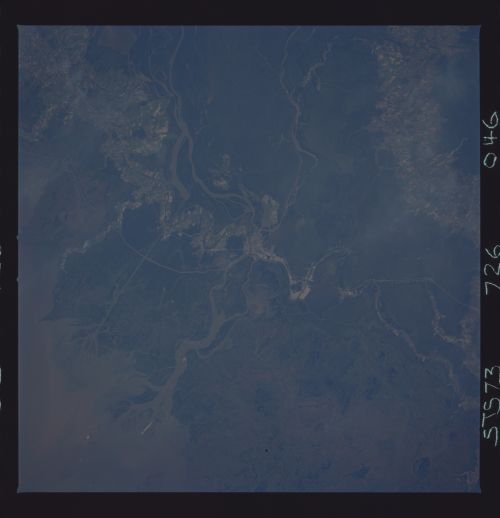
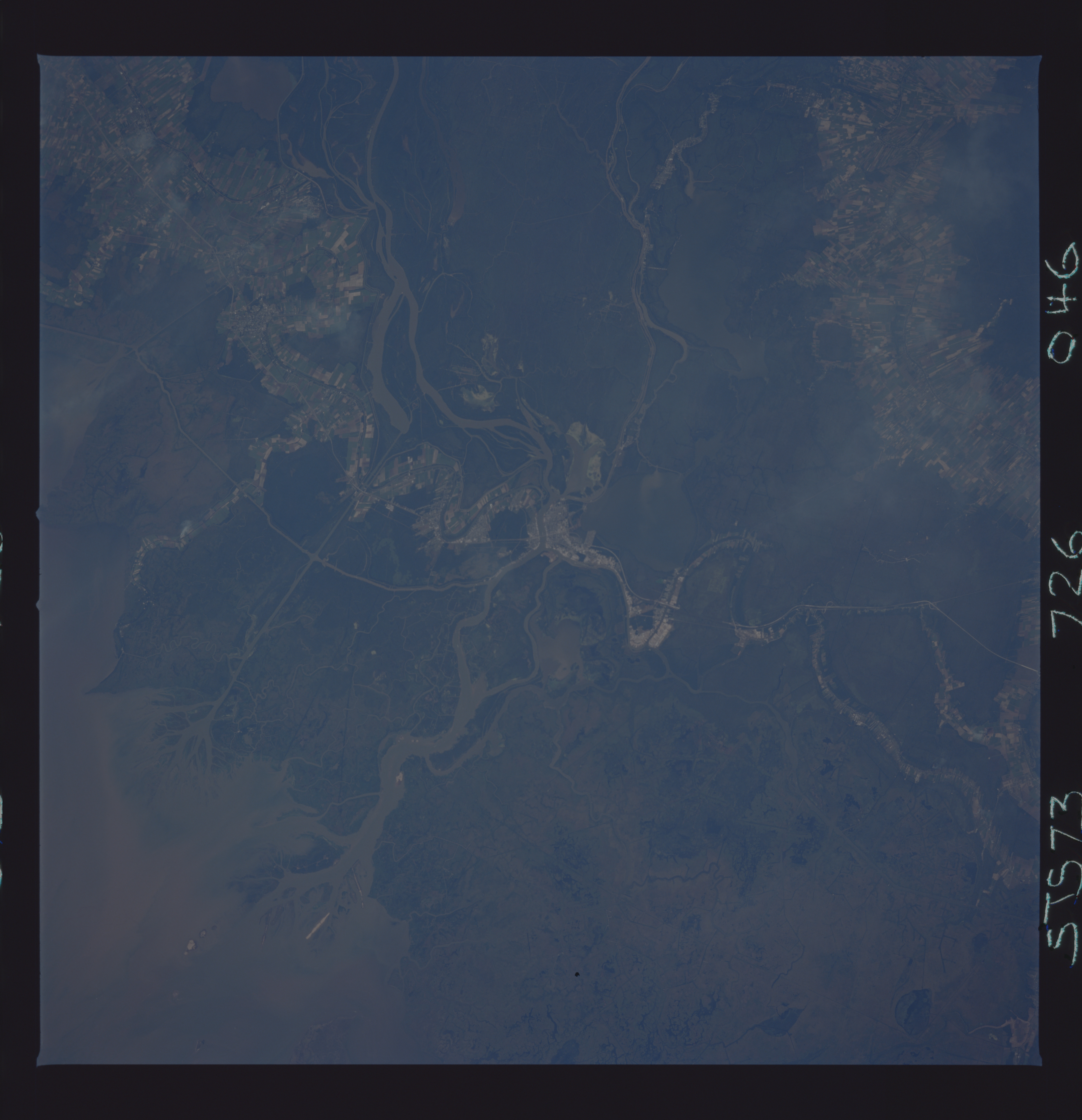
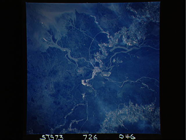
Image Caption: Morgan City Louisiana and the lower Atchafalaya River
area. The Atchafalaya River is where the Mississippi River would like
to form its new mouth. It is 300 kilometers closer to the gulf than
the current mouth. Currently the Army Corps of Engineers is working
above Baton Rouge to prevent this from occurring. #0 per cent of the
Mississippi basin sediment is being channeled down the Atchafalaya
River and is forming new deltas. The very straight waterway going
South from Morgan City was dug because the lower river was too
difficult to dredge because of the sediment flow. A delta is now
forming at its mouth also.
