STS073-726-31

| NASA Photo ID | STS073-726-31 |
| Focal Length | 250mm |
| Date taken | 1995.__.__ |
| Time taken | GMT |
Resolutions offered for this image:
3904 x 3907 pixels 639 x 640 pixels 5700 x 5900 pixels 500 x 518 pixels 640 x 480 pixels
3904 x 3907 pixels 639 x 640 pixels 5700 x 5900 pixels 500 x 518 pixels 640 x 480 pixels
Cloud masks available for this image:
Spacecraft nadir point:
Photo center point: 33.0° N, 94.0° W
Photo center point by machine learning:
Photo center point: 33.0° N, 94.0° W
Photo center point by machine learning:
Nadir to Photo Center:
Spacecraft Altitude: nautical miles (0km)
Country or Geographic Name: | USA-LOUISIANA |
Features: | RED RIVER, AGRICULTURE, RES. |
| Features Found Using Machine Learning: | |
Cloud Cover Percentage: | 0 (no clouds present) |
Sun Elevation Angle: | ° |
Sun Azimuth: | ° |
Camera: | Hasselblad |
Focal Length: | 250mm |
Camera Tilt: | Low Oblique |
Format: | 5046: Kodak, natural color positive, Lumiere 100/5046, ASA 100, standard base |
Film Exposure: | Normal |
| Additional Information | |
| Width | Height | Annotated | Cropped | Purpose | Links |
|---|---|---|---|---|---|
| 3904 pixels | 3907 pixels | No | No | Earth From Space collection | Download Image |
| 639 pixels | 640 pixels | No | No | Earth From Space collection | Download Image |
| 5700 pixels | 5900 pixels | No | No | Download Image | |
| 500 pixels | 518 pixels | No | No | Download Image | |
| 640 pixels | 480 pixels | No | No | Download Image |
Download Packaged File
Download a Google Earth KML for this Image
View photo footprint information
Download a GeoTIFF for this photo
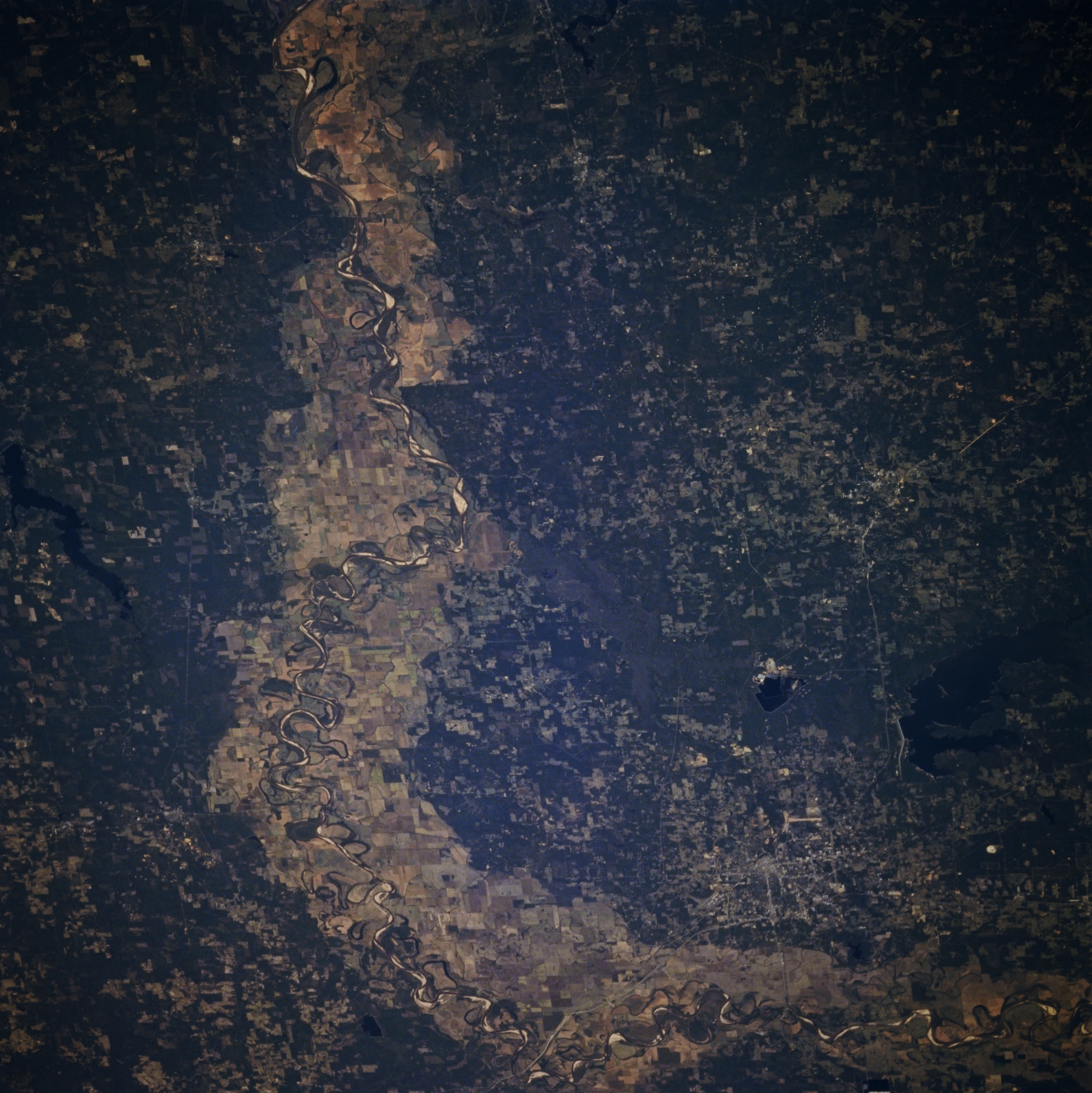
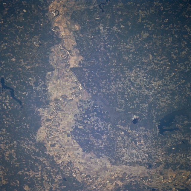
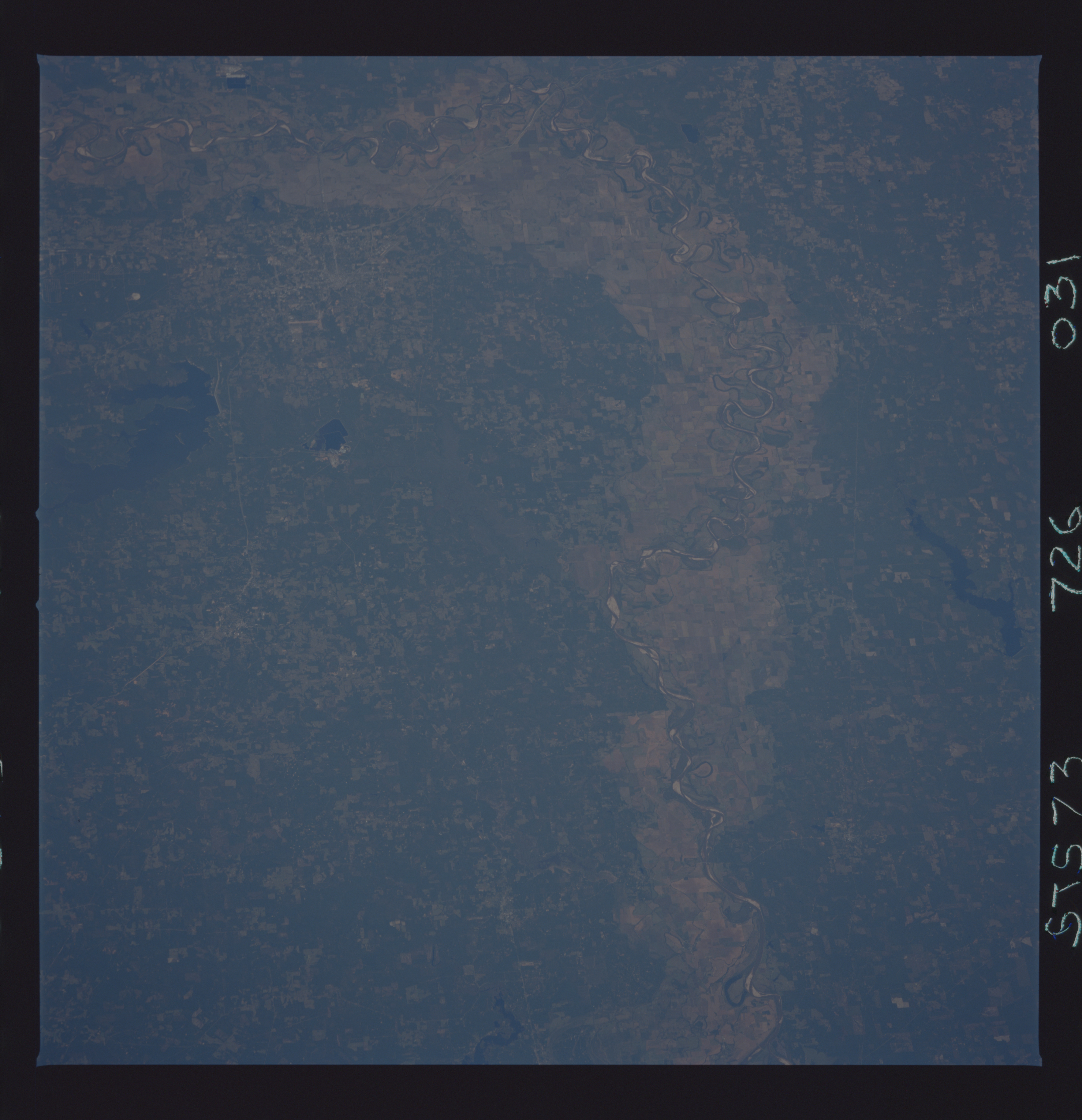
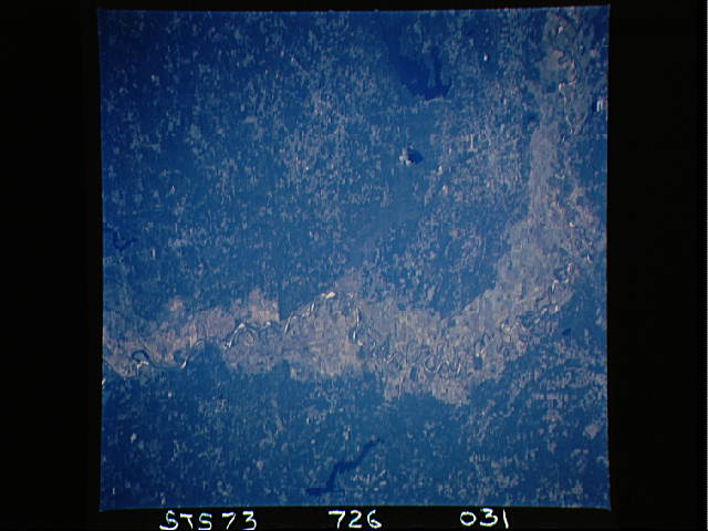
Image Caption: STS073-726-031 Red River Valley, Northwest Louisiana, U.S.A. October 1995
The most dramatic feature of this south-looking photograph is the broad, largely cultivated floodplain of the Red River as it makes a 90-degree course change from east to south just east of Texarkana. Highly reflective sandbars, spaced randomly along the main channel of the river, allow it to be traced across the floodplain. Visible are large, dark Wright Patman Lake southwest of Texarkana and elongated Lake Erling in extreme southwestern Arkansas. Most of the landscape in this tristate area is gently rolling, verdant hills.
The most dramatic feature of this south-looking photograph is the broad, largely cultivated floodplain of the Red River as it makes a 90-degree course change from east to south just east of Texarkana. Highly reflective sandbars, spaced randomly along the main channel of the river, allow it to be traced across the floodplain. Visible are large, dark Wright Patman Lake southwest of Texarkana and elongated Lake Erling in extreme southwestern Arkansas. Most of the landscape in this tristate area is gently rolling, verdant hills.
