STS073-726-28
| NASA Photo ID | STS073-726-28 |
| Focal Length | 250mm |
| Date taken | 1995.__.__ |
| Time taken | GMT |
Resolutions offered for this image:
3899 x 3907 pixels 638 x 640 pixels 5700 x 5900 pixels 500 x 518 pixels 640 x 480 pixels
3899 x 3907 pixels 638 x 640 pixels 5700 x 5900 pixels 500 x 518 pixels 640 x 480 pixels


Cloud masks available for this image:
Spacecraft nadir point:
Photo center point: 33.5° N, 94.5° W
Photo center point by machine learning:
Photo center point: 33.5° N, 94.5° W
Photo center point by machine learning:
Nadir to Photo Center:
Spacecraft Altitude: nautical miles (0km)
Country or Geographic Name: | USA-TEXAS |
Features: | RED RIVER, AGRICULTURE, RES. |
| Features Found Using Machine Learning: | |
Cloud Cover Percentage: | 0 (no clouds present) |
Sun Elevation Angle: | ° |
Sun Azimuth: | ° |
Camera: | Hasselblad |
Focal Length: | 250mm |
Camera Tilt: | Low Oblique |
Format: | 5046: Kodak, natural color positive, Lumiere 100/5046, ASA 100, standard base |
Film Exposure: | Normal |
| Additional Information | |
| Width | Height | Annotated | Cropped | Purpose | Links |
|---|---|---|---|---|---|
| 3899 pixels | 3907 pixels | No | No | Earth From Space collection | Download Image |
| 638 pixels | 640 pixels | No | No | Earth From Space collection | Download Image |
| 5700 pixels | 5900 pixels | No | No | Download Image | |
| 500 pixels | 518 pixels | No | No | Download Image | |
| 640 pixels | 480 pixels | No | No | Download Image |
Download Packaged File
Download a Google Earth KML for this Image
View photo footprint information
Download a GeoTIFF for this photo
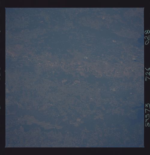
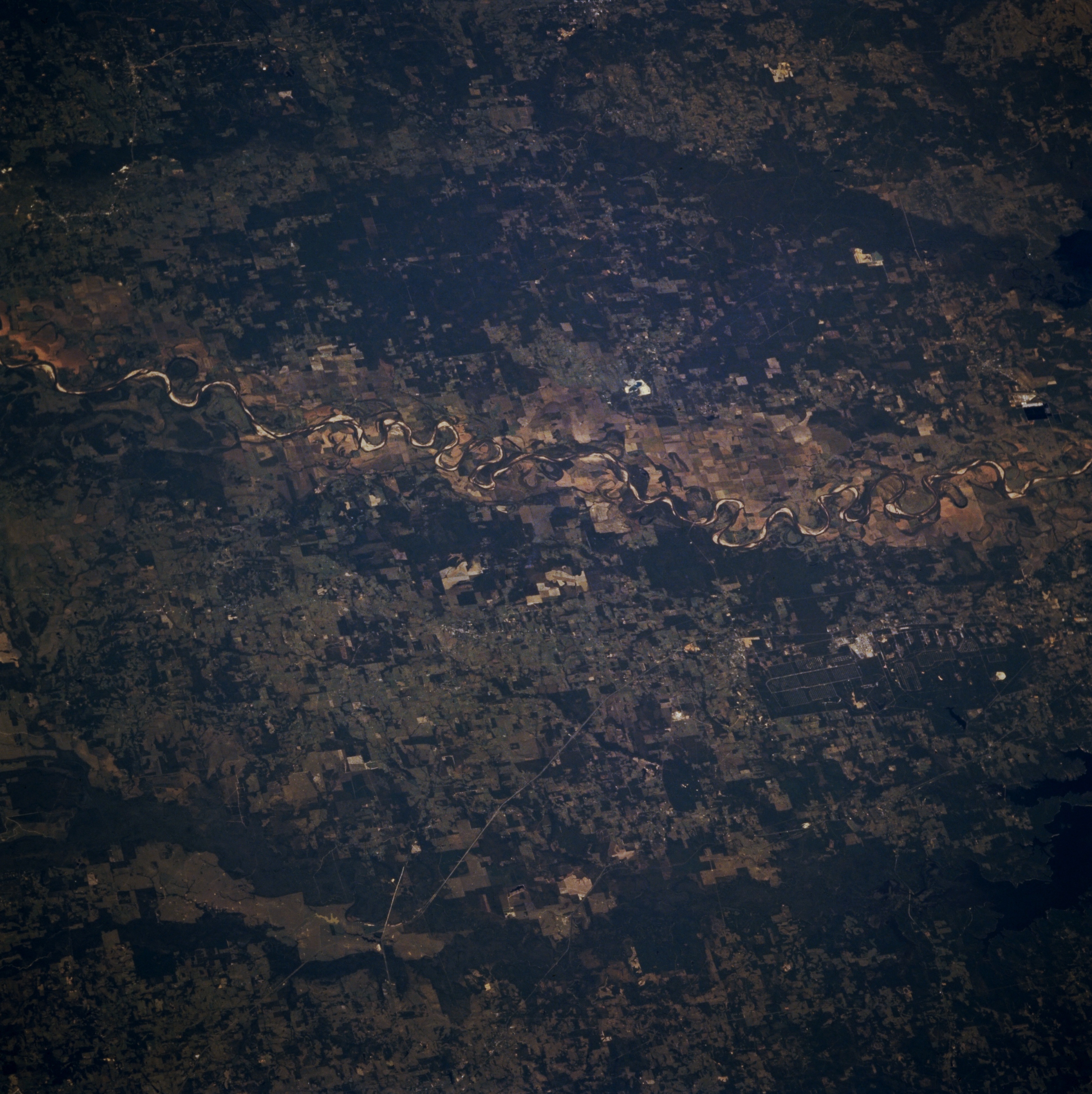
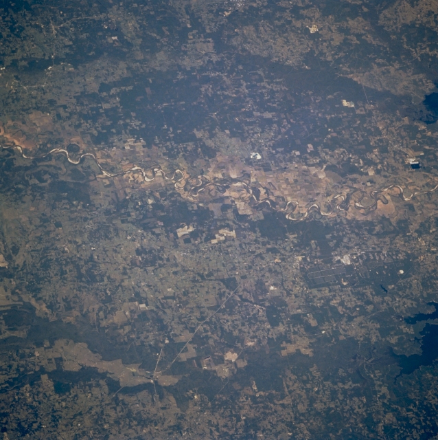
Image Caption: STS073-726-028 Red River, Arkansas and Texas, U.S.A. October 1995
Featured in this north-looking, low-oblique photograph is the Red River Valley. North of the Red River is southwest Arkansas, and south of the river is Texas. The river's name is derived from its sediment, which is primarily eroded particles from sandstone in the red Permian Basin of northwest Texas. The portion of the Red River in this photograph lies between Idabel, Oklahoma, (not discernible) to the west and Texarkana, Texas, (not discernible) to the east.
Featured in this north-looking, low-oblique photograph is the Red River Valley. North of the Red River is southwest Arkansas, and south of the river is Texas. The river's name is derived from its sediment, which is primarily eroded particles from sandstone in the red Permian Basin of northwest Texas. The portion of the Red River in this photograph lies between Idabel, Oklahoma, (not discernible) to the west and Texarkana, Texas, (not discernible) to the east.
