STS073-726-21
| NASA Photo ID | STS073-726-21 |
| Focal Length | 100mm |
| Date taken | 1995.__.__ |
| Time taken | GMT |
Resolutions offered for this image:
3936 x 3872 pixels 639 x 629 pixels 5700 x 5900 pixels 500 x 518 pixels 640 x 480 pixels
3936 x 3872 pixels 639 x 629 pixels 5700 x 5900 pixels 500 x 518 pixels 640 x 480 pixels
Cloud masks available for this image:
Spacecraft nadir point:
Photo center point: 34.0° N, 96.5° W
Photo center point by machine learning:
Photo center point: 34.0° N, 96.5° W
Photo center point by machine learning:
Nadir to Photo Center:
Spacecraft Altitude: nautical miles (0km)
Country or Geographic Name: | USA-OKLAHOMA |
Features: | LAKE TEXOMA, RED R., AGR. |
| Features Found Using Machine Learning: | |
Cloud Cover Percentage: | 0 (no clouds present) |
Sun Elevation Angle: | ° |
Sun Azimuth: | ° |
Camera: | Hasselblad |
Focal Length: | 100mm |
Camera Tilt: | Low Oblique |
Format: | 5046: Kodak, natural color positive, Lumiere 100/5046, ASA 100, standard base |
Film Exposure: | Normal |
| Additional Information | |
| Width | Height | Annotated | Cropped | Purpose | Links |
|---|---|---|---|---|---|
| 3936 pixels | 3872 pixels | No | No | Earth From Space collection | Download Image |
| 639 pixels | 629 pixels | No | No | Earth From Space collection | Download Image |
| 5700 pixels | 5900 pixels | No | No | Download Image | |
| 500 pixels | 518 pixels | No | No | Download Image | |
| 640 pixels | 480 pixels | No | No | Download Image |
Download Packaged File
Download a Google Earth KML for this Image
View photo footprint information
Download a GeoTIFF for this photo
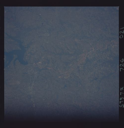
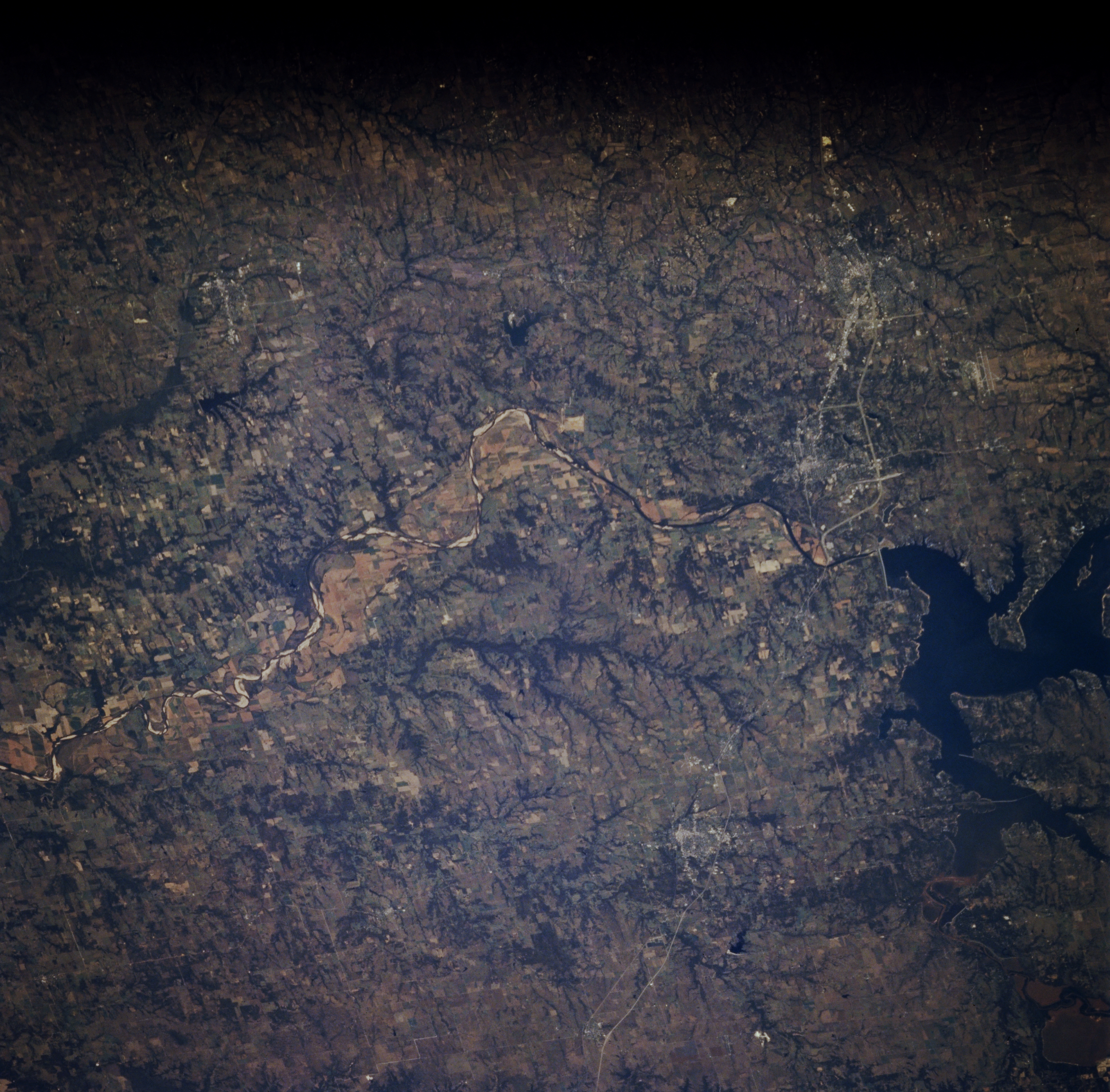
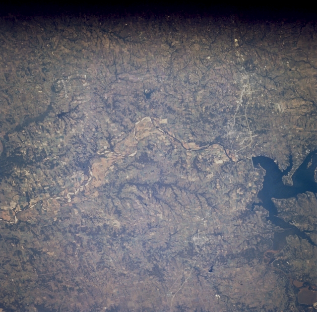
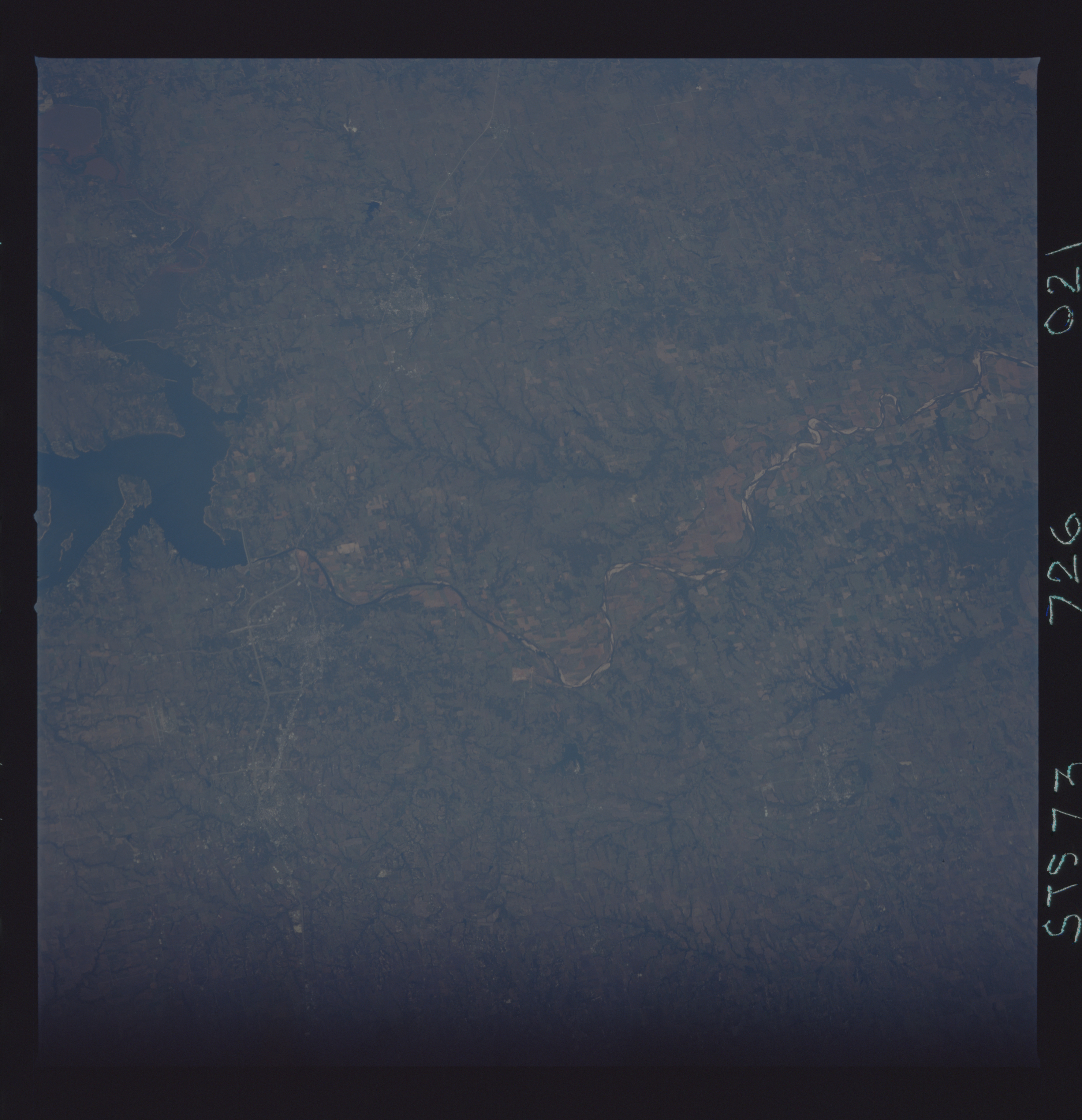
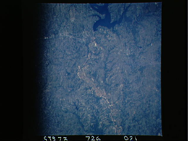
Image Caption: STS073-726-021 Lake Texoma, Texas October 1995
Denison Dam has created Lake Texoma (part of the lake is visible as the dark feature along the right edge of the image) on the Red River. This south view of the Red River shows part of the boundary between Texas and Oklahoma. A broad floodplain of the Red River is observed east of Lake Texoma and highly reflective linear features within the main channel of the river are sandbars. U.S. Highways 75 (west) and 68 (east) are visible as they split into two separate roadways north of Sherman. These highways can then be seen merging before they cross the Red River. The faint outline of the city of Durant, OK can be viewed east of Lake Texoma. Much of the terrain on both sides of the border is flat to gently rolling prairies and is used as farmlands, either crops or cattle. The dark strip along the top of the picture is either a film processing problem or a window frame obstruction.
Denison Dam has created Lake Texoma (part of the lake is visible as the dark feature along the right edge of the image) on the Red River. This south view of the Red River shows part of the boundary between Texas and Oklahoma. A broad floodplain of the Red River is observed east of Lake Texoma and highly reflective linear features within the main channel of the river are sandbars. U.S. Highways 75 (west) and 68 (east) are visible as they split into two separate roadways north of Sherman. These highways can then be seen merging before they cross the Red River. The faint outline of the city of Durant, OK can be viewed east of Lake Texoma. Much of the terrain on both sides of the border is flat to gently rolling prairies and is used as farmlands, either crops or cattle. The dark strip along the top of the picture is either a film processing problem or a window frame obstruction.
