STS073-726-17
| NASA Photo ID | STS073-726-17 |
| Focal Length | 250mm |
| Date taken | 1995.__.__ |
| Time taken | GMT |
Resolutions offered for this image:
3939 x 3872 pixels 640 x 629 pixels 5700 x 5900 pixels 500 x 518 pixels 640 x 480 pixels
3939 x 3872 pixels 640 x 629 pixels 5700 x 5900 pixels 500 x 518 pixels 640 x 480 pixels


Cloud masks available for this image:
Spacecraft nadir point:
Photo center point: 37.5° N, 110.5° W
Photo center point by machine learning:
Photo center point: 37.5° N, 110.5° W
Photo center point by machine learning:
Nadir to Photo Center:
Spacecraft Altitude: nautical miles (0km)
Country or Geographic Name: | USA-UTAH |
Features: | LAKE POWELL |
| Features Found Using Machine Learning: | |
Cloud Cover Percentage: | 0 (no clouds present) |
Sun Elevation Angle: | ° |
Sun Azimuth: | ° |
Camera: | Hasselblad |
Focal Length: | 250mm |
Camera Tilt: | |
Format: | 5046: Kodak, natural color positive, Lumiere 100/5046, ASA 100, standard base |
Film Exposure: | Normal |
| Additional Information | |
| Width | Height | Annotated | Cropped | Purpose | Links |
|---|---|---|---|---|---|
| 3939 pixels | 3872 pixels | No | No | Earth From Space collection | Download Image |
| 640 pixels | 629 pixels | No | No | Earth From Space collection | Download Image |
| 5700 pixels | 5900 pixels | No | No | Download Image | |
| 500 pixels | 518 pixels | No | No | Download Image | |
| 640 pixels | 480 pixels | No | No | Download Image |
Download Packaged File
Download a Google Earth KML for this Image
View photo footprint information
Download a GeoTIFF for this photo
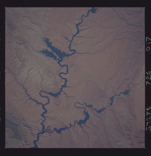
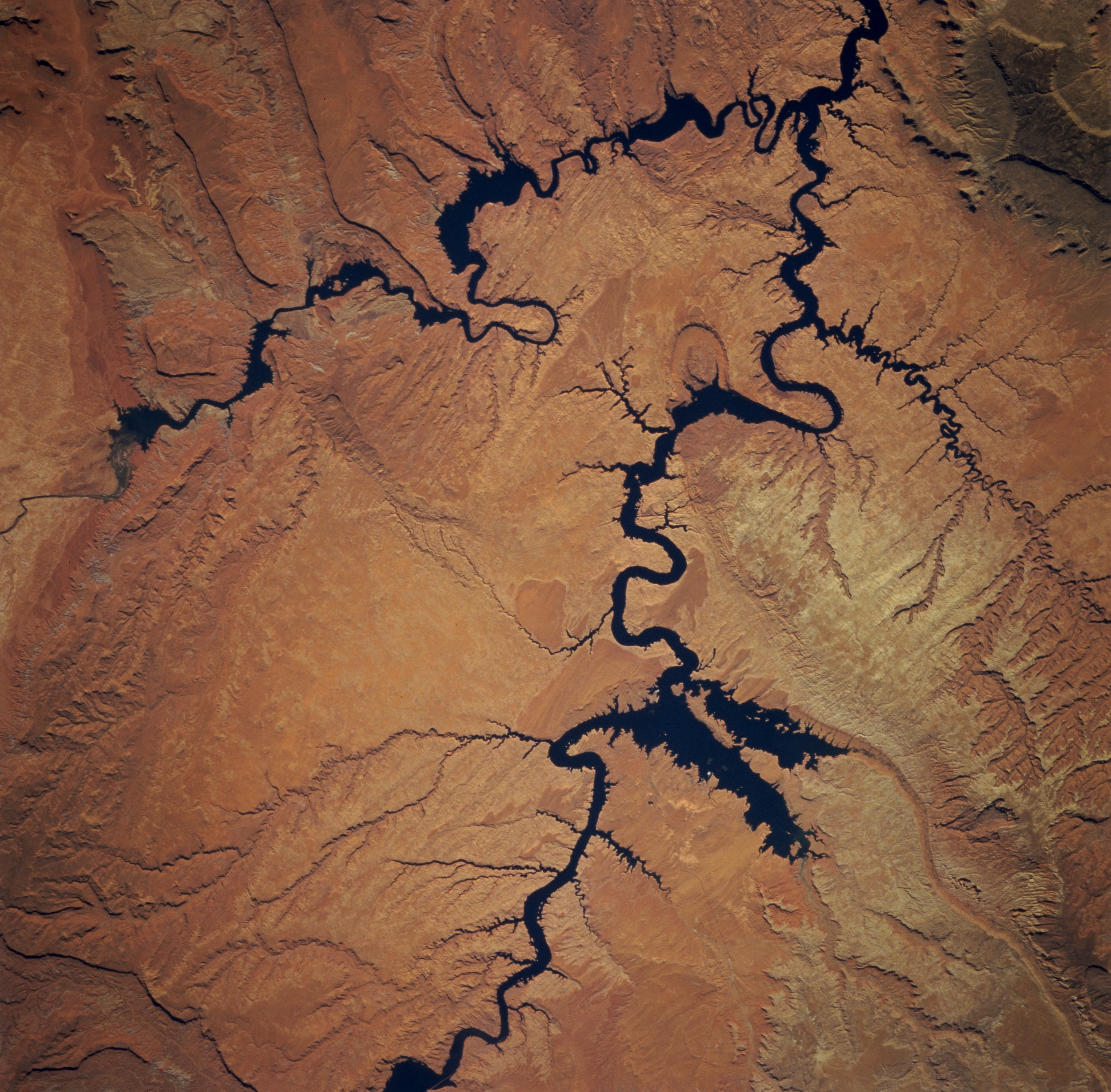
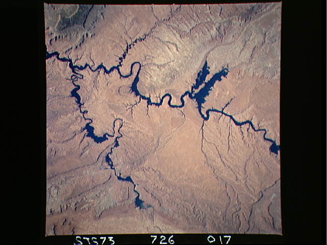
Image Caption: STS073-726-017 Colorado, San Juan, and Escalante Rivers, Utah, U.S.A. September 1995
Glen Canyon National Recreation Area and Lake Powell are apparent in this south-southwest-looking, low-oblique photograph. The southwestern edge of the Kaiparowits Plateau is discernible in the upper right portion of the photograph. The Escalante, San Juan, and Colorado Rivers can be seen joining Lake Powell. The light greenish-red rocks of the Waterpocket Fold are visible northeast of the Escalante River.
Glen Canyon National Recreation Area and Lake Powell are apparent in this south-southwest-looking, low-oblique photograph. The southwestern edge of the Kaiparowits Plateau is discernible in the upper right portion of the photograph. The Escalante, San Juan, and Colorado Rivers can be seen joining Lake Powell. The light greenish-red rocks of the Waterpocket Fold are visible northeast of the Escalante River.
