STS073-725-24
| NASA Photo ID | STS073-725-24 |
| Focal Length | 250mm |
| Date taken | 1995.10.24 |
| Time taken | 15:24:01 GMT |
Resolutions offered for this image:
3936 x 3904 pixels 639 x 634 pixels 5700 x 5900 pixels 500 x 518 pixels 640 x 480 pixels
3936 x 3904 pixels 639 x 634 pixels 5700 x 5900 pixels 500 x 518 pixels 640 x 480 pixels


Cloud masks available for this image:
Spacecraft nadir point: 39.0° N, 92.0° W
Photo center point: 39.0° N, 93.5° W
Photo center point by machine learning:
Photo center point: 39.0° N, 93.5° W
Photo center point by machine learning:
Nadir to Photo Center: West
Spacecraft Altitude: 144 nautical miles (267km)
Country or Geographic Name: | USA-MISSOURI |
Features: | MISSOURI R, DRAINAGE, AGR. |
| Features Found Using Machine Learning: | |
Cloud Cover Percentage: | 0 (no clouds present) |
Sun Elevation Angle: | 29° |
Sun Azimuth: | 138° |
Camera: | Hasselblad |
Focal Length: | 250mm |
Camera Tilt: | 32 degrees |
Format: | 5046: Kodak, natural color positive, Lumiere 100/5046, ASA 100, standard base |
Film Exposure: | Normal |
| Additional Information | |
| Width | Height | Annotated | Cropped | Purpose | Links |
|---|---|---|---|---|---|
| 3936 pixels | 3904 pixels | No | No | Earth From Space collection | Download Image |
| 639 pixels | 634 pixels | No | No | Earth From Space collection | Download Image |
| 5700 pixels | 5900 pixels | No | No | Download Image | |
| 500 pixels | 518 pixels | No | No | Download Image | |
| 640 pixels | 480 pixels | No | No | Download Image |
Download Packaged File
Download a Google Earth KML for this Image
View photo footprint information
Download a GeoTIFF for this photo
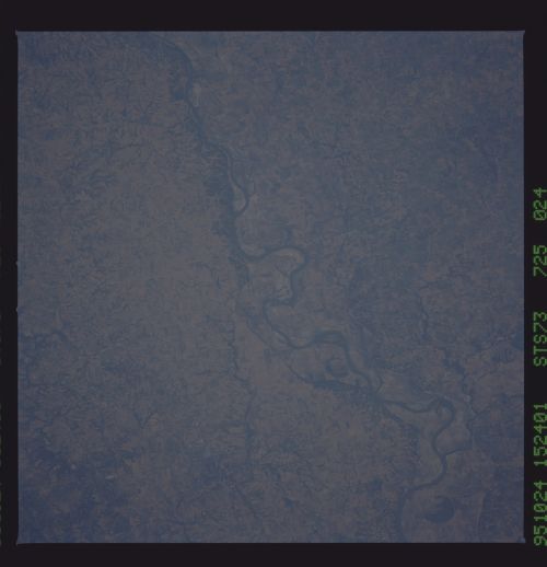
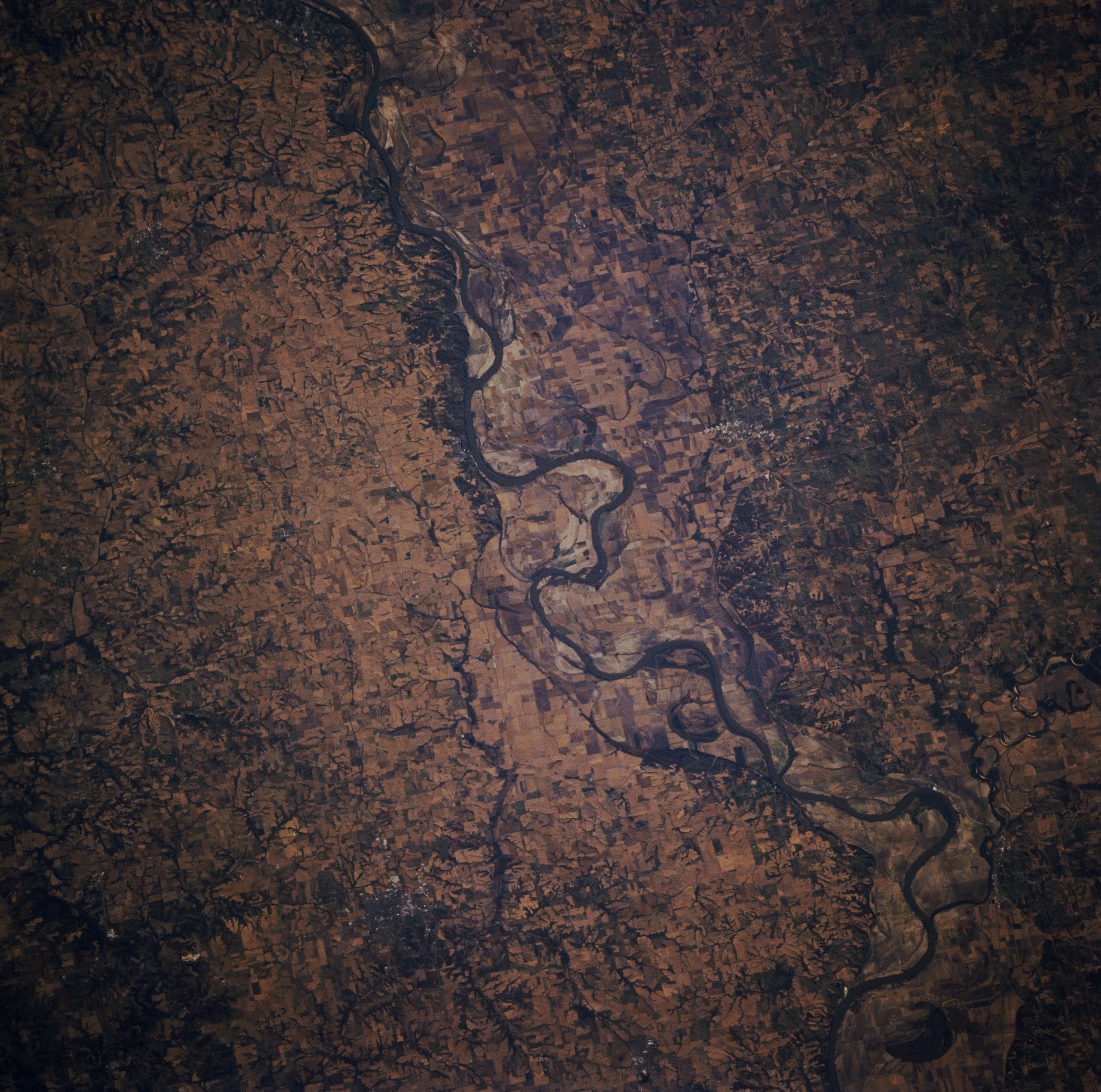
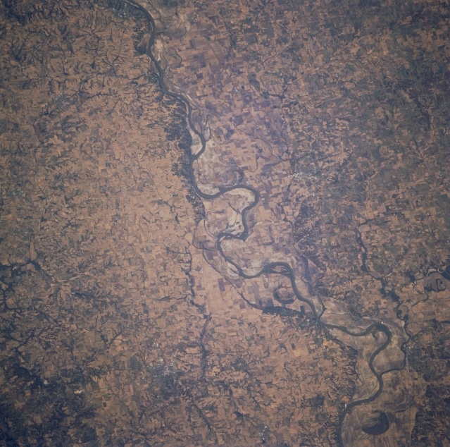
Image Caption: STS073-725-024 Missouri River, Missouri, U.S.A. October 1995
The Missouri River traverses generally eastward across Missouri in this west-looking, low-oblique photograph. The river's floodplain reaches its widest point between Lexington and De Witt (neither discernible). Some remnants of the floods of 1993 remain; however, this area is rich in agriculture and livestock as evidenced by numerous small agricultural fields on either side of the river that were not visible immediately after the floods.
The Missouri River traverses generally eastward across Missouri in this west-looking, low-oblique photograph. The river's floodplain reaches its widest point between Lexington and De Witt (neither discernible). Some remnants of the floods of 1993 remain; however, this area is rich in agriculture and livestock as evidenced by numerous small agricultural fields on either side of the river that were not visible immediately after the floods.
