STS073-725-23
| NASA Photo ID | STS073-725-23 |
| Focal Length | 250mm |
| Date taken | 1995.10.24 |
| Time taken | 15:23:59 GMT |
Resolutions offered for this image:
3872 x 3840 pixels 639 x 634 pixels 5700 x 5900 pixels 500 x 518 pixels 640 x 480 pixels
3872 x 3840 pixels 639 x 634 pixels 5700 x 5900 pixels 500 x 518 pixels 640 x 480 pixels


Cloud masks available for this image:
Spacecraft nadir point: 39.0° N, 92.2° W
Photo center point: 39.0° N, 94.0° W
Photo center point by machine learning:
Photo center point: 39.0° N, 94.0° W
Photo center point by machine learning:
Nadir to Photo Center: West
Spacecraft Altitude: 144 nautical miles (267km)
Country or Geographic Name: | USA-MISSOURI |
Features: | MISSOURI R, DRAINAGE, AGR. |
| Features Found Using Machine Learning: | |
Cloud Cover Percentage: | 0 (no clouds present) |
Sun Elevation Angle: | 29° |
Sun Azimuth: | 137° |
Camera: | Hasselblad |
Focal Length: | 250mm |
Camera Tilt: | 37 degrees |
Format: | 5046: Kodak, natural color positive, Lumiere 100/5046, ASA 100, standard base |
Film Exposure: | Normal |
| Additional Information | |
| Width | Height | Annotated | Cropped | Purpose | Links |
|---|---|---|---|---|---|
| 3872 pixels | 3840 pixels | No | No | Earth From Space collection | Download Image |
| 639 pixels | 634 pixels | No | No | Earth From Space collection | Download Image |
| 5700 pixels | 5900 pixels | No | No | Download Image | |
| 500 pixels | 518 pixels | No | No | Download Image | |
| 640 pixels | 480 pixels | No | No | Download Image |
Download Packaged File
Download a Google Earth KML for this Image
View photo footprint information
Download a GeoTIFF for this photo
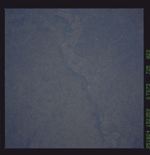
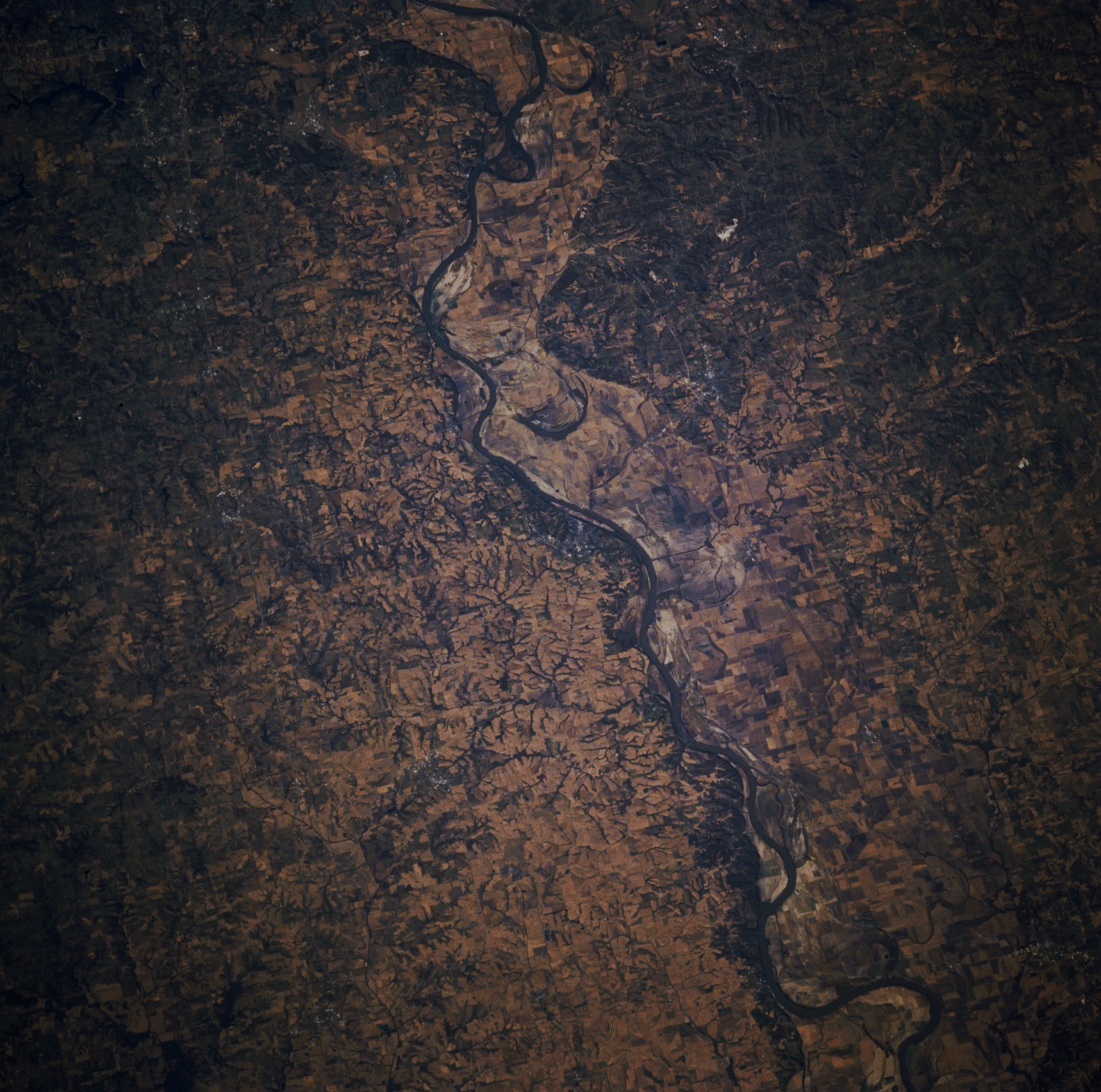
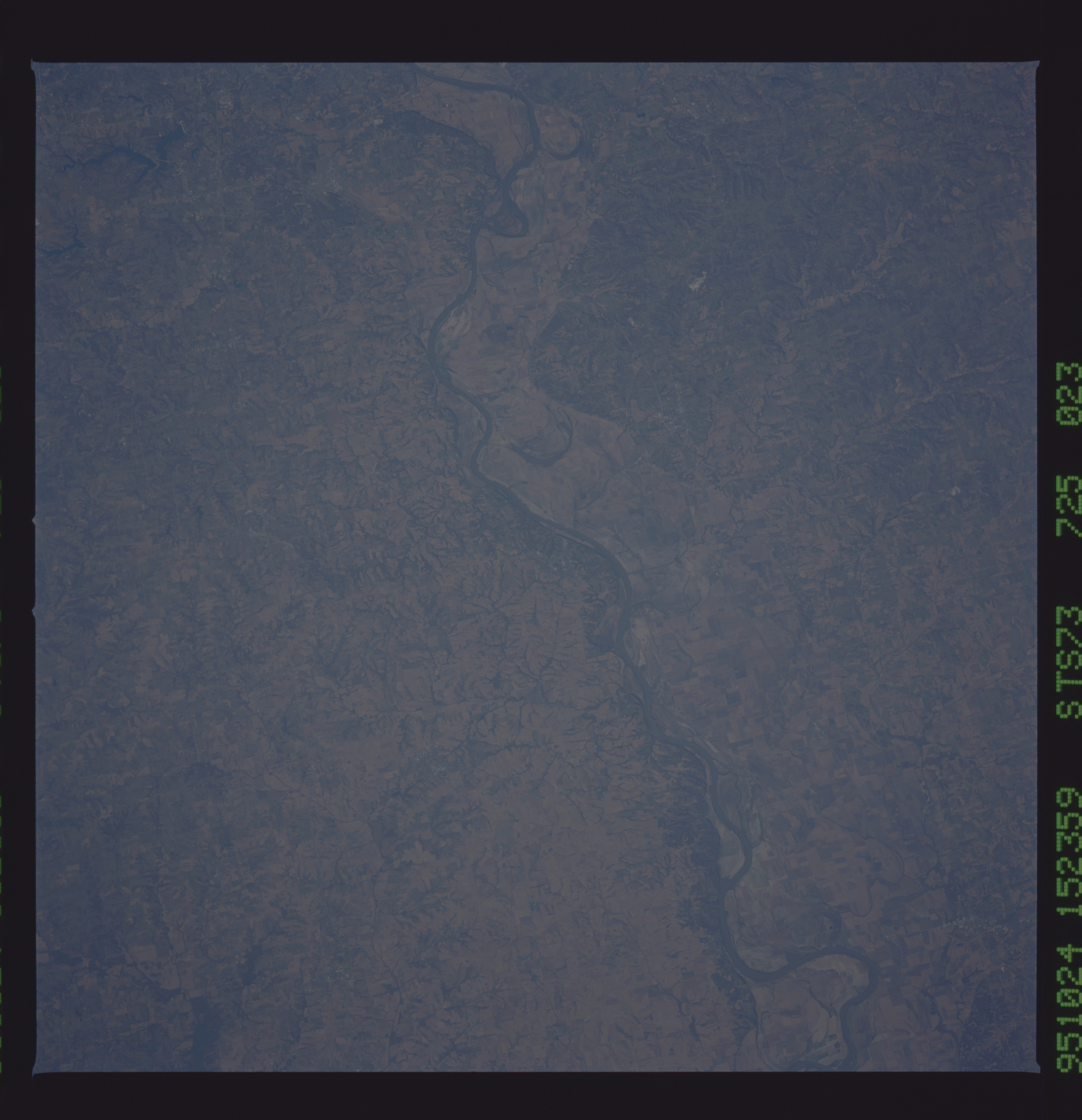
Image Caption: STS073-725-023 Missouri River, Missouri, U.S.A. October 1995
This west-looking, low-oblique photograph features the Missouri River flowing east from near Missouri City (not discernible) to near Waverly. Much of the floodplain of the Missouri still shows the effects of the floods of 1993; fewer agricultural fields are discernible than before 1993. Visible south of the river are the northern reaches of the Ozark Plateau, an eroded upland.
This west-looking, low-oblique photograph features the Missouri River flowing east from near Missouri City (not discernible) to near Waverly. Much of the floodplain of the Missouri still shows the effects of the floods of 1993; fewer agricultural fields are discernible than before 1993. Visible south of the river are the northern reaches of the Ozark Plateau, an eroded upland.
