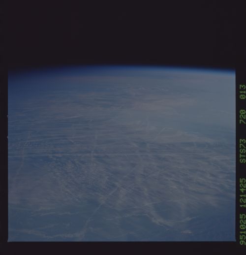
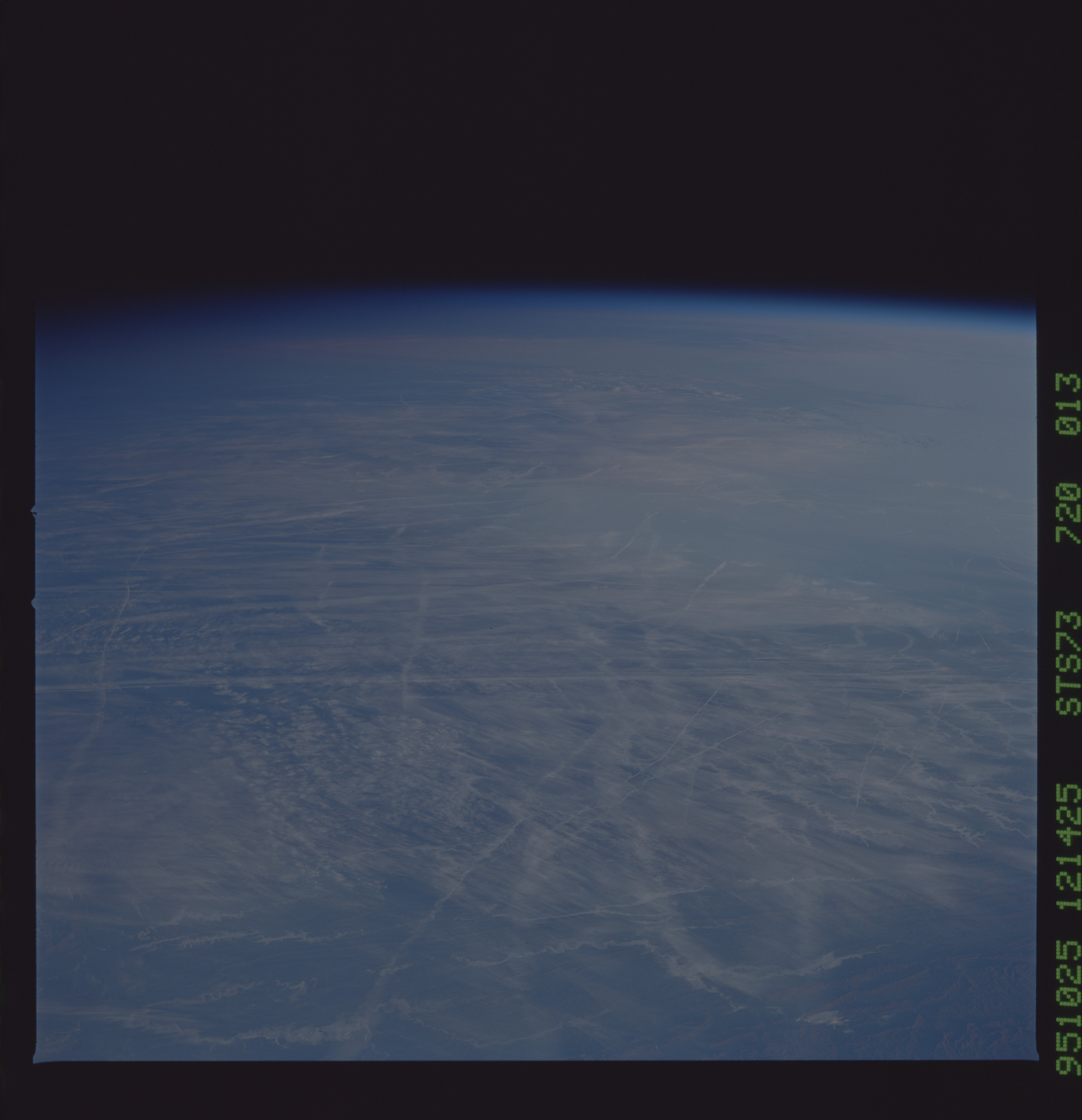
STS073-720-13
| NASA Photo ID | STS073-720-13 |
| Focal Length | 250mm |
| Date taken | 1995.10.25 |
| Time taken | 12:14:25 GMT |

Cloud masks available for this image:
Spacecraft nadir point: 33.0° N, 81.8° W
Photo center point:
Photo center point by machine learning:
Photo center point:
Photo center point by machine learning:
Nadir to Photo Center:
Spacecraft Altitude: 143 nautical miles (265km)
Country or Geographic Name: | USA-GEORGIA |
Features: | PAN-CONTRAILS, CLOUDS, MTS |
| Features Found Using Machine Learning: | |
Cloud Cover Percentage: | 70 (51-75)% |
Sun Elevation Angle: | 6° |
Sun Azimuth: | 109° |
Camera: | Hasselblad |
Focal Length: | 250mm |
Camera Tilt: | High Oblique |
Format: | 5046: Kodak, natural color positive, Lumiere 100/5046, ASA 100, standard base |
Film Exposure: | Normal |
| Additional Information | |
| Width | Height | Annotated | Cropped | Purpose | Links |
|---|---|---|---|---|---|
| 5700 pixels | 5900 pixels | No | No | Download Image | |
| 500 pixels | 518 pixels | No | No | Download Image | |
| 640 pixels | 480 pixels | No | No | Download Image |
Download Packaged File
Download a Google Earth KML for this Image
View photo footprint information
Download a GeoTIFF for this photo
Image Caption: Saudi irrigation along an ancient stream channel draining
folded sedimentary rocks (compare to detailed shot from an earlier
mission, 35mm)
folded sedimentary rocks (compare to detailed shot from an earlier
mission, 35mm)
