STS073-708-14
| NASA Photo ID | STS073-708-14 |
| Focal Length | 250mm |
| Date taken | 1995.10.25 |
| Time taken | 16:58:09 GMT |
Resolutions offered for this image:
3872 x 3904 pixels 634 x 639 pixels 5700 x 5900 pixels 500 x 518 pixels 640 x 480 pixels
3872 x 3904 pixels 634 x 639 pixels 5700 x 5900 pixels 500 x 518 pixels 640 x 480 pixels

Cloud masks available for this image:
Spacecraft nadir point: 34.0° N, 83.1° W
Photo center point: 34.5° N, 84.0° W
Photo center point by machine learning:
Photo center point: 34.5° N, 84.0° W
Photo center point by machine learning:
Nadir to Photo Center: Northwest
Spacecraft Altitude: 145 nautical miles (269km)
Country or Geographic Name: | USA-GEORGIA |
Features: | GAINSVILLE, RES., AGR. |
| Features Found Using Machine Learning: | |
Cloud Cover Percentage: | 0 (no clouds present) |
Sun Elevation Angle: | 44° |
Sun Azimuth: | 174° |
Camera: | Hasselblad |
Focal Length: | 250mm |
Camera Tilt: | 23 degrees |
Format: | 5046: Kodak, natural color positive, Lumiere 100/5046, ASA 100, standard base |
Film Exposure: | Normal |
| Additional Information | |
| Width | Height | Annotated | Cropped | Purpose | Links |
|---|---|---|---|---|---|
| 3872 pixels | 3904 pixels | No | No | Earth From Space collection | Download Image |
| 634 pixels | 639 pixels | No | No | Earth From Space collection | Download Image |
| 5700 pixels | 5900 pixels | No | No | Download Image | |
| 500 pixels | 518 pixels | No | No | Download Image | |
| 640 pixels | 480 pixels | No | No | Download Image |
Download Packaged File
Download a Google Earth KML for this Image
View photo footprint information
Download a GeoTIFF for this photo
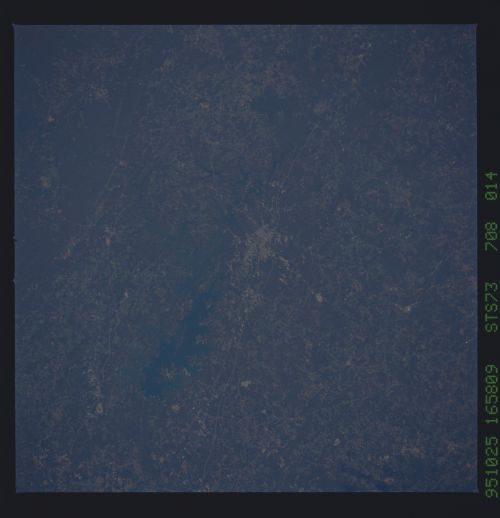
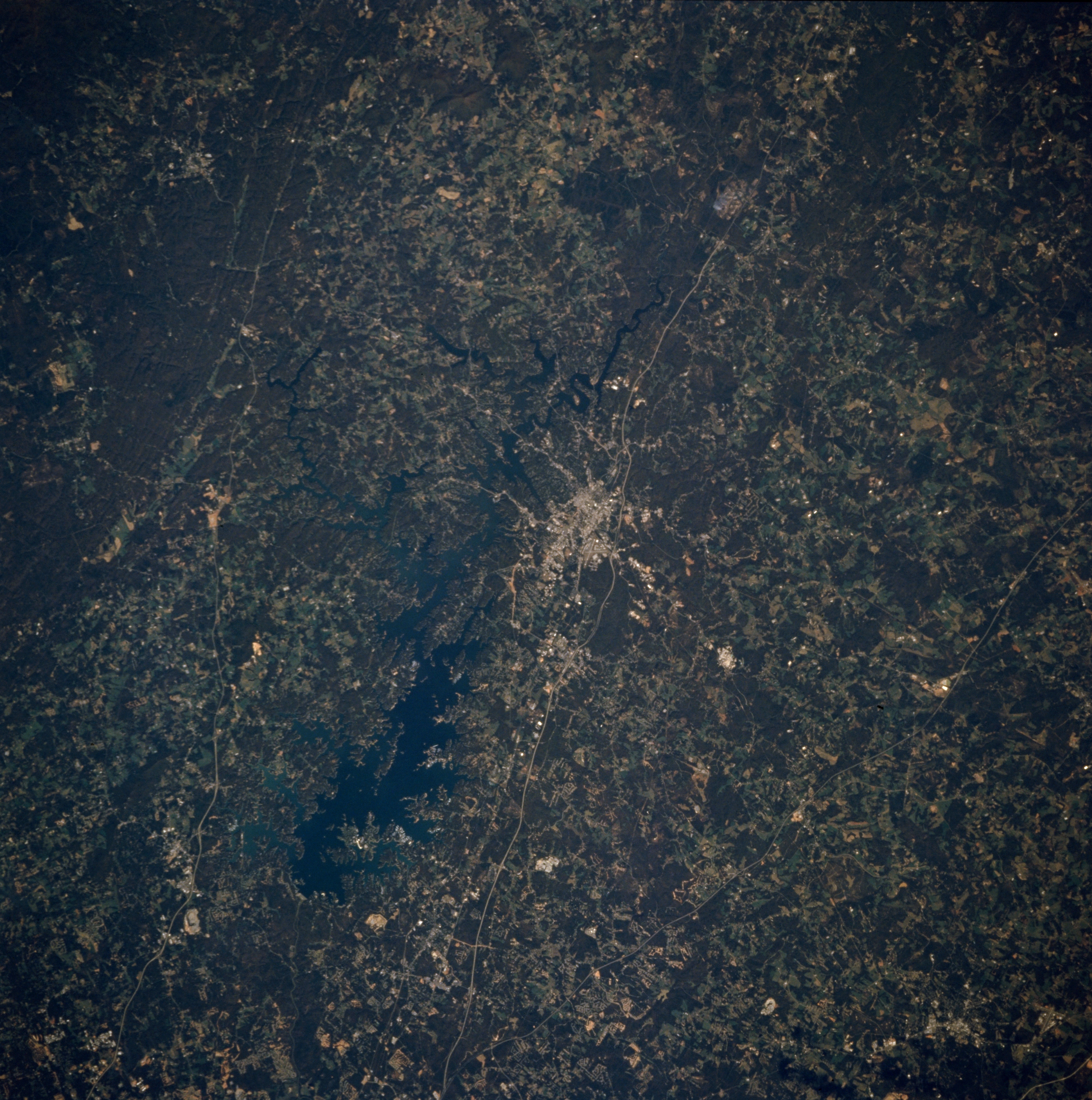
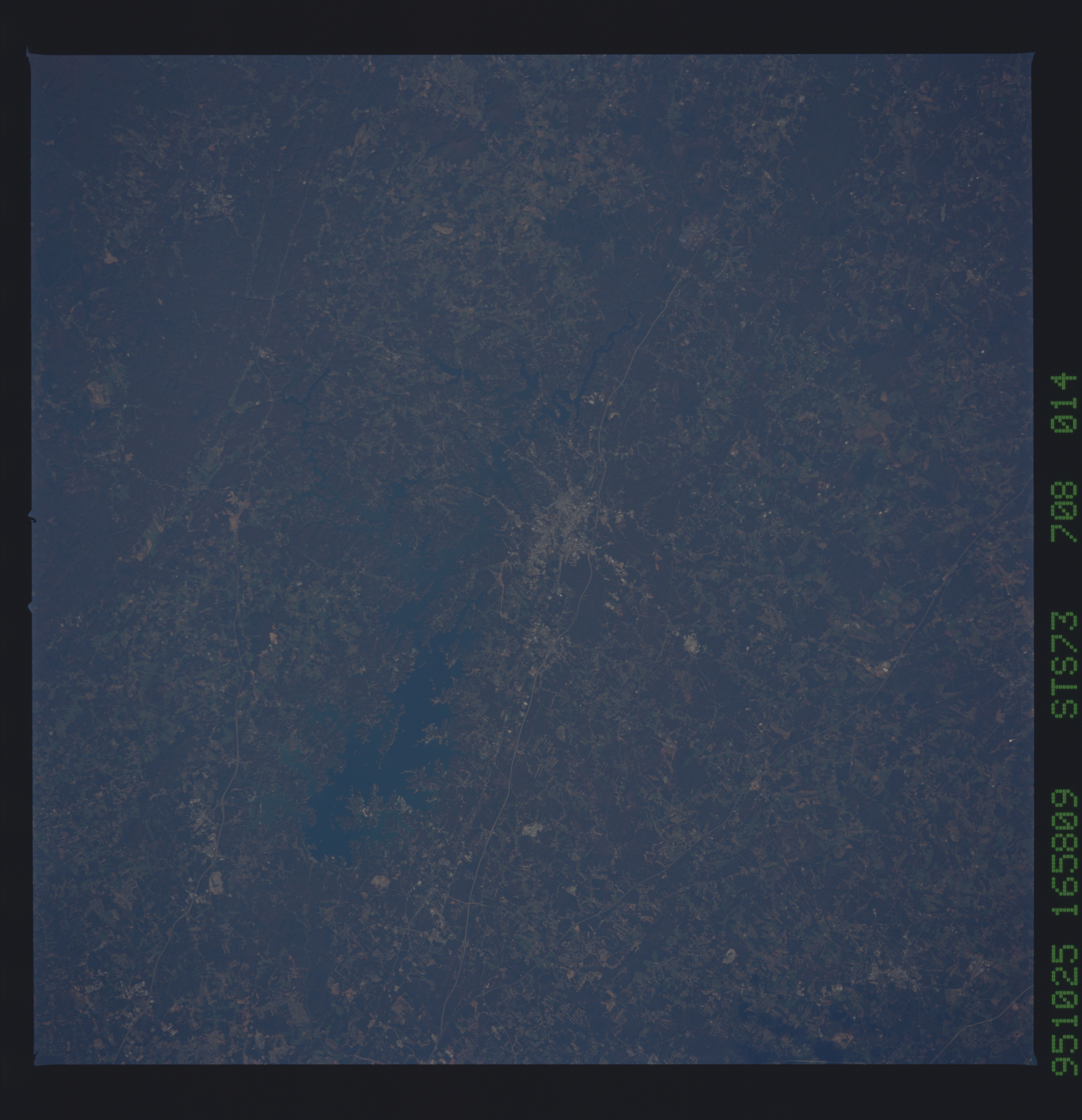
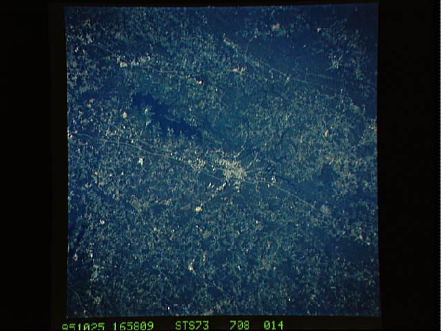
Image Caption: STS073-708-014 Gainesville, Georgia, U.S.A. October 1995
Approximately 50 miles (80 kilometers) northeast of Atlanta are Gainesville and large Lake Sidney Lanier (near center). Discernible are two main thoroughfares that connect Gainesville and Atlanta--Interstate Highway 98S and older U. S. Highway 23--and parts of U. S. Highway 19 west of Lake Sidney Lanier. Light, linear power line rights-of-way cut through the southern fringe of dark, mountainous Chattahoochee National Forest (upper left corner). Darker features depict forested lands, and lighter areas show agricultural patterns in this gently rolling landscape of northwest Georgia.
Approximately 50 miles (80 kilometers) northeast of Atlanta are Gainesville and large Lake Sidney Lanier (near center). Discernible are two main thoroughfares that connect Gainesville and Atlanta--Interstate Highway 98S and older U. S. Highway 23--and parts of U. S. Highway 19 west of Lake Sidney Lanier. Light, linear power line rights-of-way cut through the southern fringe of dark, mountainous Chattahoochee National Forest (upper left corner). Darker features depict forested lands, and lighter areas show agricultural patterns in this gently rolling landscape of northwest Georgia.
