STS073-707-27
| NASA Photo ID | STS073-707-27 |
| Focal Length | 100mm |
| Date taken | 1995.10.23 |
| Time taken | 16:58:18 GMT |
Resolutions offered for this image:
3904 x 3936 pixels 634 x 639 pixels 5700 x 5900 pixels 500 x 518 pixels 640 x 480 pixels
3904 x 3936 pixels 634 x 639 pixels 5700 x 5900 pixels 500 x 518 pixels 640 x 480 pixels


Cloud masks available for this image:
Spacecraft nadir point: 39.2° N, 103.9° W
Photo center point: 40.0° N, 105.0° W
Photo center point by machine learning:
Photo center point: 40.0° N, 105.0° W
Photo center point by machine learning:
Nadir to Photo Center: Northwest
Spacecraft Altitude: 145 nautical miles (269km)
Camera: | Hasselblad |
Focal Length: | 100mm |
Camera Tilt: | 29 degrees |
Format: | 5046: Kodak, natural color positive, Lumiere 100/5046, ASA 100, standard base |
Film Exposure: | Normal |
| Additional Information | |
| Width | Height | Annotated | Cropped | Purpose | Links |
|---|---|---|---|---|---|
| 3904 pixels | 3936 pixels | No | No | Earth From Space collection | Download Image |
| 634 pixels | 639 pixels | No | No | Earth From Space collection | Download Image |
| 5700 pixels | 5900 pixels | No | No | Download Image | |
| 500 pixels | 518 pixels | No | No | Download Image | |
| 640 pixels | 480 pixels | No | No | Download Image |
Download Packaged File
Download a Google Earth KML for this Image
View photo footprint information
Download a GeoTIFF for this photo
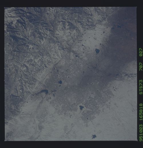
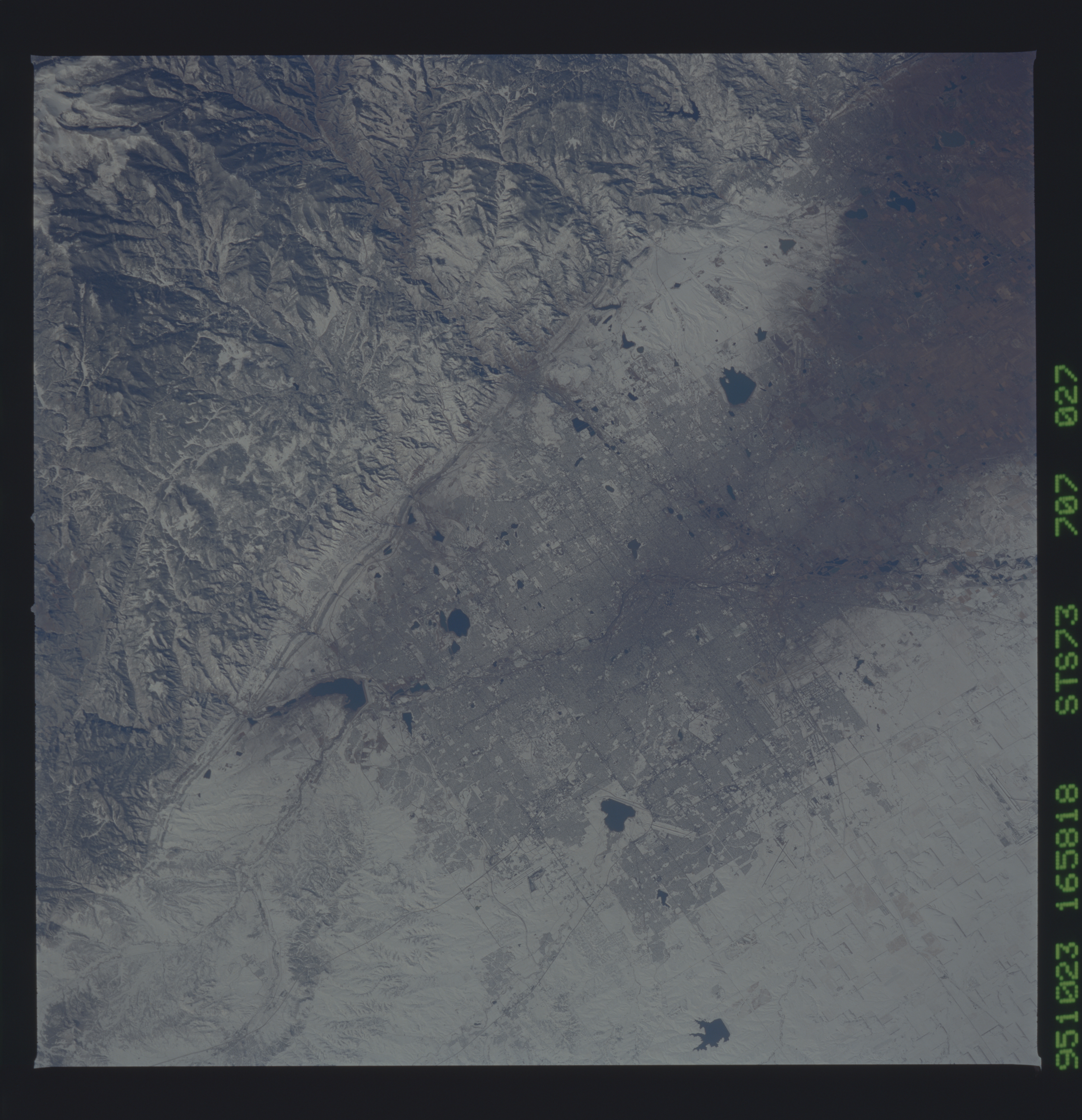
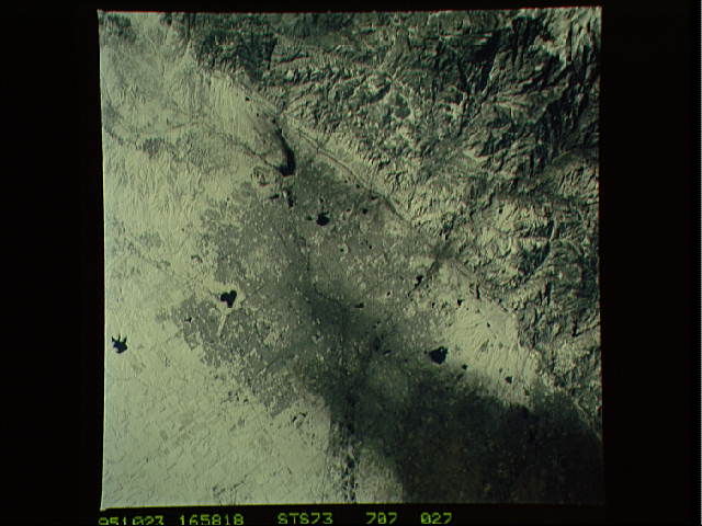
Image Caption: STS073-707-027 Denver, Colorado, U.S.A. October 1995
This apparent black and white photograph, generated from natural color film, shows snow-covered metropolitan Denver and little or no snow in the darker area north of Denver. Accentuated features of the snow cover include lakes and reservoirs (dark, irregular features); street grid patterns; and a line of steeply tilted rocks (darker, diagonal features to the west) that parallel the Front Range of the Rocky Mountains. Obvious is the southwest-to-northeast pattern of the South Platte River through Denver.
This apparent black and white photograph, generated from natural color film, shows snow-covered metropolitan Denver and little or no snow in the darker area north of Denver. Accentuated features of the snow cover include lakes and reservoirs (dark, irregular features); street grid patterns; and a line of steeply tilted rocks (darker, diagonal features to the west) that parallel the Front Range of the Rocky Mountains. Obvious is the southwest-to-northeast pattern of the South Platte River through Denver.
