STS073-706-48
| NASA Photo ID | STS073-706-48 |
| Focal Length | 250mm |
| Date taken | 1995.10.22 |
| Time taken | 20:11:26 GMT |
Resolutions offered for this image:
3904 x 3904 pixels 639 x 639 pixels 5700 x 5900 pixels 500 x 518 pixels 640 x 480 pixels
3904 x 3904 pixels 639 x 639 pixels 5700 x 5900 pixels 500 x 518 pixels 640 x 480 pixels

Cloud masks available for this image:
Spacecraft nadir point: 29.1° N, 96.5° W
Photo center point: 30.0° N, 98.0° W
Photo center point by machine learning:
Photo center point: 30.0° N, 98.0° W
Photo center point by machine learning:
Nadir to Photo Center: Northwest
Spacecraft Altitude: 146 nautical miles (270km)
Country or Geographic Name: | USA-TEXAS |
Features: | CANYON L., SAN MARCOS, R. |
| Features Found Using Machine Learning: | |
Cloud Cover Percentage: | 5 (1-10)% |
Sun Elevation Angle: | 40° |
Sun Azimuth: | 220° |
Camera: | Hasselblad |
Focal Length: | 250mm |
Camera Tilt: | 36 degrees |
Format: | 5046: Kodak, natural color positive, Lumiere 100/5046, ASA 100, standard base |
Film Exposure: | Normal |
| Additional Information | |
| Width | Height | Annotated | Cropped | Purpose | Links |
|---|---|---|---|---|---|
| 3904 pixels | 3904 pixels | No | No | Earth From Space collection | Download Image |
| 639 pixels | 639 pixels | No | No | Earth From Space collection | Download Image |
| 5700 pixels | 5900 pixels | No | No | Download Image | |
| 500 pixels | 518 pixels | No | No | Download Image | |
| 640 pixels | 480 pixels | No | No | Download Image |
Download Packaged File
Download a Google Earth KML for this Image
View photo footprint information
Download a GeoTIFF for this photo
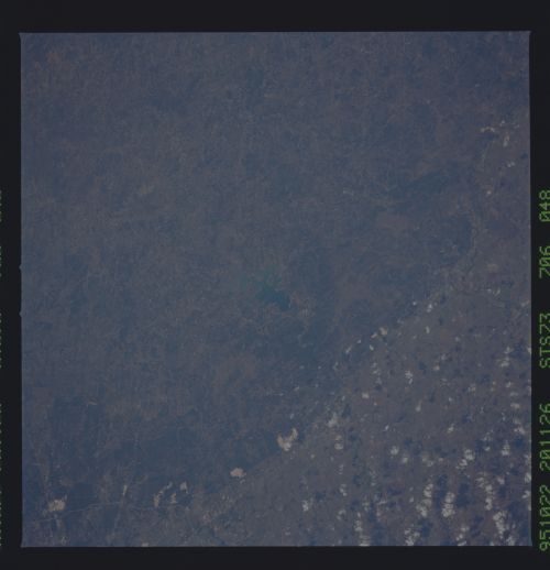
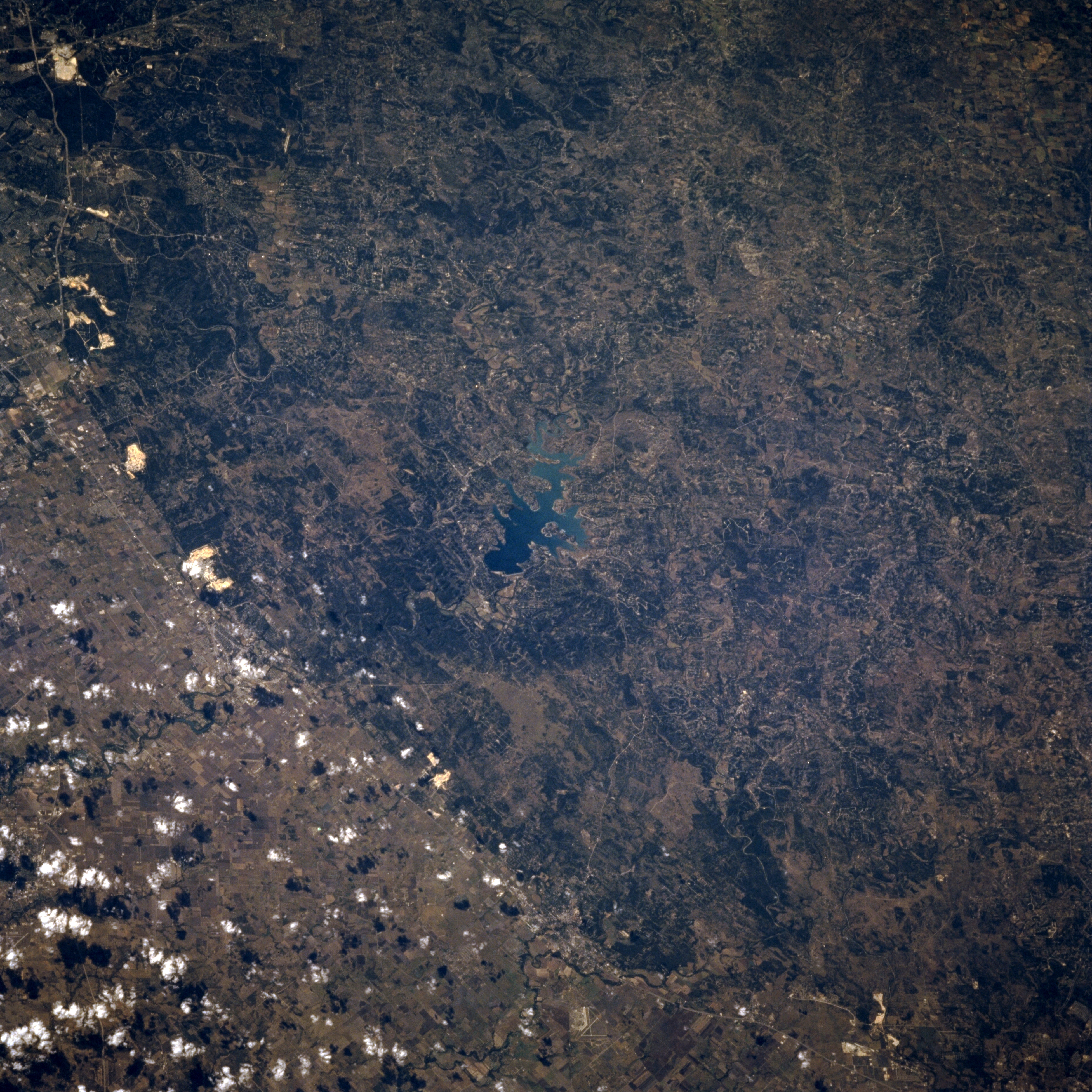
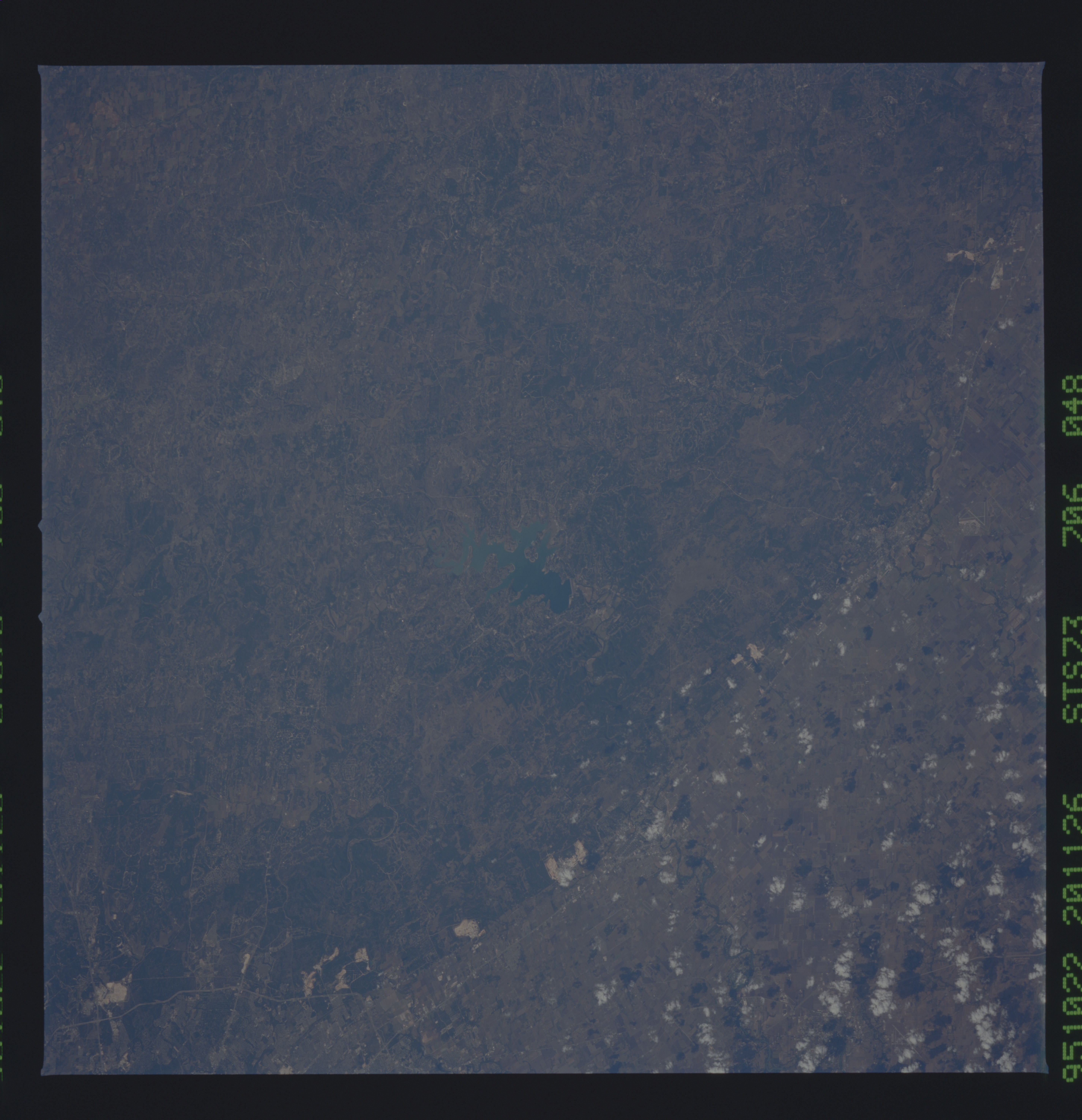
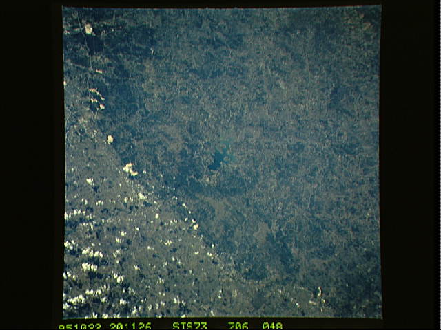
Image Caption: STS073-706-048 Canyon Lake, Texas, U.S.A. October 1995
Two different geologic provinces, divided by the Balcones escarpment, are apparent in this near-vertical photograph of the landscape between northeast San Antonio and San Marcos to the northeast--the gentle arc of the darker, elevated Edwards Plateau to the west and a lighter, more uniform landscape to the east. Interstate Highway 35 lies on the low rolling plains of the Black Prairie immediately east of the Balcones escarpment. Blue Canyon Lake is located on the uplifted, more resistant limestone of the Edwards Plateau to the west. The large white features along the eastern edge of the plateau are mines providing limestone for highways and building construction. White cumulus clouds appear east of the escarpment over the agricultural lands.
Two different geologic provinces, divided by the Balcones escarpment, are apparent in this near-vertical photograph of the landscape between northeast San Antonio and San Marcos to the northeast--the gentle arc of the darker, elevated Edwards Plateau to the west and a lighter, more uniform landscape to the east. Interstate Highway 35 lies on the low rolling plains of the Black Prairie immediately east of the Balcones escarpment. Blue Canyon Lake is located on the uplifted, more resistant limestone of the Edwards Plateau to the west. The large white features along the eastern edge of the plateau are mines providing limestone for highways and building construction. White cumulus clouds appear east of the escarpment over the agricultural lands.
