STS073-706-16
| NASA Photo ID | STS073-706-16 |
| Focal Length | 250mm |
| Date taken | 1995.10.22 |
| Time taken | 20:05:46 GMT |
Resolutions offered for this image:
3939 x 3904 pixels 640 x 634 pixels 5700 x 5900 pixels 500 x 518 pixels 640 x 480 pixels 3391 x 3391 pixels
3939 x 3904 pixels 640 x 634 pixels 5700 x 5900 pixels 500 x 518 pixels 640 x 480 pixels 3391 x 3391 pixels

Cloud masks available for this image:
Spacecraft nadir point: 37.2° N, 120.5° W
Photo center point: 37.5° N, 121.5° W
Photo center point by machine learning:
Photo center point: 37.5° N, 121.5° W
Photo center point by machine learning:
Nadir to Photo Center: West
Spacecraft Altitude: 146 nautical miles (270km)
Camera: | Hasselblad |
Focal Length: | 250mm |
Camera Tilt: | 23 degrees |
Format: | 5046: Kodak, natural color positive, Lumiere 100/5046, ASA 100, standard base |
Film Exposure: | Normal |
| Additional Information | |
| Width | Height | Annotated | Cropped | Purpose | Links |
|---|---|---|---|---|---|
| 3939 pixels | 3904 pixels | No | No | Earth From Space collection | Download Image |
| 640 pixels | 634 pixels | No | No | Earth From Space collection | Download Image |
| 5700 pixels | 5900 pixels | No | No | Download Image | |
| 500 pixels | 518 pixels | No | No | Download Image | |
| 640 pixels | 480 pixels | No | No | Download Image | |
| 3391 pixels | 3391 pixels | Download Image |
Download Packaged File
Download a Google Earth KML for this Image
View photo footprint information
Download a GeoTIFF for this photo
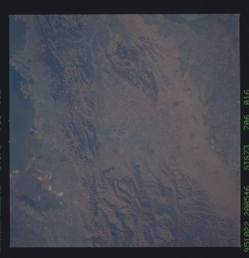
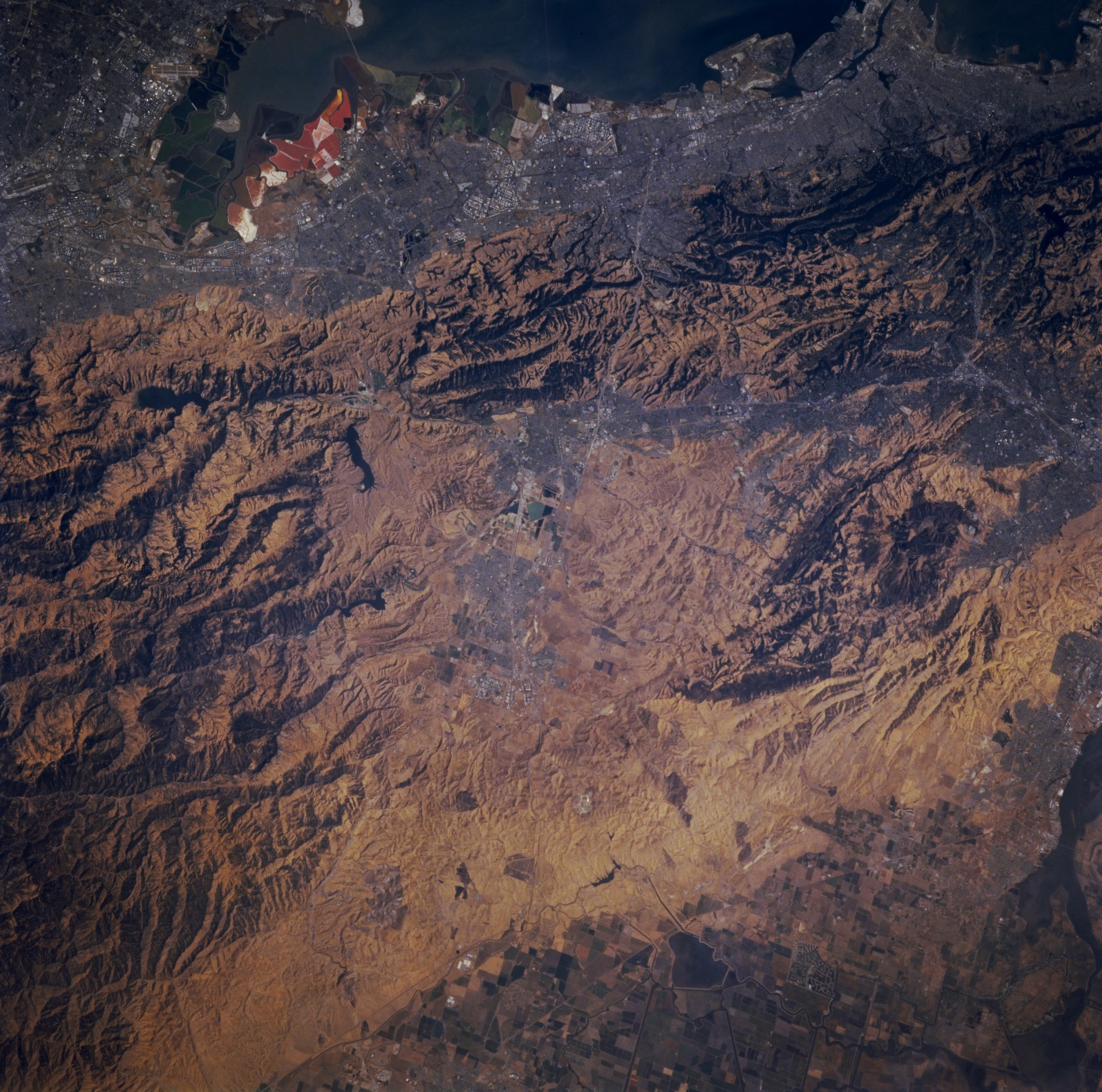
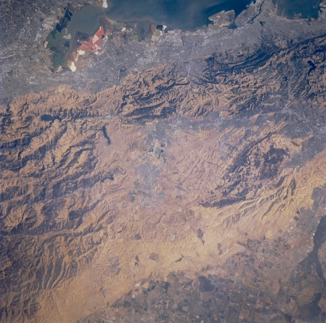
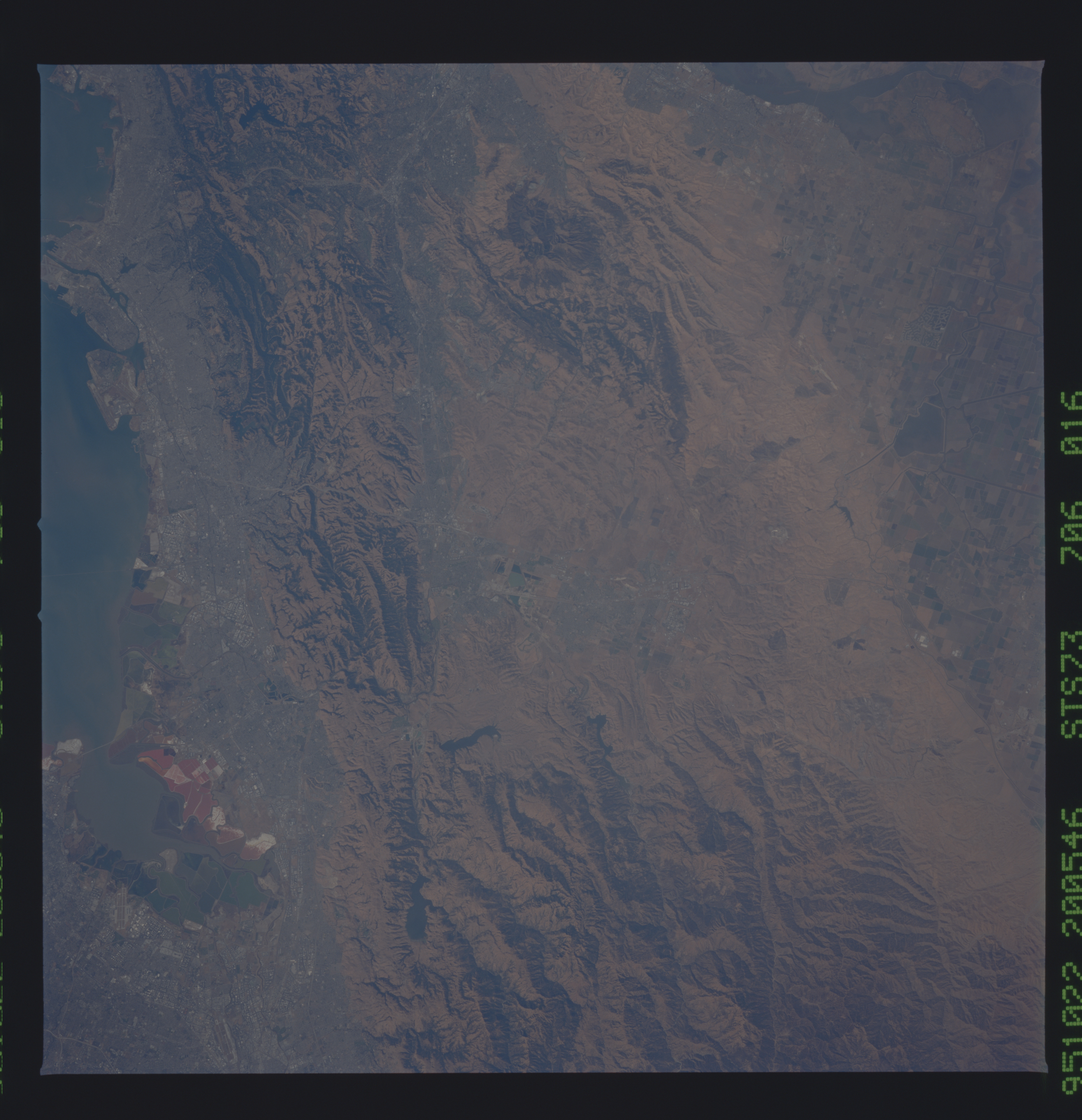
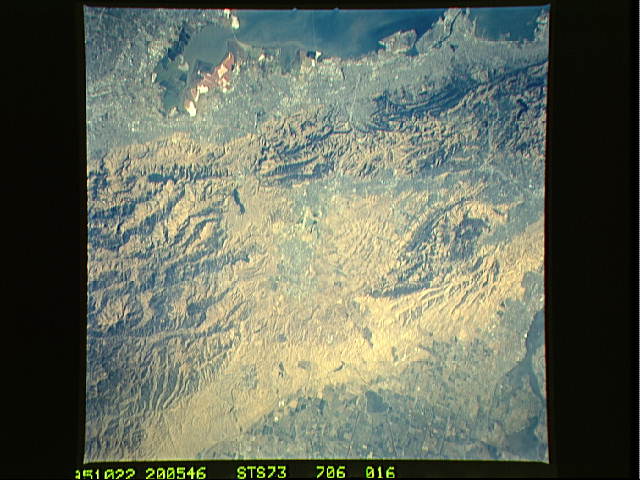
Image Caption: STS073-706-016 Livermore, California, U.S.A. October 1995
This photograph features the easily recognizable southern San Francisco Bay and the multicolored salt ponds along the south and southeast shorelines. To the east is the southern Diablo Range. None of the infrastructure of Livermore is discernible in the center of the photograph. Several ridges and hills separate the densely populated San Francisco Bay Area from the less populous valley to the east. Some cultivated field patterns are discernible in the lower right corner.
This photograph features the easily recognizable southern San Francisco Bay and the multicolored salt ponds along the south and southeast shorelines. To the east is the southern Diablo Range. None of the infrastructure of Livermore is discernible in the center of the photograph. Several ridges and hills separate the densely populated San Francisco Bay Area from the less populous valley to the east. Some cultivated field patterns are discernible in the lower right corner.
