STS073-705-55

| NASA Photo ID | STS073-705-55 |
| Focal Length | 250mm |
| Date taken | 1995.10.25 |
| Time taken | 13:50:38 GMT |
Resolutions offered for this image:
3840 x 3843 pixels 639 x 639 pixels 5700 x 5900 pixels 500 x 518 pixels 640 x 480 pixels
3840 x 3843 pixels 639 x 639 pixels 5700 x 5900 pixels 500 x 518 pixels 640 x 480 pixels

Cloud masks available for this image:
Spacecraft nadir point: 39.0° N, 75.2° W
Photo center point: 39.5° N, 74.5° W
Photo center point by machine learning:
Photo center point: 39.5° N, 74.5° W
Photo center point by machine learning:
Nadir to Photo Center: Northeast
Spacecraft Altitude: 144 nautical miles (267km)
Country or Geographic Name: | USA-NEW JERSEY |
Features: | ATLANTIC CITY, COAST, R. |
| Features Found Using Machine Learning: | |
Cloud Cover Percentage: | 0 (no clouds present) |
Sun Elevation Angle: | 25° |
Sun Azimuth: | 132° |
Camera: | Hasselblad |
Focal Length: | 250mm |
Camera Tilt: | 20 degrees |
Format: | 5046: Kodak, natural color positive, Lumiere 100/5046, ASA 100, standard base |
Film Exposure: | Normal |
| Additional Information | |
| Width | Height | Annotated | Cropped | Purpose | Links |
|---|---|---|---|---|---|
| 3840 pixels | 3843 pixels | No | No | Earth From Space collection | Download Image |
| 639 pixels | 639 pixels | No | No | Earth From Space collection | Download Image |
| 5700 pixels | 5900 pixels | No | No | Download Image | |
| 500 pixels | 518 pixels | No | No | Download Image | |
| 640 pixels | 480 pixels | No | No | Download Image |
Download Packaged File
Download a Google Earth KML for this Image
View photo footprint information
Download a GeoTIFF for this photo
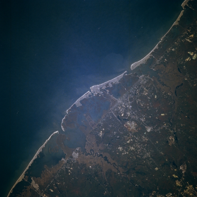
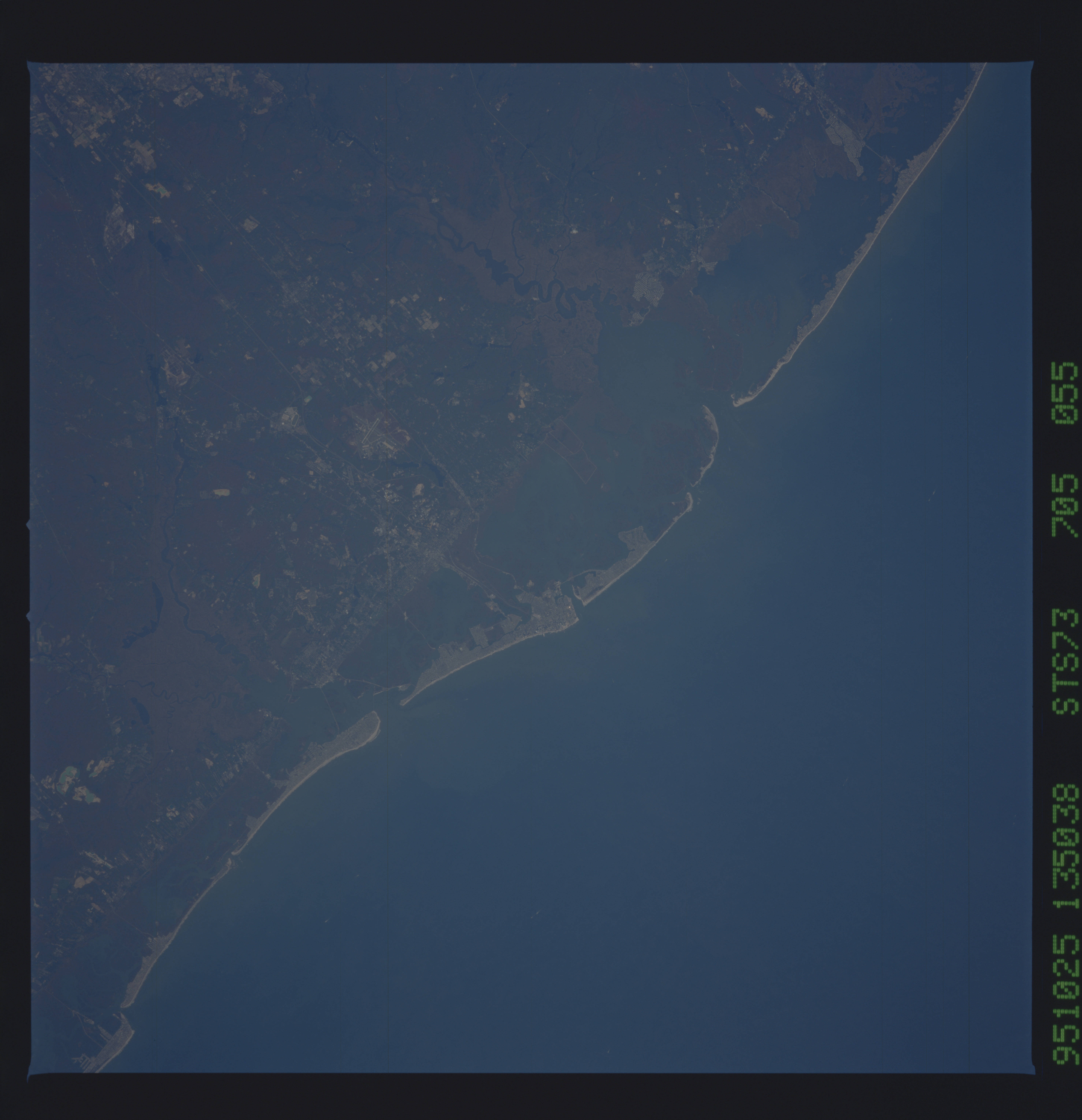
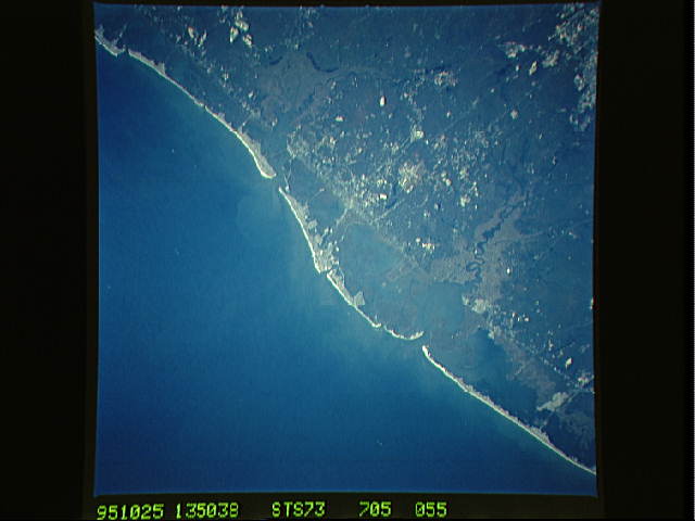
Image Caption: STS073-705-055 Atlantic City Area, New Jersey, U.S.A October 1995
Although the city is not discernible, the famous seaside resort city, Atlantic City, is located in the midst of the light-colored feature in the center of the picture. The location of Atlantic City can be ascertained by noting the several highways (thin, light-colored lines) that converge on the bright area and by looking at the general drainage patterns, including the two most prominent rivers (dark features)-the Mullica River north of Atlantic City and the Great Egg Harbor River south of the city. The extent of the barrier island beach is marked by the almost straight, naturally occurring, northeast-southwest line that extends across the image. A cross section of the landscape from the Atlantic Ocean inland is made up of extensive sandy beaches (light colored); sand dunes; barrier flats; salt marshes; and lagoons. Northwest of the barrier island beaches the land becomes more elevated and forested.
Although the city is not discernible, the famous seaside resort city, Atlantic City, is located in the midst of the light-colored feature in the center of the picture. The location of Atlantic City can be ascertained by noting the several highways (thin, light-colored lines) that converge on the bright area and by looking at the general drainage patterns, including the two most prominent rivers (dark features)-the Mullica River north of Atlantic City and the Great Egg Harbor River south of the city. The extent of the barrier island beach is marked by the almost straight, naturally occurring, northeast-southwest line that extends across the image. A cross section of the landscape from the Atlantic Ocean inland is made up of extensive sandy beaches (light colored); sand dunes; barrier flats; salt marshes; and lagoons. Northwest of the barrier island beaches the land becomes more elevated and forested.
