STS073-704-56
| NASA Photo ID | STS073-704-56 |
| Focal Length | 250mm |
| Date taken | 1995.10.22 |
| Time taken | 17:04:10 GMT |
Resolutions offered for this image:
3872 x 3904 pixels 634 x 639 pixels 5700 x 5900 pixels 500 x 518 pixels 640 x 480 pixels
3872 x 3904 pixels 634 x 639 pixels 5700 x 5900 pixels 500 x 518 pixels 640 x 480 pixels


Cloud masks available for this image:
Spacecraft nadir point: 38.5° N, 83.2° W
Photo center point: 39.0° N, 84.0° W
Photo center point by machine learning:
Photo center point: 39.0° N, 84.0° W
Photo center point by machine learning:
Nadir to Photo Center: Northwest
Spacecraft Altitude: 146 nautical miles (270km)
Country or Geographic Name: | USA-OHIO |
Features: | CINCINNATI, OHIO R., AGR. |
| Features Found Using Machine Learning: | |
Cloud Cover Percentage: | 5 (1-10)% |
Sun Elevation Angle: | 41° |
Sun Azimuth: | 176° |
Camera: | Hasselblad |
Focal Length: | 250mm |
Camera Tilt: | 21 degrees |
Format: | 5046: Kodak, natural color positive, Lumiere 100/5046, ASA 100, standard base |
Film Exposure: | Normal |
| Additional Information | |
| Width | Height | Annotated | Cropped | Purpose | Links |
|---|---|---|---|---|---|
| 3872 pixels | 3904 pixels | No | No | Earth From Space collection | Download Image |
| 634 pixels | 639 pixels | No | No | Earth From Space collection | Download Image |
| 5700 pixels | 5900 pixels | No | No | Download Image | |
| 500 pixels | 518 pixels | No | No | Download Image | |
| 640 pixels | 480 pixels | No | No | Download Image |
Download Packaged File
Download a Google Earth KML for this Image
View photo footprint information
Download a GeoTIFF for this photo
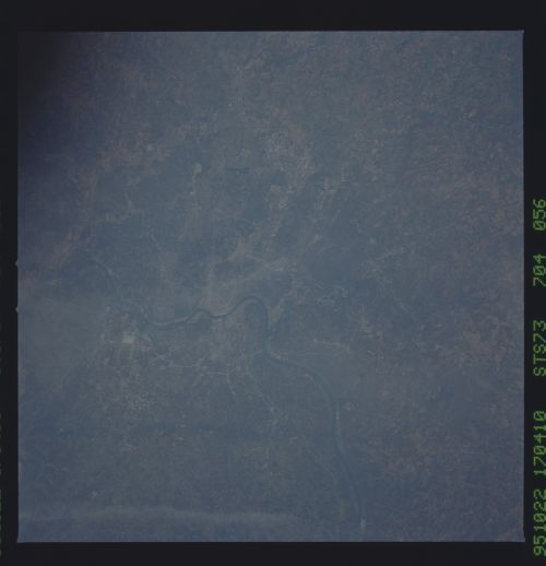
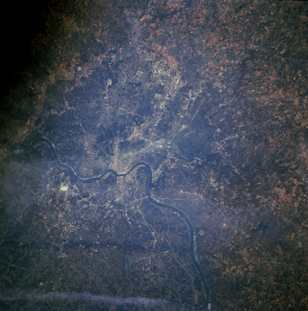
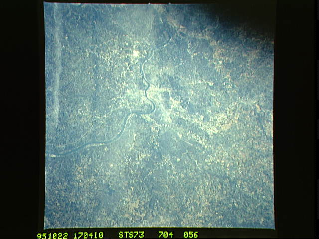
Image Caption: STS073-704-056 Ohio River and Cincinnati, Ohio, U.S.A. October 1995
Cincinnati, Ohio, and Covington, Kentucky, are apparent in this north-northwest-looking, low-oblique photograph. Situated on the north side of the Ohio River is Cincinnati, an industrial, commercial, and cultural center with a large riverfront and good transportation facilities. The city suffered from severe floods in 1884 and 1937, but federal and state flood control projects have greatly reduced flooding dangers. Cincinnati was home to William Howard Taft, 27th president of the United States. Covington, Kentucky, lies on the south bank of the Ohio River. It, too, is an industrial city with a large riverfront and good transportation facilities. The Cincinnati-Northern Kentucky International Airport lies west of Covington (midway between center and left center).
Cincinnati, Ohio, and Covington, Kentucky, are apparent in this north-northwest-looking, low-oblique photograph. Situated on the north side of the Ohio River is Cincinnati, an industrial, commercial, and cultural center with a large riverfront and good transportation facilities. The city suffered from severe floods in 1884 and 1937, but federal and state flood control projects have greatly reduced flooding dangers. Cincinnati was home to William Howard Taft, 27th president of the United States. Covington, Kentucky, lies on the south bank of the Ohio River. It, too, is an industrial city with a large riverfront and good transportation facilities. The Cincinnati-Northern Kentucky International Airport lies west of Covington (midway between center and left center).
