STS072-721-88
| NASA Photo ID | STS072-721-88 |
| Focal Length | 250mm |
| Date taken | 1996.01.17 |
| Time taken | 01:26:35 GMT |
Cloud masks available for this image:
Spacecraft nadir point: 9.6° S, 113.1° E
Photo center point: 8.5° S, 113.5° E
Photo center point by machine learning:
Photo center point: 8.5° S, 113.5° E
Photo center point by machine learning:
Nadir to Photo Center: North
Spacecraft Altitude: 166 nautical miles (307km)
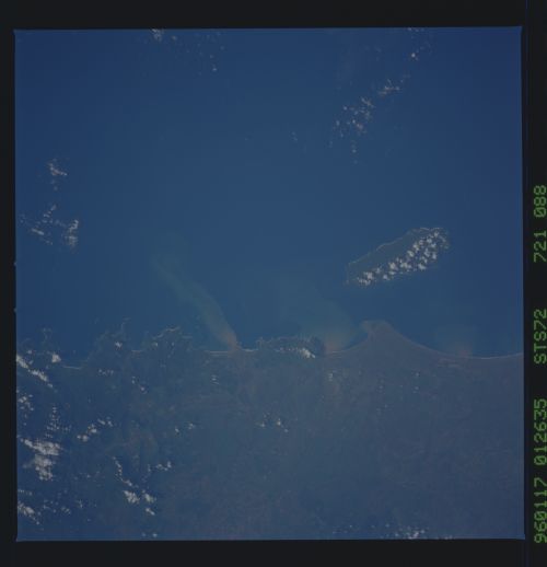
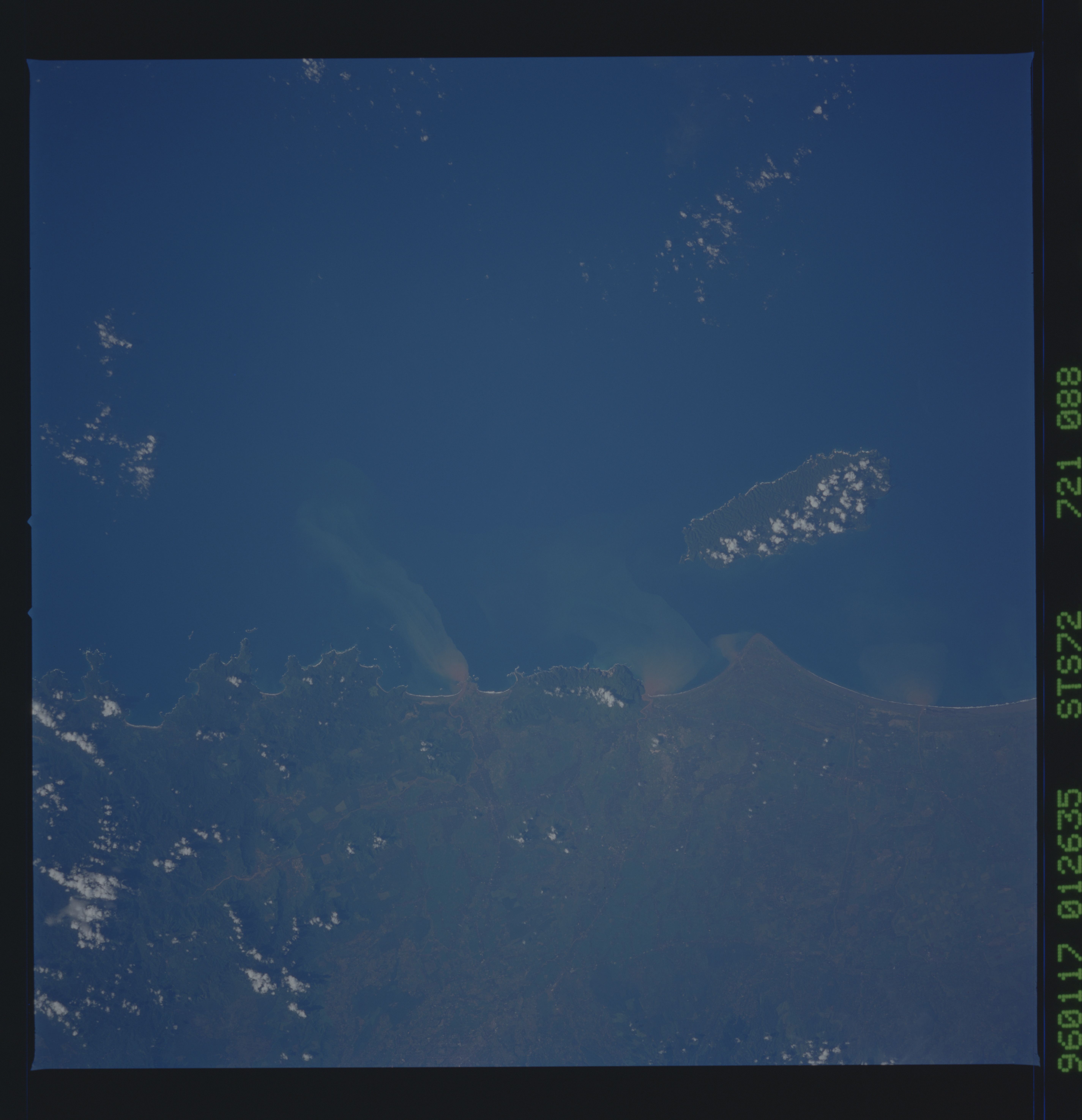
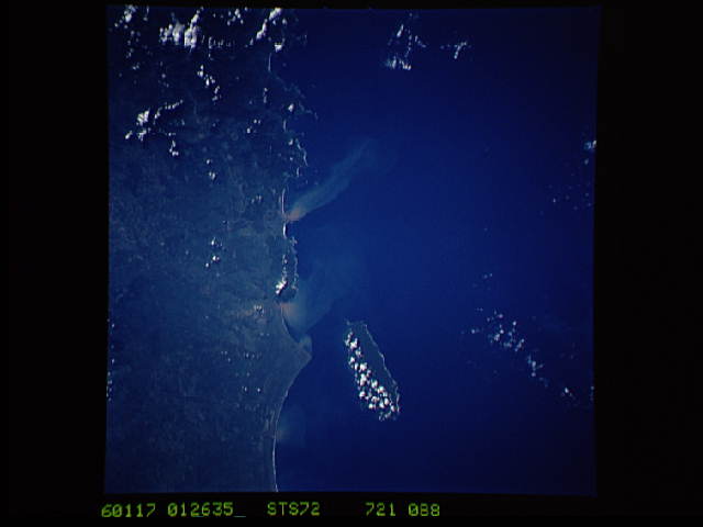
Country or Geographic Name: | INDONESIA-J |
Features: | SEDIMENT PLUME, BARUNG I. |
| Features Found Using Machine Learning: | |
Cloud Cover Percentage: | 5 (1-10)% |
Sun Elevation Angle: | 43° |
Sun Azimuth: | 110° |
Camera: | Hasselblad |
Focal Length: | 250mm |
Camera Tilt: | 23 degrees |
Format: | 5046: Kodak, natural color positive, Lumiere 100/5046, ASA 100, standard base |
Film Exposure: | Normal |
| Additional Information | |
| Width | Height | Annotated | Cropped | Purpose | Links |
|---|---|---|---|---|---|
| 5700 pixels | 5900 pixels | No | No | Download Image | |
| 500 pixels | 518 pixels | No | No | Download Image | |
| 640 pixels | 480 pixels | No | No | Download Image |
Download Packaged File
Download a Google Earth KML for this Image
View photo footprint information
Download a GeoTIFF for this photo
Image Caption: Sunglint as a Tool for Oceanographic and Meteorological
features. Around the island of Barung, off of southeast Java,
Indonesia. In frame 85, the sunglint allows us to obtain the wind
direction by the island wake and also see the sea swell and oils
floating on the surface. Without the sunglint we see the color of the
water more vividly and can track sediment distributions such as that
from the Bedading River.
