STS072-710-46

| NASA Photo ID | STS072-710-46 |
| Focal Length | 40mm |
| Date taken | 1996.01.12 |
| Time taken | 05:45:55 GMT |
Cloud masks available for this image:
Spacecraft nadir point: 8.2° N, 54.9° E
Photo center point: 8.0° N, 49.5° E
Photo center point by machine learning:
Photo center point: 8.0° N, 49.5° E
Photo center point by machine learning:
Nadir to Photo Center: West
Spacecraft Altitude: 185 nautical miles (343km)
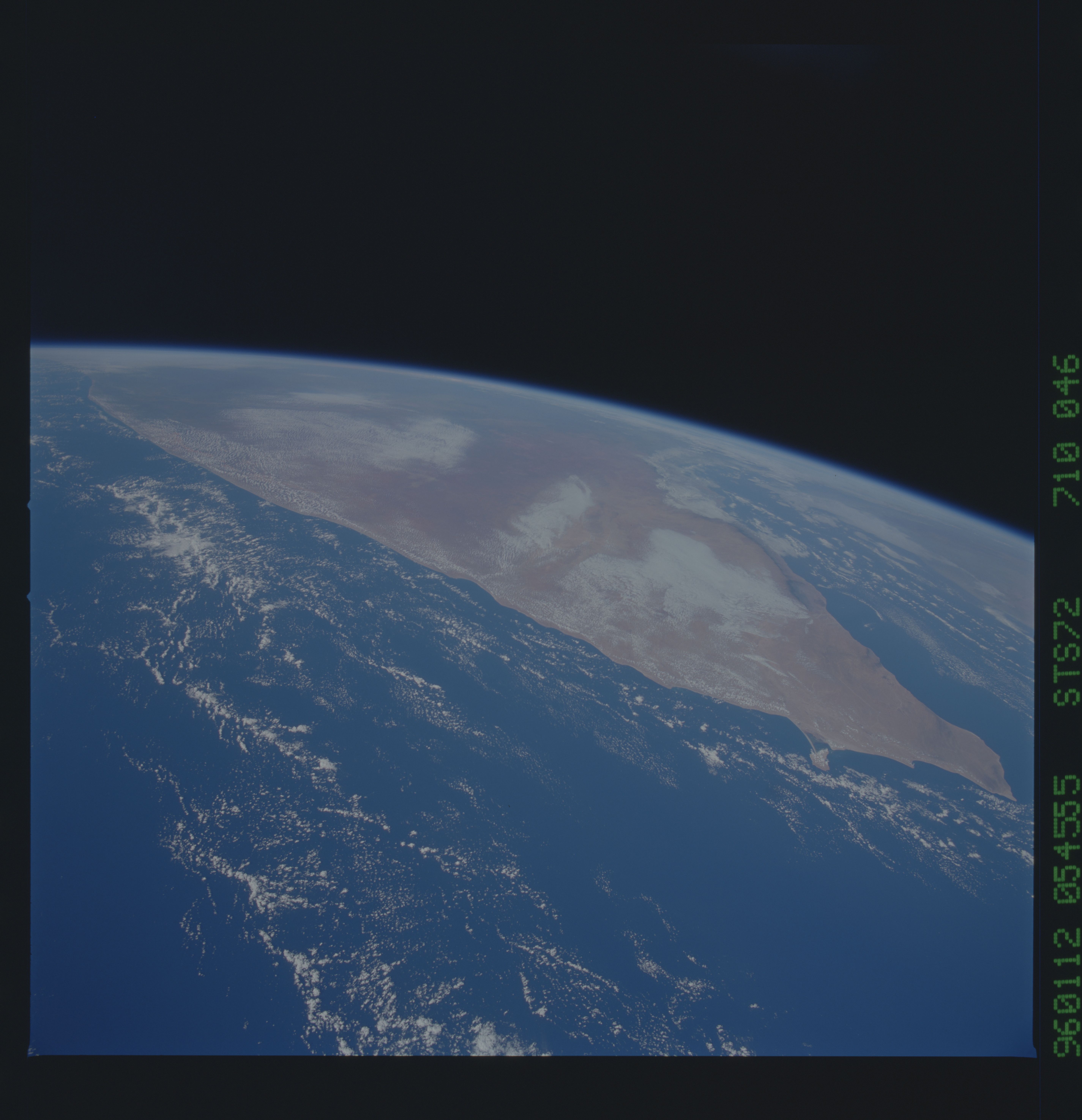
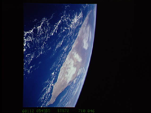
Country or Geographic Name: | SOMALIA |
Features: | PAN-COAST, INDIAN OCEAN |
| Features Found Using Machine Learning: | |
Cloud Cover Percentage: | 20 (11-25)% |
Sun Elevation Angle: | 40° |
Sun Azimuth: | 128° |
Camera: | Hasselblad |
Focal Length: | 40mm |
Camera Tilt: | High Oblique |
Format: | 5046: Kodak, natural color positive, Lumiere 100/5046, ASA 100, standard base |
Film Exposure: | Normal |
| Additional Information | |
| Width | Height | Annotated | Cropped | Purpose | Links |
|---|---|---|---|---|---|
| 5700 pixels | 5900 pixels | No | No | Download Image | |
| 500 pixels | 518 pixels | No | No | Download Image | |
| 640 pixels | 480 pixels | No | No | Download Image |
Download Packaged File
Download a Google Earth KML for this Image
View photo footprint information
Download a GeoTIFF for this photo
Image Caption: 39 Just along the coast of Somalia, the
orographic features of the land channel strong winds down to the
coastal plains. In this series of shots, we see the warm air being
channeled out to sea, forming a land breeze front offshore, which
extends toward the regions where the channeling occurs.
orographic features of the land channel strong winds down to the
coastal plains. In this series of shots, we see the warm air being
channeled out to sea, forming a land breeze front offshore, which
extends toward the regions where the channeling occurs.
