STS070-710-1
| NASA Photo ID | STS070-710-1 |
| Focal Length | 250mm |
| Date taken | 1995.07.17 |
| Time taken | 12:47:10 GMT |
Resolutions offered for this image:
3872 x 3872 pixels 639 x 639 pixels 5700 x 5900 pixels 500 x 518 pixels 640 x 480 pixels
3872 x 3872 pixels 639 x 639 pixels 5700 x 5900 pixels 500 x 518 pixels 640 x 480 pixels


Cloud masks available for this image:
Spacecraft nadir point: 27.2° N, 80.0° W
Photo center point: 27.0° N, 80.0° W
Photo center point by machine learning:
Photo center point: 27.0° N, 80.0° W
Photo center point by machine learning:
Nadir to Photo Center: South
Spacecraft Altitude: 157 nautical miles (291km)
Country or Geographic Name: | USA-FLORIDA |
Features: | WEST PALM BEACH, ROADS |
| Features Found Using Machine Learning: | |
Cloud Cover Percentage: | 0 (no clouds present) |
Sun Elevation Angle: | 27° |
Sun Azimuth: | 79° |
Camera: | Hasselblad |
Focal Length: | 250mm |
Camera Tilt: | 4 degrees |
Format: | 5046: Kodak, natural color positive, Lumiere 100/5046, ASA 100, standard base |
Film Exposure: | Normal |
| Additional Information | |
| Width | Height | Annotated | Cropped | Purpose | Links |
|---|---|---|---|---|---|
| 3872 pixels | 3872 pixels | No | No | Earth From Space collection | Download Image |
| 639 pixels | 639 pixels | No | No | Earth From Space collection | Download Image |
| 5700 pixels | 5900 pixels | No | No | Download Image | |
| 500 pixels | 518 pixels | No | No | Download Image | |
| 640 pixels | 480 pixels | No | No | Download Image |
Download Packaged File
Download a Google Earth KML for this Image
View photo footprint information
Download a GeoTIFF for this photo
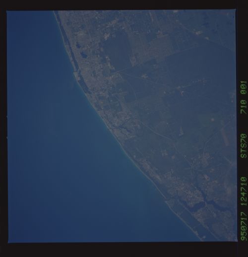
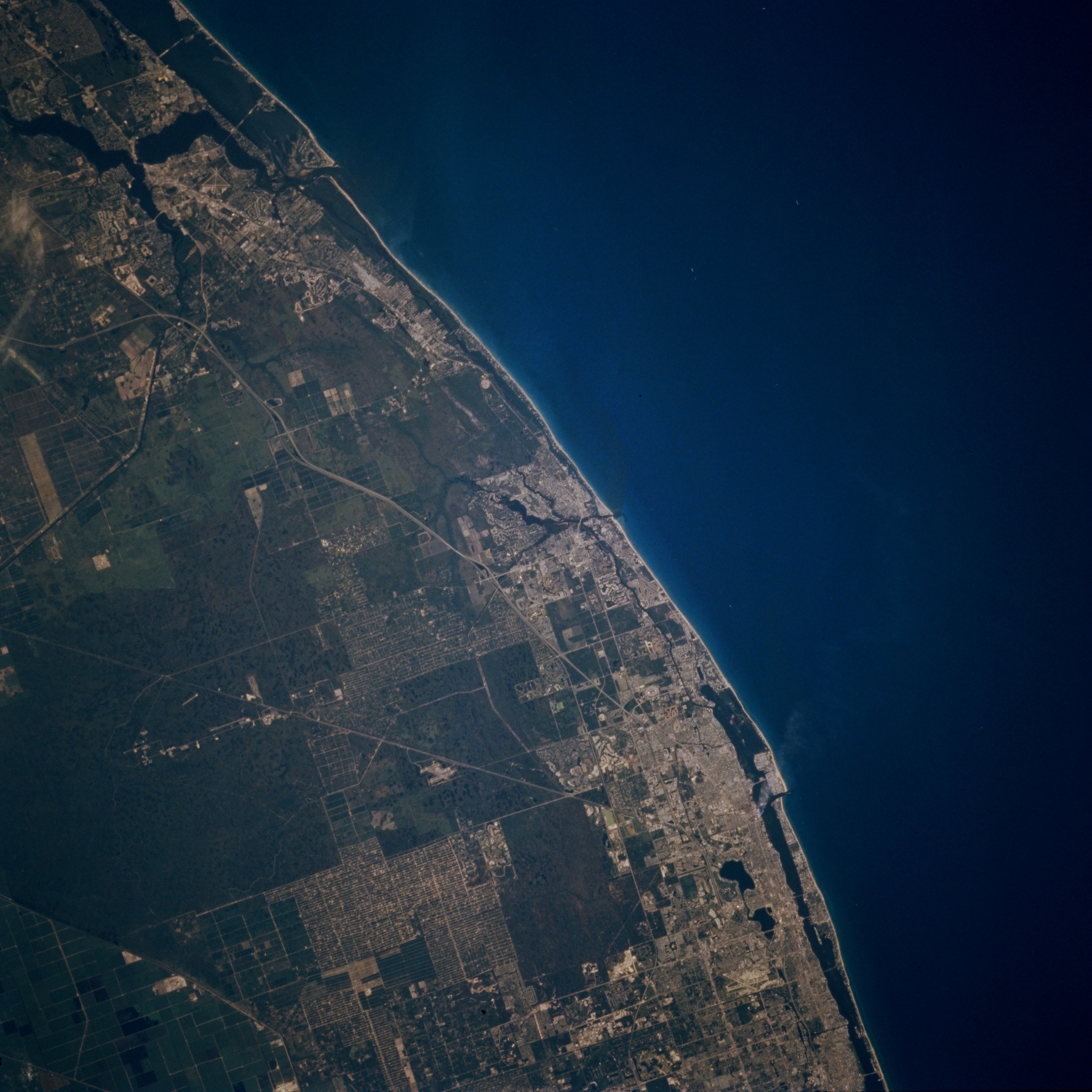
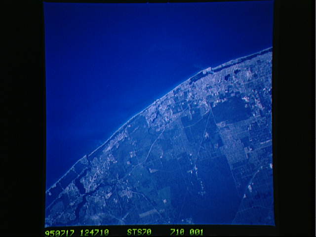
Image Caption: STS070-710-001 East Coast Florida, U.S.A. July 1995
Urban expansion along Florida's east coast from near Stuart in the north to West Palm Beach in the south is easy to identify as lighter, clustered landscape primarily along the shoreline. Darker colors denote nonmetropolitan areas--the water inlet (upper left) with passage through the coastal beaches immediately north of Stuart; the smaller, Y-shaped inlet (near center) at Jupiter; two lakes near the coast adjacent to West Palm Beach; and undeveloped, poorly drained swamplands toward the interior. The light straight and gently curving lines are either canals connecting Lake Okeechobee to coastal east Florida or segments of major highways; e.g., Florida Turnpike, Interstate Highway 95, and U.S. Highway 1.
Urban expansion along Florida's east coast from near Stuart in the north to West Palm Beach in the south is easy to identify as lighter, clustered landscape primarily along the shoreline. Darker colors denote nonmetropolitan areas--the water inlet (upper left) with passage through the coastal beaches immediately north of Stuart; the smaller, Y-shaped inlet (near center) at Jupiter; two lakes near the coast adjacent to West Palm Beach; and undeveloped, poorly drained swamplands toward the interior. The light straight and gently curving lines are either canals connecting Lake Okeechobee to coastal east Florida or segments of major highways; e.g., Florida Turnpike, Interstate Highway 95, and U.S. Highway 1.
