STS069-729-20
| NASA Photo ID | STS069-729-20 |
| Focal Length | 100mm |
| Date taken | 1995.09.11 |
| Time taken | 20:30:23 GMT |
Resolutions offered for this image:
3872 x 3904 pixels 634 x 639 pixels 5700 x 5900 pixels 500 x 518 pixels 640 x 480 pixels
3872 x 3904 pixels 634 x 639 pixels 5700 x 5900 pixels 500 x 518 pixels 640 x 480 pixels

Cloud masks available for this image:
Spacecraft nadir point: 23.5° N, 157.2° W
Photo center point: 21.5° N, 158.0° W
Photo center point by machine learning:
Photo center point: 21.5° N, 158.0° W
Photo center point by machine learning:
Nadir to Photo Center: South
Spacecraft Altitude: 215 nautical miles (398km)
Camera: | Hasselblad |
Focal Length: | 100mm |
Camera Tilt: | 31 degrees |
Format: | 5046: Kodak, natural color positive, Lumiere 100/5046, ASA 100, standard base |
Film Exposure: | Normal |
| Additional Information | |
| Width | Height | Annotated | Cropped | Purpose | Links |
|---|---|---|---|---|---|
| 3872 pixels | 3904 pixels | No | No | Earth From Space collection | Download Image |
| 634 pixels | 639 pixels | No | No | Earth From Space collection | Download Image |
| 5700 pixels | 5900 pixels | No | No | Download Image | |
| 500 pixels | 518 pixels | No | No | Download Image | |
| 640 pixels | 480 pixels | No | No | Download Image |
Download Packaged File
Download a Google Earth KML for this Image
View photo footprint information
Download a GeoTIFF for this photo
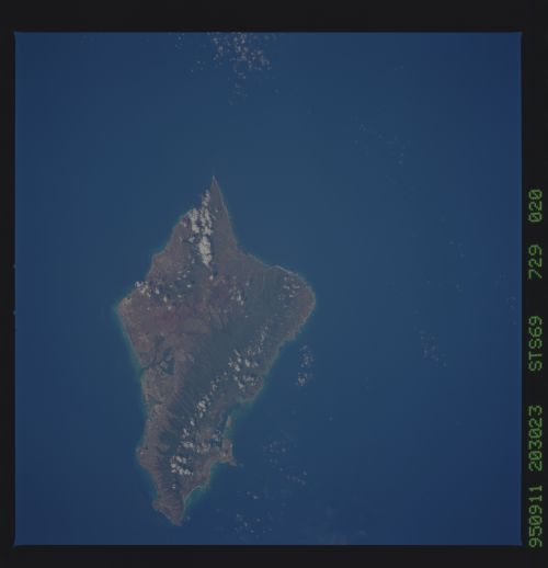
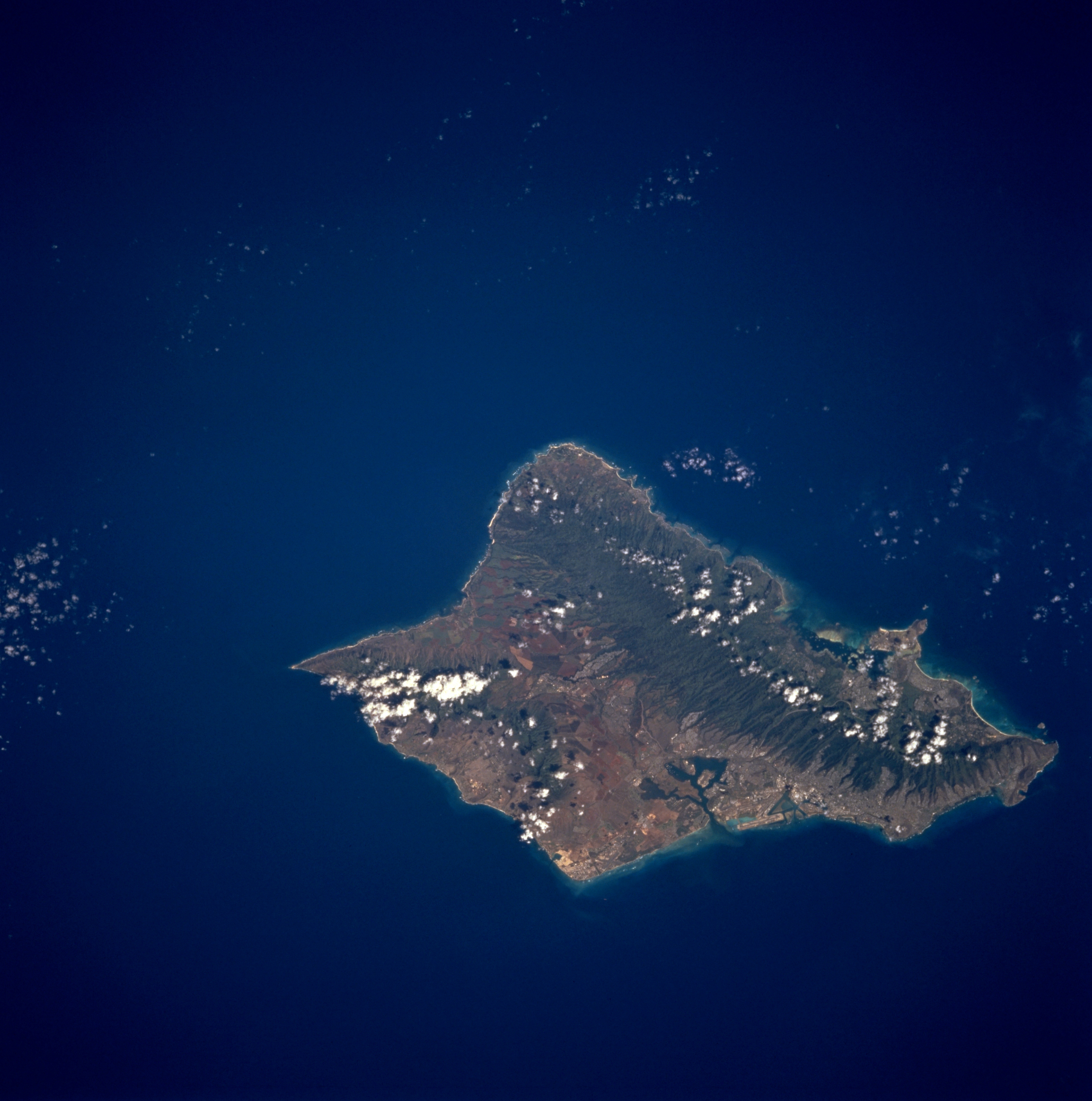
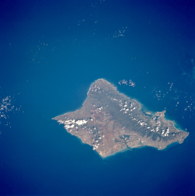
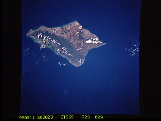
Image Caption: STS069-729-020 Oahu, Hawaii, U.S.A. September 1995
Framed by the dark Pacific Ocean, Oahu appears as an emerald oasis. The green, heavily forested slopes of the Koolau Range on the northeast side of the island are separated from the higher but smaller Waianae Range near the southwest coast by a small, cultivated valley. These three physiographic landforms are aligned in a general northwest-southeast direction. Apparent on the south of Oahu are Honolulu International Airport, Pearl Harbor, Honolulu, and Diamond Head Crater.
Framed by the dark Pacific Ocean, Oahu appears as an emerald oasis. The green, heavily forested slopes of the Koolau Range on the northeast side of the island are separated from the higher but smaller Waianae Range near the southwest coast by a small, cultivated valley. These three physiographic landforms are aligned in a general northwest-southeast direction. Apparent on the south of Oahu are Honolulu International Airport, Pearl Harbor, Honolulu, and Diamond Head Crater.
