STS069-724-15
| NASA Photo ID | STS069-724-15 |
| Focal Length | 250mm |
| Date taken | 1995.09.12 |
| Time taken | 13:21:42 GMT |
Cloud masks available for this image:
Spacecraft nadir point: 27.7° N, 77.1° W
Photo center point: 26.5° N, 78.5° W
Photo center point by machine learning:
Photo center point: 26.5° N, 78.5° W
Photo center point by machine learning:
Nadir to Photo Center: Southwest
Spacecraft Altitude: 216 nautical miles (400km)
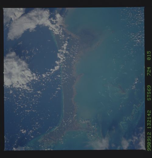
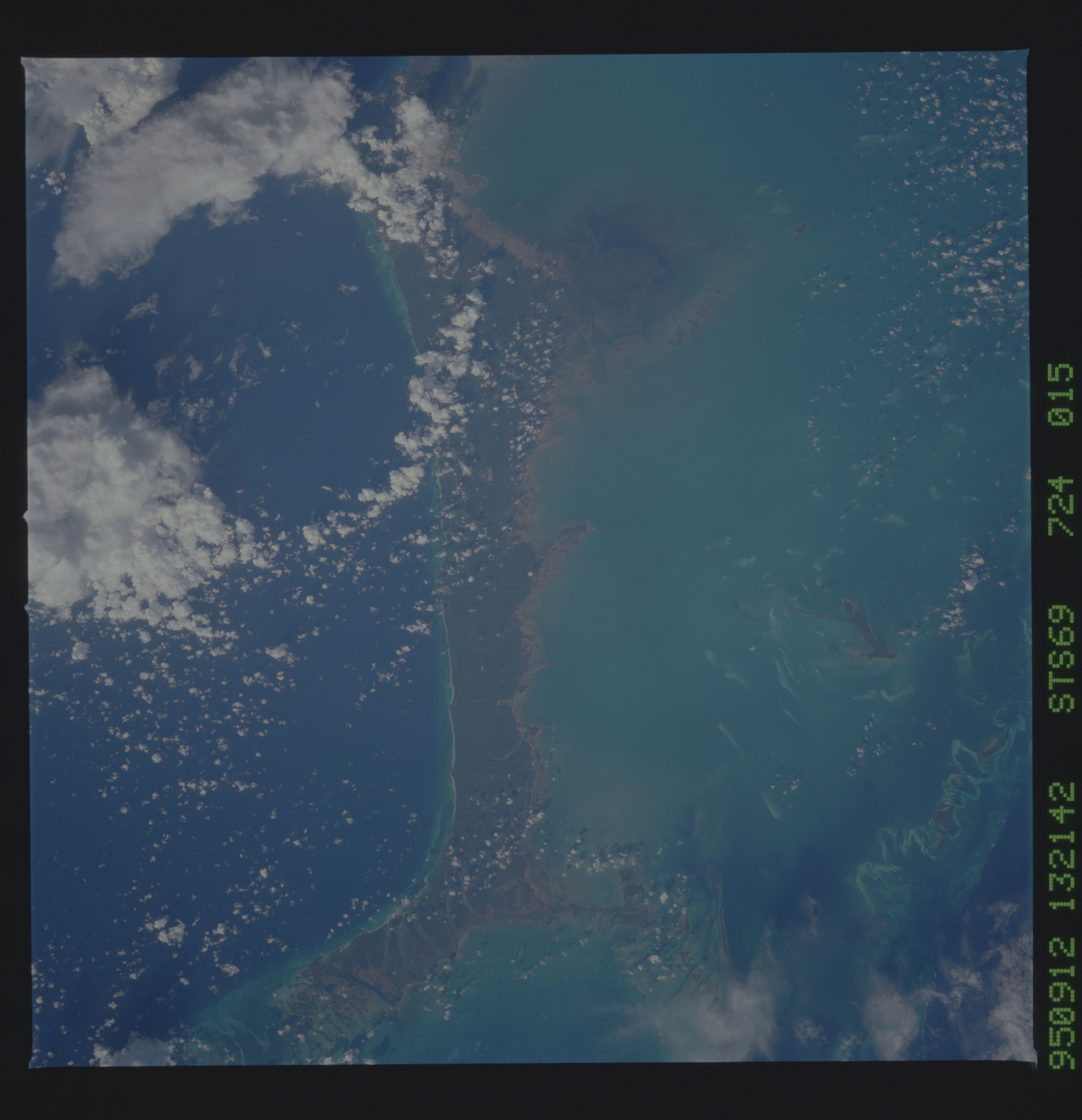
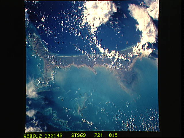
Country or Geographic Name: | BAHAMAS |
Features: | GRAND BAHAMA ISLAND, REEF |
| Features Found Using Machine Learning: | |
Cloud Cover Percentage: | 20 (11-25)% |
Sun Elevation Angle: | 32° |
Sun Azimuth: | 103° |
Camera: | Hasselblad |
Focal Length: | 250mm |
Camera Tilt: | 27 degrees |
Format: | 5046: Kodak, natural color positive, Lumiere 100/5046, ASA 100, standard base |
Film Exposure: | Normal |
| Additional Information | |
| Width | Height | Annotated | Cropped | Purpose | Links |
|---|---|---|---|---|---|
| 5700 pixels | 5900 pixels | No | No | Download Image | |
| 500 pixels | 518 pixels | No | No | Download Image | |
| 640 pixels | 480 pixels | No | No | Download Image |
Download Packaged File
Download a Google Earth KML for this Image
View photo footprint information
Download a GeoTIFF for this photo
Image Caption: Grand Bahama Island and the Little Bahama Bank. The
town of Freeport is under a cloud at the edge of the frame. Very
distinct whitings within the water of the Bank show a similar tone to
the sand bars that rim tidal channels along the edge of the bank.
Krakatoa
town of Freeport is under a cloud at the edge of the frame. Very
distinct whitings within the water of the Bank show a similar tone to
the sand bars that rim tidal channels along the edge of the bank.
Krakatoa
