STS068-274-23

| NASA Photo ID | STS068-274-23 |
| Focal Length | 250mm |
| Date taken | 1994.10.03 |
| Time taken | 18:10:46 GMT |
Cloud masks available for this image:
Spacecraft nadir point: 46.3° N, 85.2° W
Photo center point: 46.5° N, 84.5° W
Photo center point by machine learning:
Photo center point: 46.5° N, 84.5° W
Photo center point by machine learning:
Nadir to Photo Center: East
Spacecraft Altitude: 117 nautical miles (217km)
Country or Geographic Name: | USA-MICHIGAN |
Features: | SAULT STE MARIE |
| Features Found Using Machine Learning: | |
Cloud Cover Percentage: | 5 (1-10)% |
Sun Elevation Angle: | 39° |
Sun Azimuth: | 193° |
Camera: | Hasselblad |
Focal Length: | 250mm |
Camera Tilt: | 21 degrees |
Format: | 5046: Kodak, natural color positive, Lumiere 100/5046, ASA 100, standard base |
Film Exposure: | Normal |
| Additional Information | |
| Width | Height | Annotated | Cropped | Purpose | Links |
|---|---|---|---|---|---|
| 5700 pixels | 5900 pixels | No | No | Download Image | |
| 500 pixels | 518 pixels | No | No | Download Image | |
| 640 pixels | 480 pixels | No | No | Download Image |
Download Packaged File
Download a Google Earth KML for this Image
View photo footprint information
Download a GeoTIFF for this photo
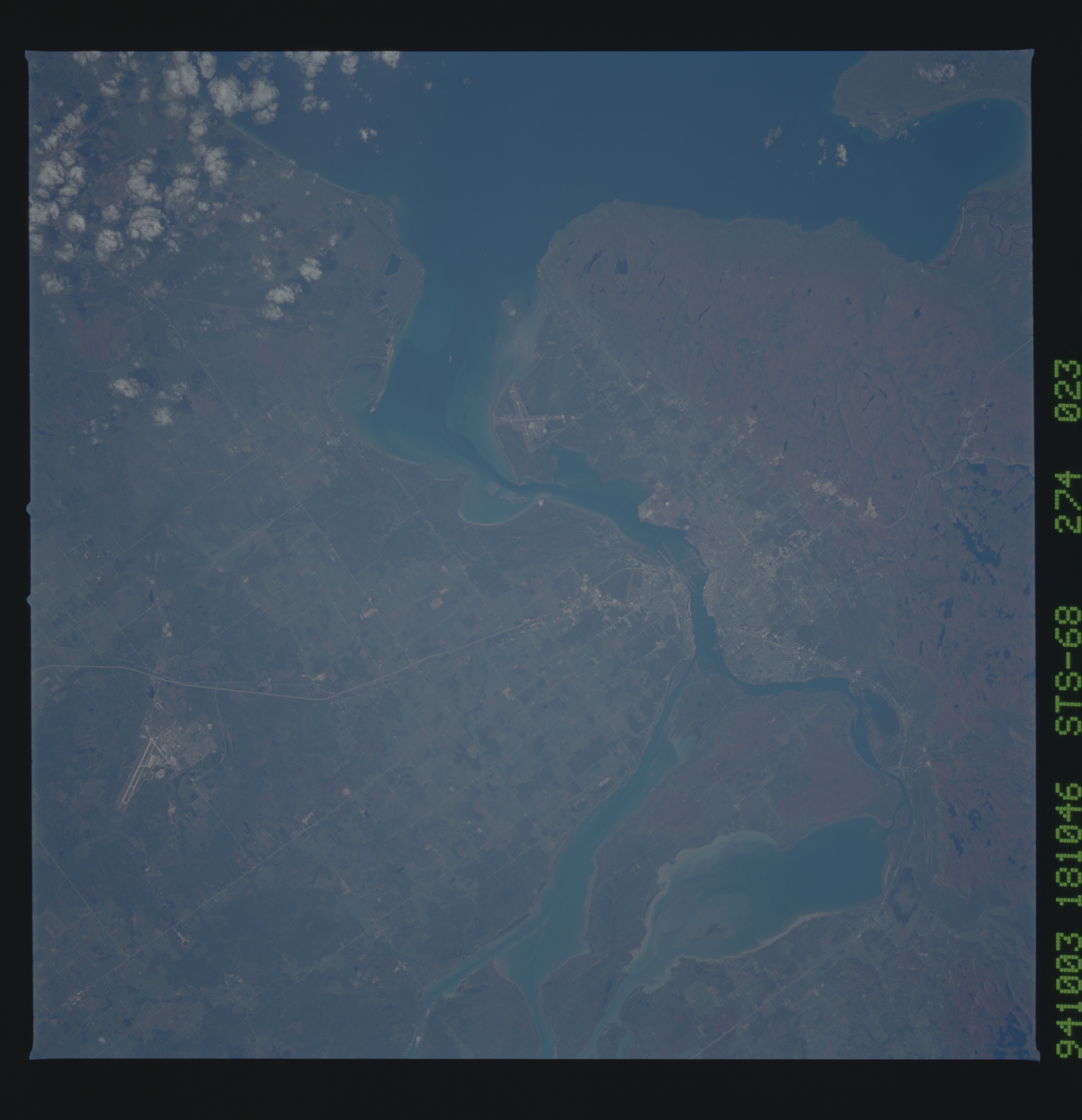
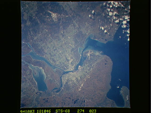
Image Caption: STS068-274-23 Sault Saint Marie
Sault Saint Marie is the city located just below center. To the bottom
of this photograph (north is to the lower right corner) is Canada,
toward the top is the state of Michigan. The fall colors (reds and
greens) are especially distinctive in this photograph taken in October
1994. The island to the left of Sault Saint Marie is Sugar Island. Two
airports are also visible, one in Sault Saint Marie ("X" shape) and
the other is the Chippewa County International Airport. T581
