STS068-272-41

| NASA Photo ID | STS068-272-41 |
| Focal Length | 100mm |
| Date taken | 1994.10.03 |
| Time taken | 19:37:21 GMT |
Cloud masks available for this image:
Spacecraft nadir point: 51.4° N, 118.5° W
Photo center point: 48.0° N, 123.0° W
Photo center point by machine learning:
Photo center point: 48.0° N, 123.0° W
Photo center point by machine learning:
Nadir to Photo Center: Southwest
Spacecraft Altitude: 116 nautical miles (215km)
Country or Geographic Name: | USA-WASHINGTON |
Features: | VANCOUVER, N CASCADES |
| Features Found Using Machine Learning: | |
Cloud Cover Percentage: | 10 (1-10)% |
Sun Elevation Angle: | 35° |
Sun Azimuth: | 178° |
Camera: | Hasselblad |
Focal Length: | 100mm |
Camera Tilt: | High Oblique |
Format: | 5046: Kodak, natural color positive, Lumiere 100/5046, ASA 100, standard base |
Film Exposure: | Normal |
| Additional Information | |
| Width | Height | Annotated | Cropped | Purpose | Links |
|---|---|---|---|---|---|
| 5700 pixels | 5900 pixels | No | No | Download Image | |
| 500 pixels | 518 pixels | No | No | Download Image | |
| 640 pixels | 480 pixels | No | No | Download Image |
Download Packaged File
Download a Google Earth KML for this Image
View photo footprint information
Download a GeoTIFF for this photo
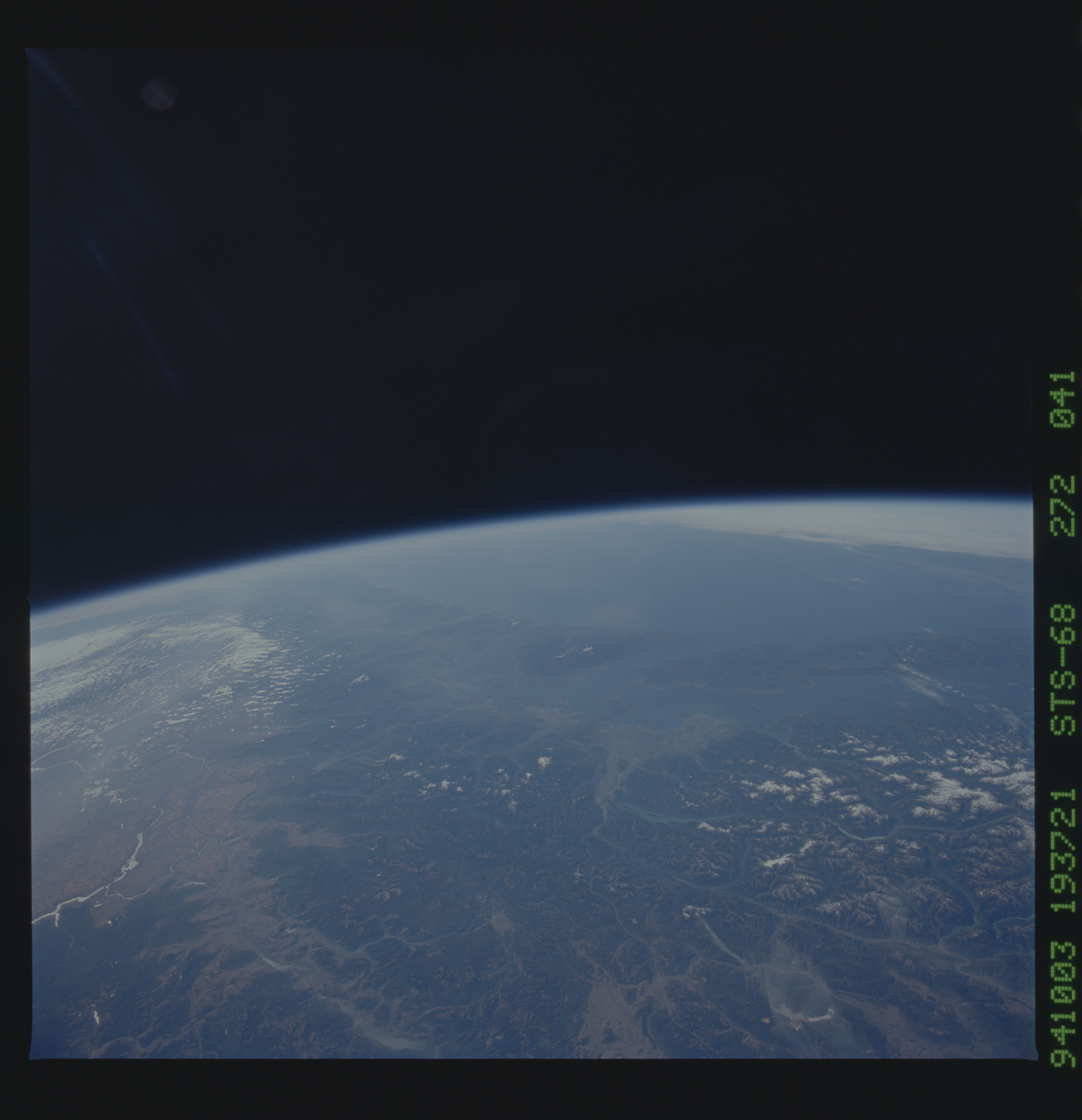
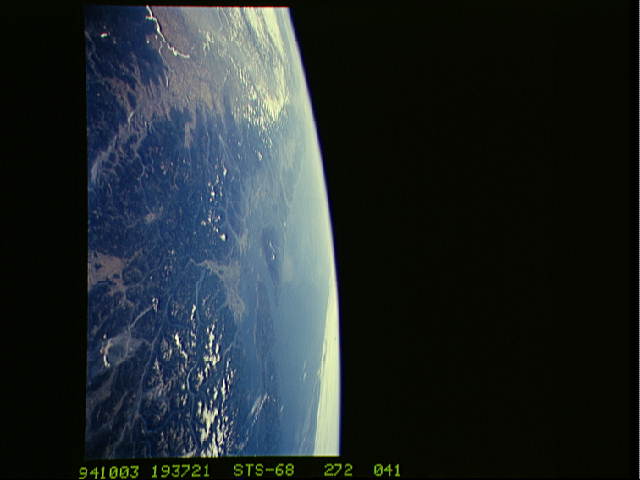
Image Caption: STS068-272-41 Vancouver, British Columbia
A spectacular high oblique view of the southern portion of British
Columbia and the northern part of Washington state. At center is the
northern end of the Olympic Peninsula. To the right (north) is the
southern end of Vancouver Island. The city of Vancouver is on the
mainland, west of the southern part of Vancouver Island (in the light
gray area along the coast). The green area with the snow covered peaks
extending from center to left center is the Cascade Range. Mount Baker
is the snow-covered volcano located southeast of Vancouver. The next
major volcano visible in this view is Mount Ranier (south of Mount
Baker). To the west of the Cascade Range is the Willamette Valley, and
to the east of the Cascades in this view is the brown colored Columbia
Basin. T251
