STS068-269-4
| NASA Photo ID | STS068-269-4 |
| Focal Length | 250mm |
| Date taken | 1994.10.04 |
| Time taken | 05:55:30 GMT |
Resolutions offered for this image:
4787 x 4787 pixels 639 x 639 pixels 5700 x 5900 pixels 500 x 518 pixels 640 x 480 pixels
4787 x 4787 pixels 639 x 639 pixels 5700 x 5900 pixels 500 x 518 pixels 640 x 480 pixels
Cloud masks available for this image:
Spacecraft nadir point: 56.4° N, 62.2° E
Photo center point: 57.0° N, 60.5° E
Photo center point by machine learning:
Photo center point: 57.0° N, 60.5° E
Photo center point by machine learning:
Nadir to Photo Center: West
Spacecraft Altitude: 117 nautical miles (217km)
Country or Geographic Name: | RUSSIAN FEDERATION |
Features: | CITY OF SVERDLOVSK, LAKES |
| Features Found Using Machine Learning: | |
Cloud Cover Percentage: | 0 (no clouds present) |
Sun Elevation Angle: | 26° |
Sun Azimuth: | 151° |
Camera: | Hasselblad |
Focal Length: | 250mm |
Camera Tilt: | 43 degrees |
Format: | 5046: Kodak, natural color positive, Lumiere 100/5046, ASA 100, standard base |
Film Exposure: | Normal |
| Additional Information | |
| Width | Height | Annotated | Cropped | Purpose | Links |
|---|---|---|---|---|---|
| 4787 pixels | 4787 pixels | No | No | Earth From Space collection | Download Image |
| 639 pixels | 639 pixels | No | No | Earth From Space collection | Download Image |
| 5700 pixels | 5900 pixels | No | No | Download Image | |
| 500 pixels | 518 pixels | No | No | Download Image | |
| 640 pixels | 480 pixels | No | No | Download Image |
Download Packaged File
Download a Google Earth KML for this Image
View photo footprint information
Download a GeoTIFF for this photo
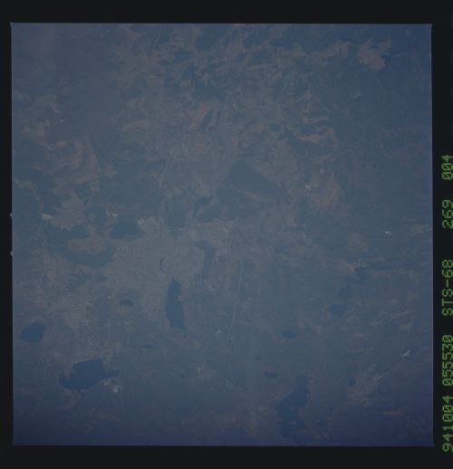
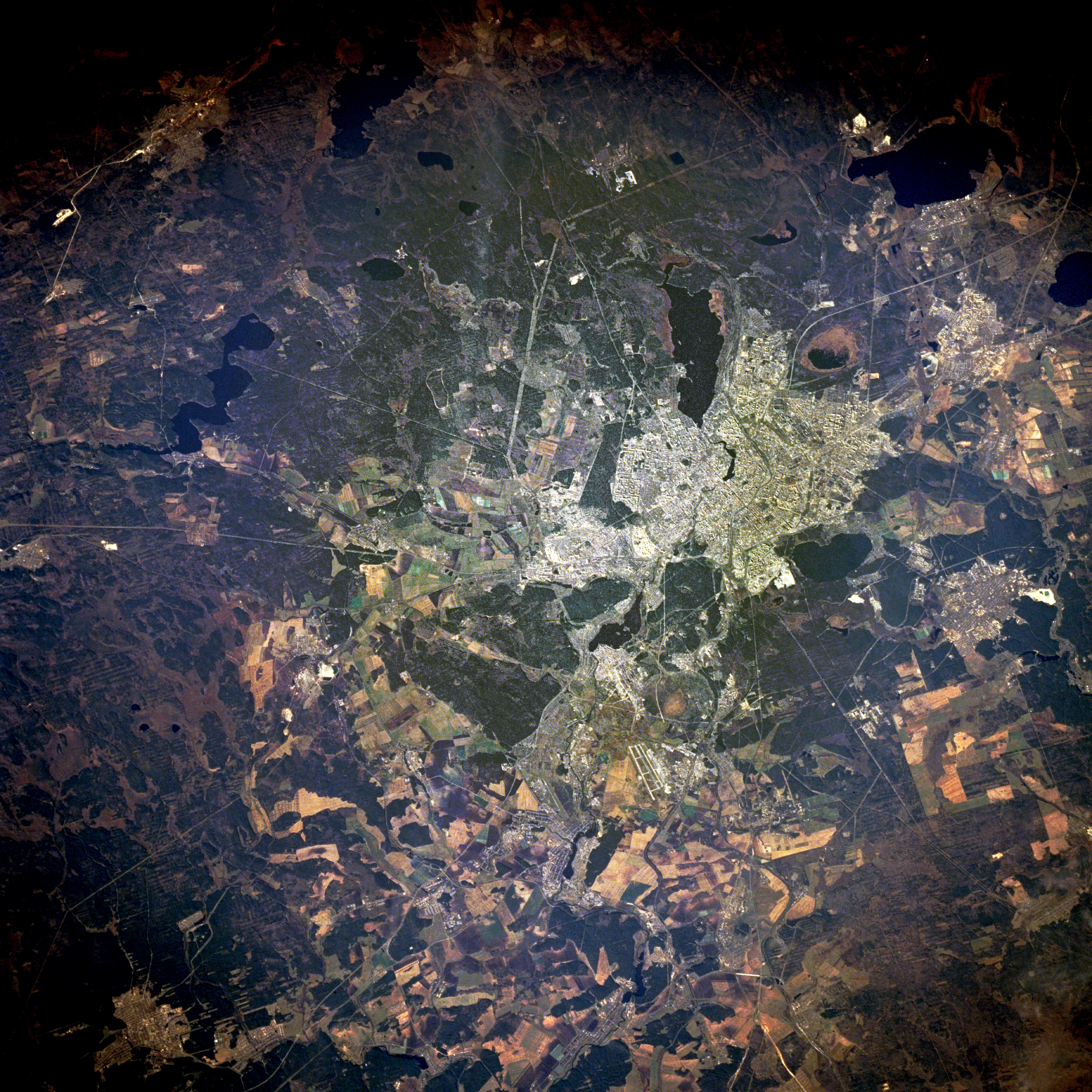
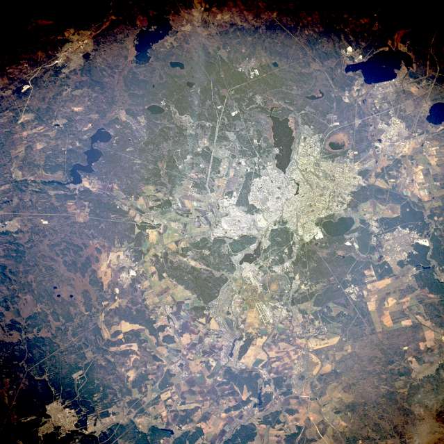
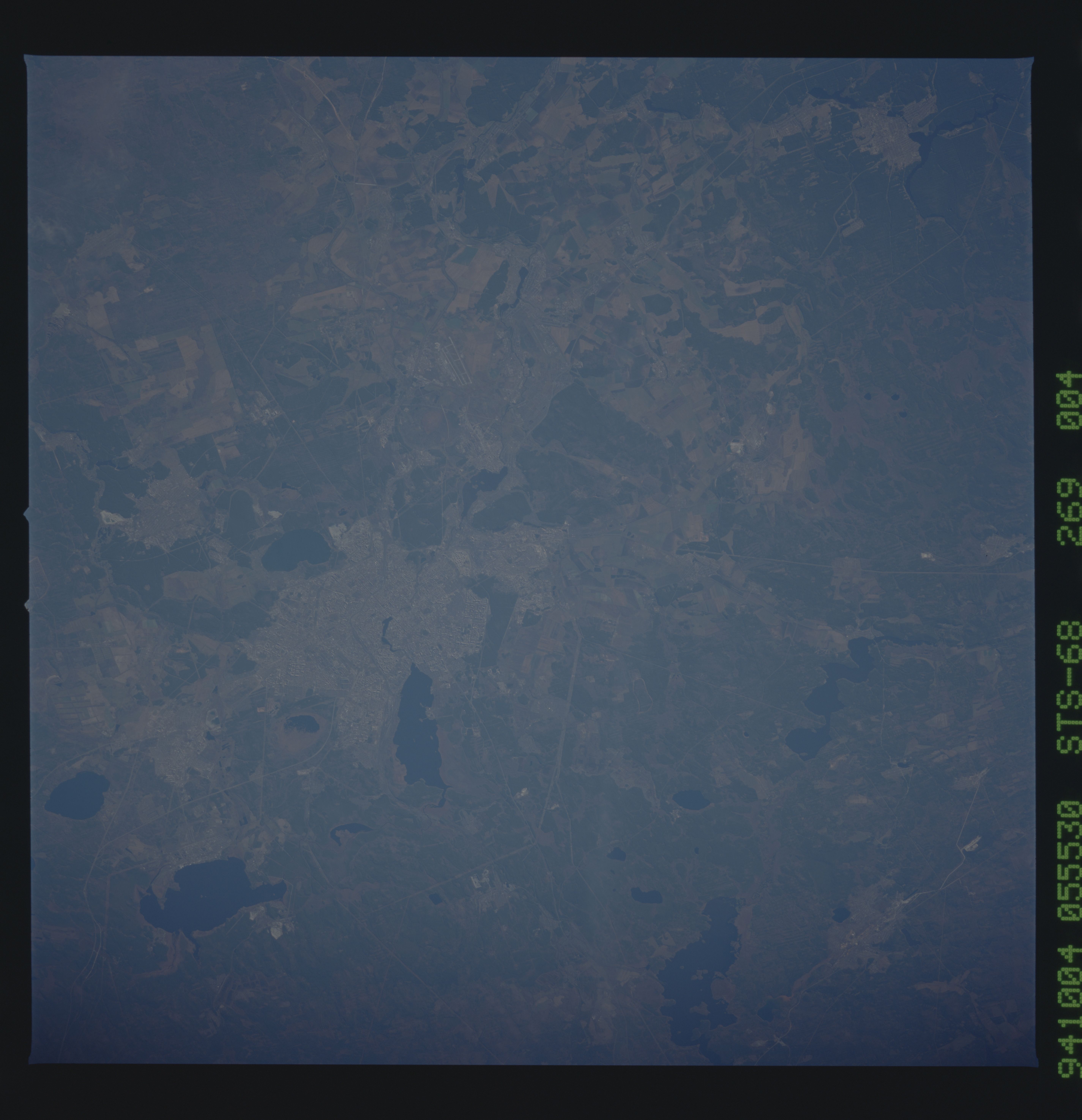
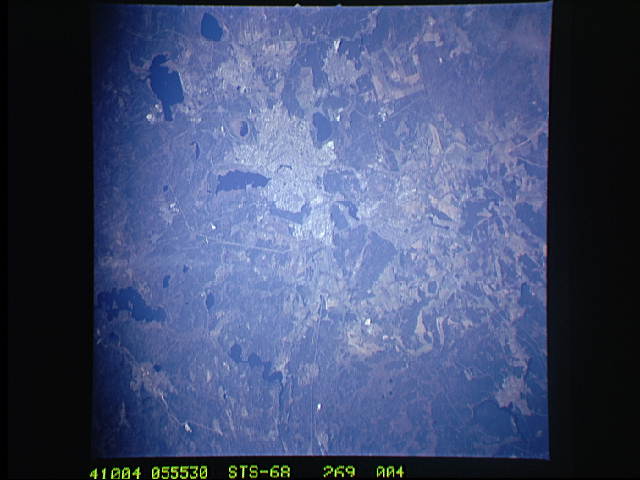
Image Caption: STS068-269-004 Yekaterinburg (Sverdlovsk) Russia October 1994
The Russian city of Yekaterinburg (Sverdlovsk), with more than 1 million people on the eastern flank of the Ural Mountains, is a regional service center for the wide range of minerals extracted from the Urals. Linear features radiate in all directions from the city--railroads; highways; pipelines; dual runways of a large airport southeast of the city; and power line rights-of-way, especially in the wide swath southwest of the city. Yekaterinburg serves as the western terminus for the Trans-Siberian Railroad. Visible are two smaller cities--Verkhnyaya Pyshma and Berezovskiy--north and northeast, respectively, and numerous lakes. The region (latitude 57 degrees north) has a relatively short growing season; however, cultivated field patterns are discernible in the area.
The Russian city of Yekaterinburg (Sverdlovsk), with more than 1 million people on the eastern flank of the Ural Mountains, is a regional service center for the wide range of minerals extracted from the Urals. Linear features radiate in all directions from the city--railroads; highways; pipelines; dual runways of a large airport southeast of the city; and power line rights-of-way, especially in the wide swath southwest of the city. Yekaterinburg serves as the western terminus for the Trans-Siberian Railroad. Visible are two smaller cities--Verkhnyaya Pyshma and Berezovskiy--north and northeast, respectively, and numerous lakes. The region (latitude 57 degrees north) has a relatively short growing season; however, cultivated field patterns are discernible in the area.
