STS068-262-34
| NASA Photo ID | STS068-262-34 |
| Focal Length | 250mm |
| Date taken | 1994.10.02 |
| Time taken | 21:29:14 GMT |
Resolutions offered for this image:
4073 x 4096 pixels 636 x 640 pixels 5700 x 5900 pixels 500 x 518 pixels 640 x 480 pixels
4073 x 4096 pixels 636 x 640 pixels 5700 x 5900 pixels 500 x 518 pixels 640 x 480 pixels

Cloud masks available for this image:
Spacecraft nadir point: 41.4° N, 121.8° W
Photo center point: 43.0° N, 122.0° W
Photo center point by machine learning:
Photo center point: 43.0° N, 122.0° W
Photo center point by machine learning:
Nadir to Photo Center: North
Spacecraft Altitude: 117 nautical miles (217km)
Country or Geographic Name: | USA-OREGON |
Features: | CRATER LAKE, DIAMOND L. |
| Features Found Using Machine Learning: | |
Cloud Cover Percentage: | 0 (no clouds present) |
Sun Elevation Angle: | 40° |
Sun Azimuth: | 211° |
Camera: | Hasselblad |
Focal Length: | 250mm |
Camera Tilt: | 40 degrees |
Format: | 5046: Kodak, natural color positive, Lumiere 100/5046, ASA 100, standard base |
Film Exposure: | Normal |
| Additional Information | |
| Width | Height | Annotated | Cropped | Purpose | Links |
|---|---|---|---|---|---|
| 4073 pixels | 4096 pixels | No | No | Earth From Space collection | Download Image |
| 636 pixels | 640 pixels | No | No | Earth From Space collection | Download Image |
| 5700 pixels | 5900 pixels | No | No | Download Image | |
| 500 pixels | 518 pixels | No | No | Download Image | |
| 640 pixels | 480 pixels | No | No | Download Image |
Download Packaged File
Download a Google Earth KML for this Image
View photo footprint information
Download a GeoTIFF for this photo
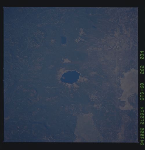
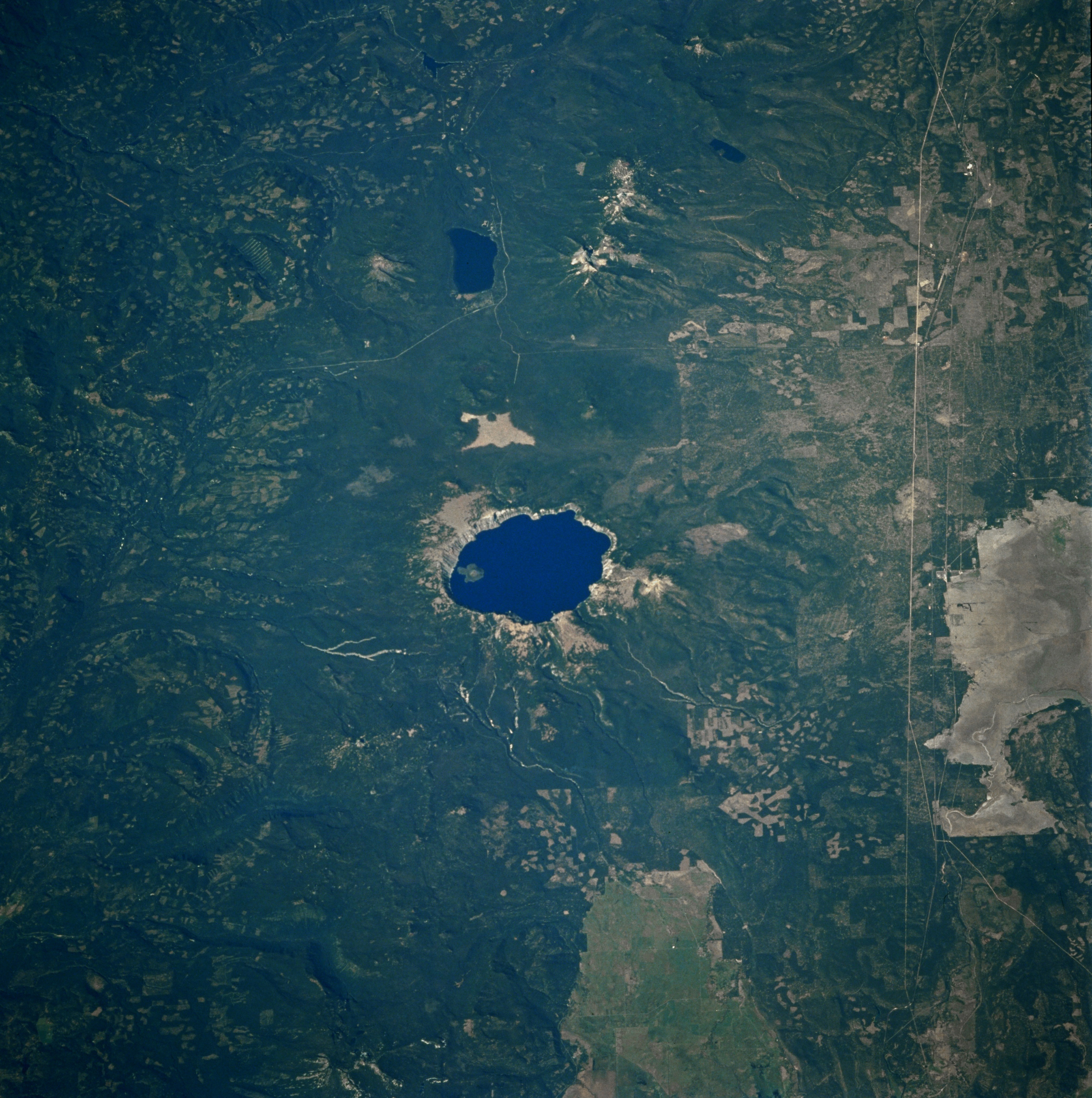
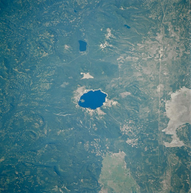
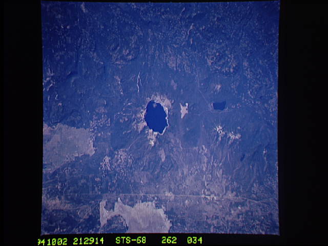
Image Caption: Crater Lake (center of photograph), the second deepest lake in North America at 1932 feet (590 meters), is displayed in this spectacular, low-oblique, north-looking photograph. Only Canada's Great Slave Lake is deeper-by 83 feet (25 meters). Crater Lake is 6 miles (10 kilometers) wide and covers 20 square miles (50 square kilometers). The lake lies in a huge caldera that was created more than 7000 years ago when the top of Mount Mazama Volcano was blown off by a violent eruption. Mount Mazama began to form more than 1 million years ago. The volcano reached an estimated altitude of nearly 12 000 feet (3600 meters) through a series of eruptions. With most of its magma and other materials exhausted following the violent eruption 7000 years ago, the foundation of the mountain was weakened. Geologists estimate that Mount Mazama collapsed around 4600 B.C., and the caldera was created. Having no inlet or outlet, the lake formed as a result of runoff from rain and snow. Cliffs surrounding the present lake vary from 500 to 2000 feet (150 to 600 meters) above the lake. Wizard Island-a cinder cone about 776 feet (230 meters) high, which formed by volcanic activity after the collapse of Mount Mazama-is near the western shore of the lake. Crater Lake, originally named Deep Blue Lake because of its sapphire hue indicating both extreme depth and extreme purity, was designated a National Park by the United States Government in 1902. Dark blue Diamond Lake is north of Crater Lake and west of Mount Thielsen Volcano.
